 VisionHub



Quarry Volume Measurement with Drone Photogrammetry
- Service
- Drone photogrammetry
- Category
- FeaturedIndustrial
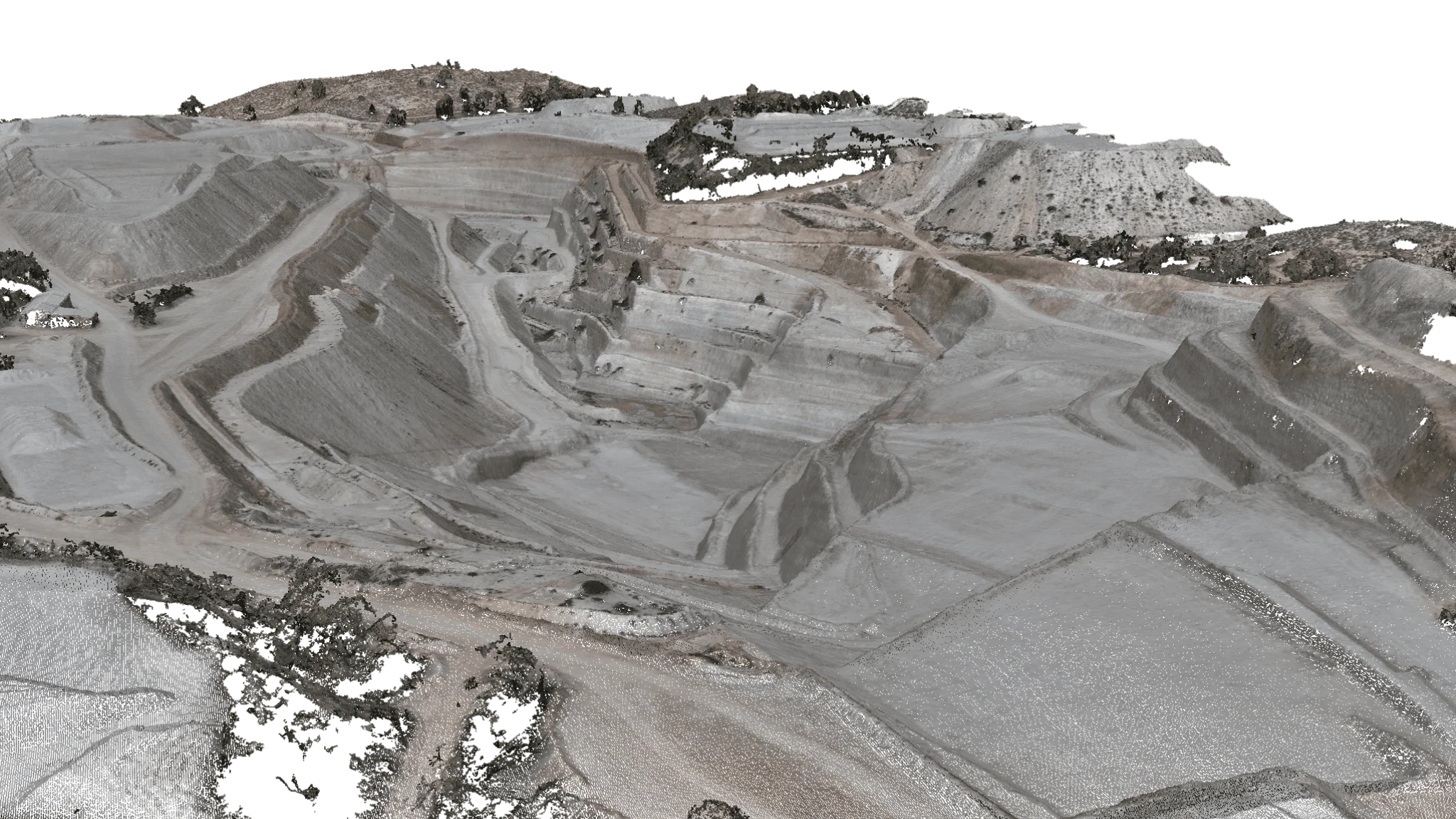
At Droneit, we have had the pleasure of carrying out periodic volume measurements of the mineral extracted from a mine using advanced drone photogrammetry. The aim of the project was to replace conventional measurement methods, such as weighing lorries, with a more efficient and accurate system based on differential volume calculations.
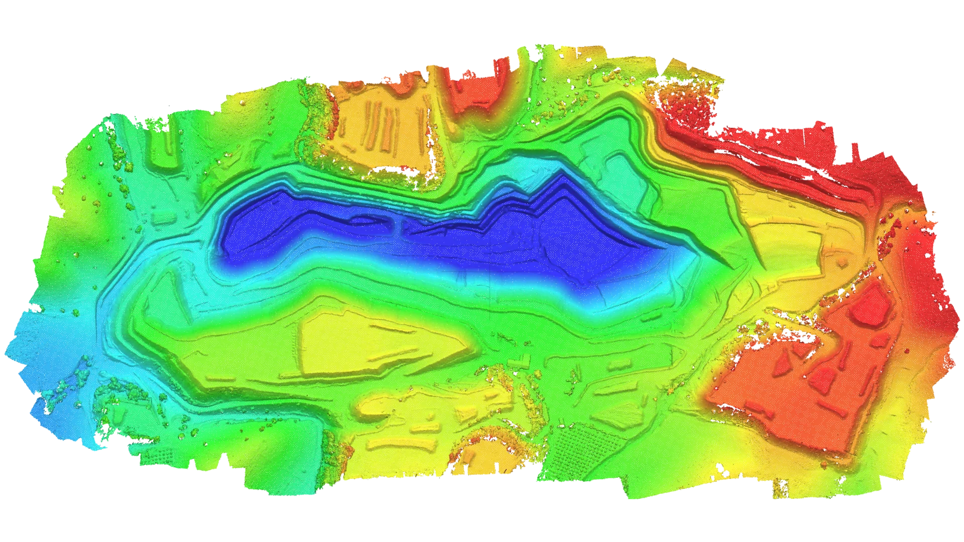
Periodic Volume Calculation Project
The client wanted to optimise the volume measurement of material extracted from the mine, which covers more than 100 ha. The traditional lorry-weighing system was replaced with drone surveying. To ensure accurate and consistent measurements, we were given detailed information on the extraction areas, including UTM coordinates and the ground control points already established at the mine. These control points allow every measurement to be taken with the same orientation and accuracy.
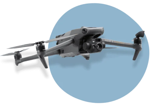
For this project, we used a Mavic 3 Enterprise drone with RTK positioning. We also deployed a ground station that locates the predefined control points and transfers that information to the drone, which considerably increases measurement accuracy. This technology delivers highly accurate data for the required volume calculations.
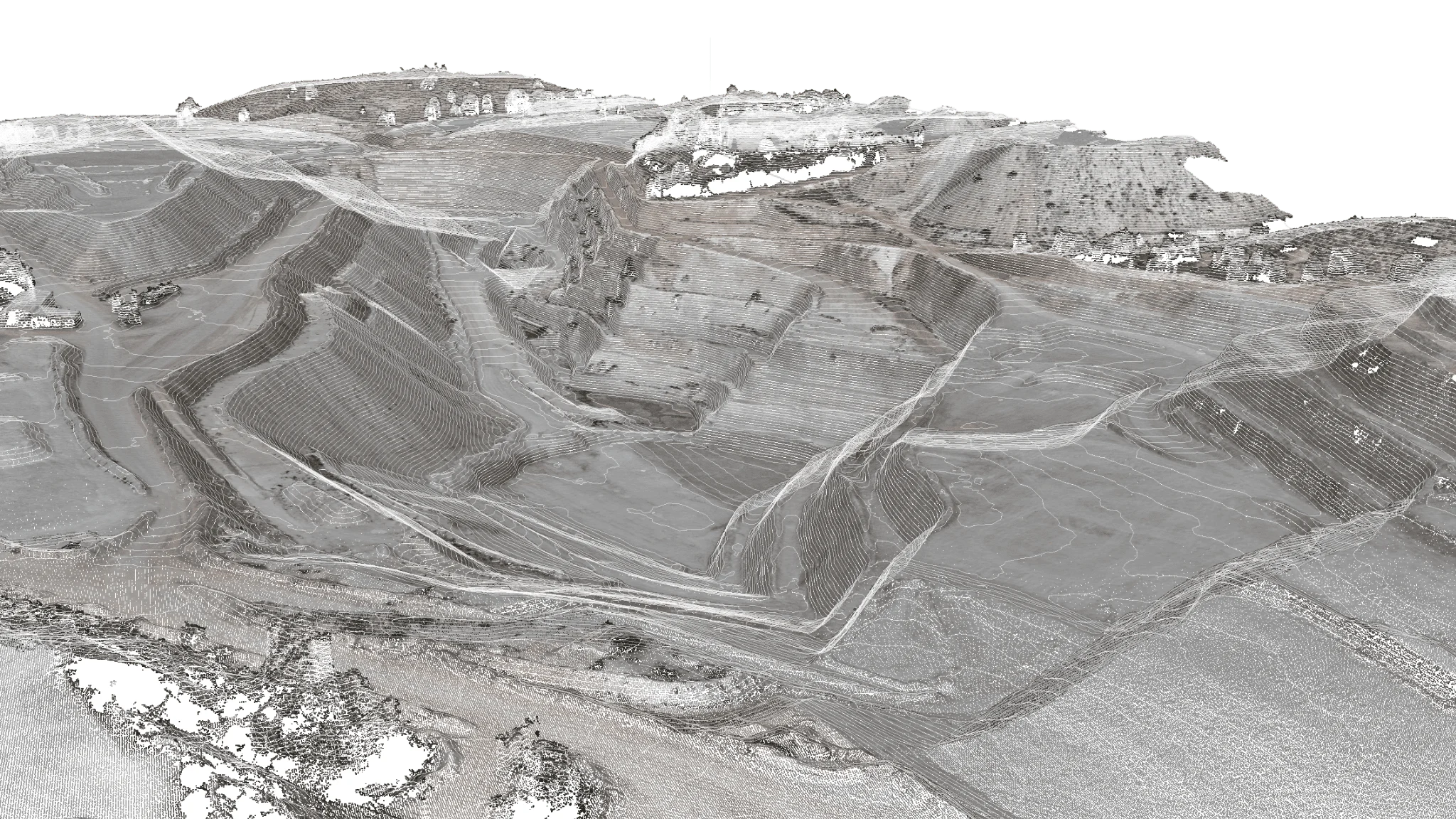
Because several parties and specialist measurement firms are involved in this project, all photogrammetric models must be unified. This keeps the data comparable and deviations to a minimum. Measurements are taken periodically, with flights scheduled over each predefined extraction area in the mine. Each measurement is completed in a single day within a set time window to avoid deviations in the data. All the required areas are covered in one morning.
Benefits of the Volume Measurement Process
Periodic volume measurement using drone photogrammetry has transformed how mineral extraction is monitored, providing accurate, fast and reliable data. The system not only improves efficiency but also streamlines operations and reduces the associated costs. If you are looking for an advanced volume measurement solution for mining projects, Droneit offers the most innovative technology to take your business to the next level.
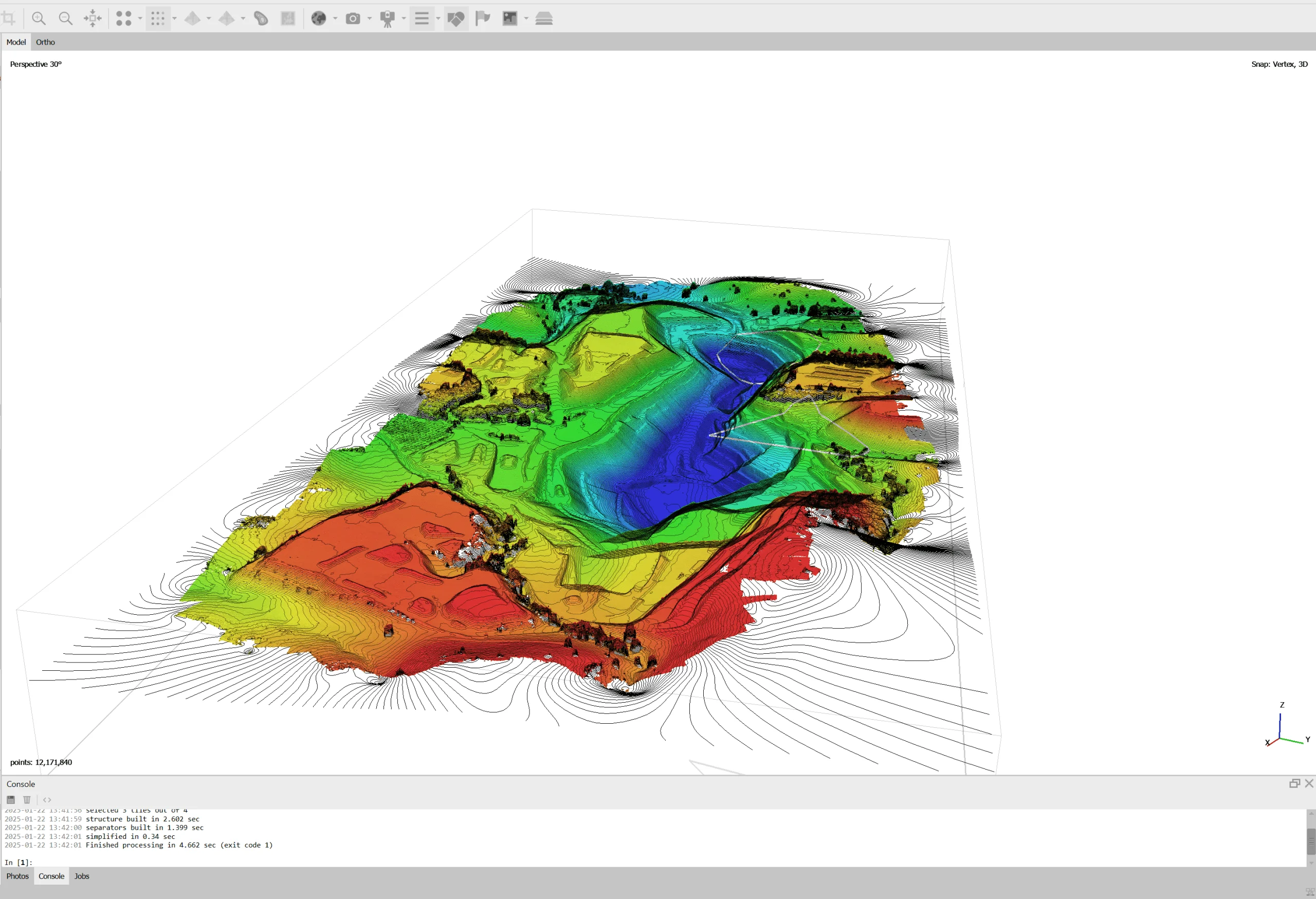
- RTK drones combined with ground stations ensure centimetre-level accuracy in volume measurements.
- Removing the need to weigh lorries and streamlining the measurement process considerably reduces time and operating costs.
- Aerial photogrammetry produces accurate 3D models that are updated periodically, providing detailed tracking of extraction progress.
In addition to the aerial filming, the client requested ground-level filming, capturing close-up shots that showed the progress of the works at surface level. This footage provided a closer, more detailed perspective that was key to documenting certain milestones and processes in the project.
Unifying the models keeps the data consistent over time, which leads to better decision-making.
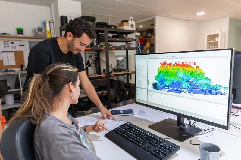 Service used on this projectDrone photogrammetryView the service
Related projects
View all

Request information
We reply with a proposal, crew and schedule. We work all over Spain from our three offices.