 VisionHub



Drone Photogrammetry
Aerial photogrammetry with PPK and RTK: centimetre accuracy and up to 200 hectares per working day, depending on the technology used. We deliver point clouds, 3D models, orthophotos and digital terrain models ready for GIS and CAD.
What is drone photogrammetry?
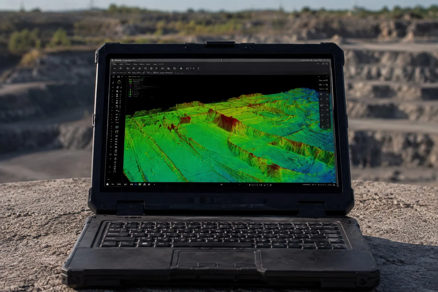
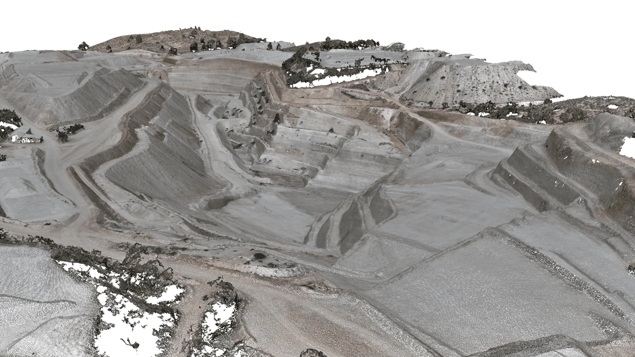
Drone photogrammetry is a technique that produces measurements and models of the terrain from overlapping, georeferenced aerial photographs. The software reconstructs the geometry and generates orthophotos, point clouds, 3D models and digital terrain models with centimetre accuracy, useful in surveying, construction, mining and infrastructure inspection.
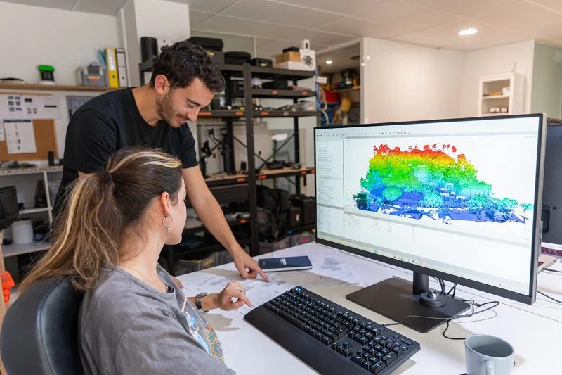
Aerial photogrammetry service
At Droneit we offer advanced drone photogrammetry solutions designed to meet the specific needs of each project. Using technologies such as PPK and RTK, we capture aerial images with centimetre accuracy and generate detailed, reliable digital models.
We stand out as one of the few providers able to cover large areas (up to 200 hectares per working day, depending on the technology used) while combining speed, accuracy and a fully tailored approach. Our team of experts analyses each project in detail to plan efficient flights, optimising time and resources.
Trusted by contractors, engineering firms and public institutions









Technical specifications
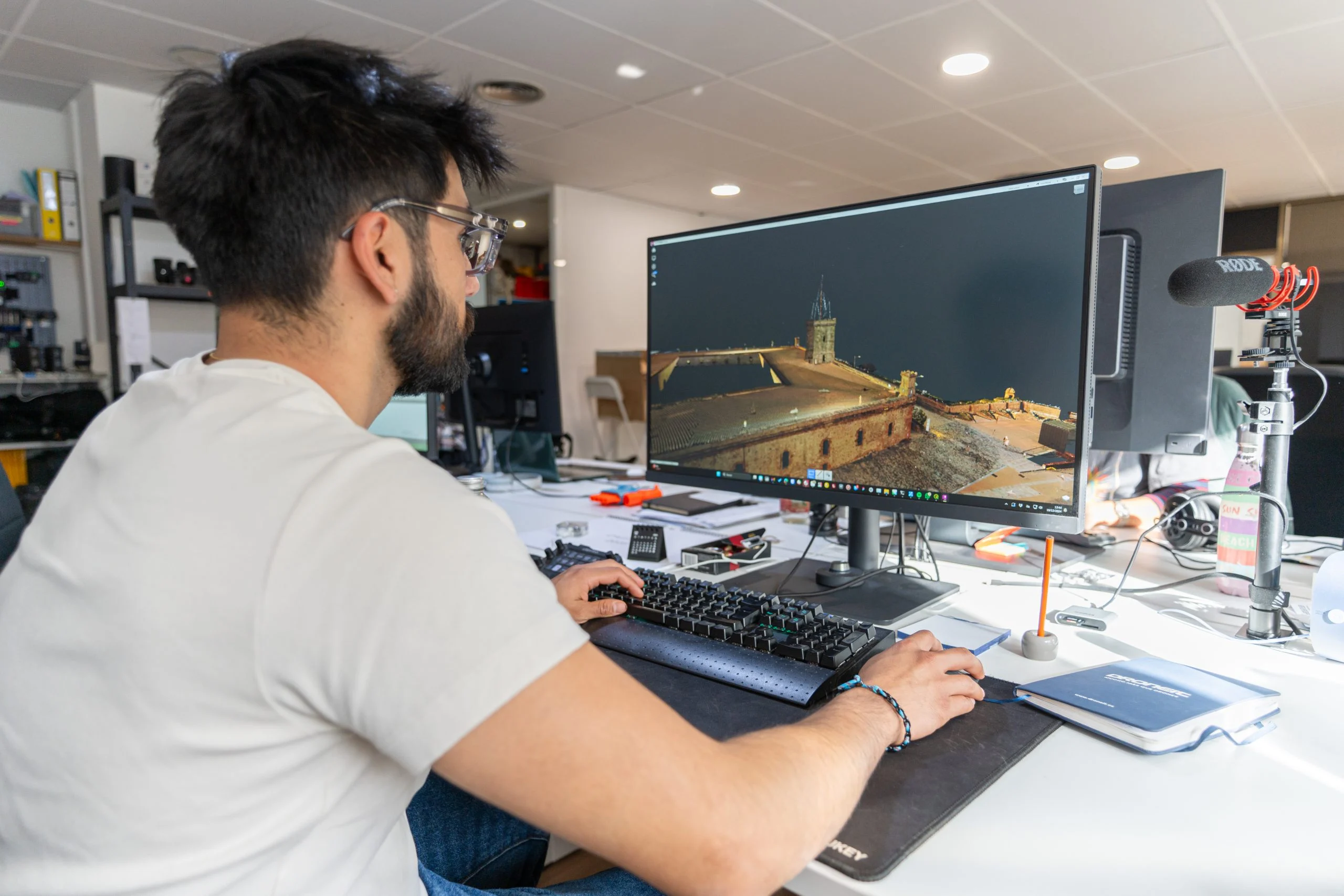
- Accuracy
Georeferenced with surveyed ground control points (GCPs), drones with RTK positioning and models with three-dimensional measurements. As a photogrammetry company, we use UAV photogrammetry systems and aerial photogrammetric cameras that deliver data with centimetre accuracy, even on large-scale projects.
- Coverage
Surveys of up to 200 hectares per working day, depending on the technology used, with two teams working simultaneously.
- Applications
- Cartography and mapping.
- Construction and urban planning.
- Precision agriculture.
- Mining.
- Infrastructure inspection.
- Forest management.
| Specification | Detail |
|---|---|
| Accuracy | Centimetre-level, with PPK and RTK positioning and surveyed ground control points (GCPs) |
| Coverage | Up to 200 hectares per working day, depending on the technology used, with two teams working simultaneously |
| Delivery formats | Point clouds: LAS/LAZ, XYZ, DXF · 3D models: OBJ, STL, PLY, FBX · Orthophoto: JPG, PNG · Digital terrain and elevation models: GeoTIFF, ASC, DXF |
| Equipment | Drones with RTK and integrated GPS, calibrated 4K cameras, GNSS measuring equipment and photogrammetry software |
| Turnaround | Depends on the project |
Service Applications and Benefits
Accuracy is fundamental in drone photogrammetry. Our drones, fitted with high-resolution cameras, capture high-quality images to create 3D models and detailed maps. This is essential in mapping and surveying, precision agriculture, civil engineering and other projects.
Efficiency and speed are further benefits: aerial photogrammetry lets us complete tasks that used to take weeks in just a few days, or even hours. This translates into significant time and resource savings for our clients.
Using drones for this technique reduces risks and identifies dangerous or hard-to-reach areas. Drone photogrammetry contributes to worker safety and minimises the risks associated with data collection.
Advanced data analysis deserves a special mention. As well as collecting data, we offer services to help you extract useful information and make informed decisions. Discover all the benefits it can bring to your business and request a quote for drone photogrammetry.
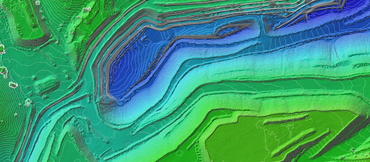
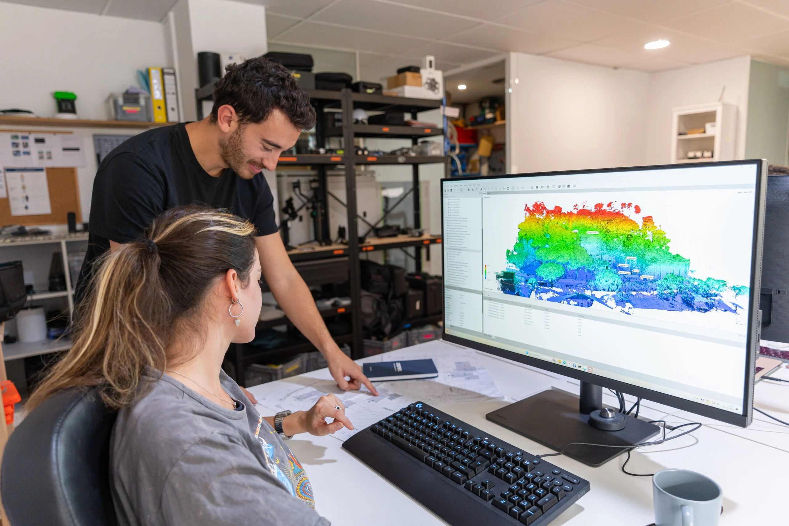
Deliverables
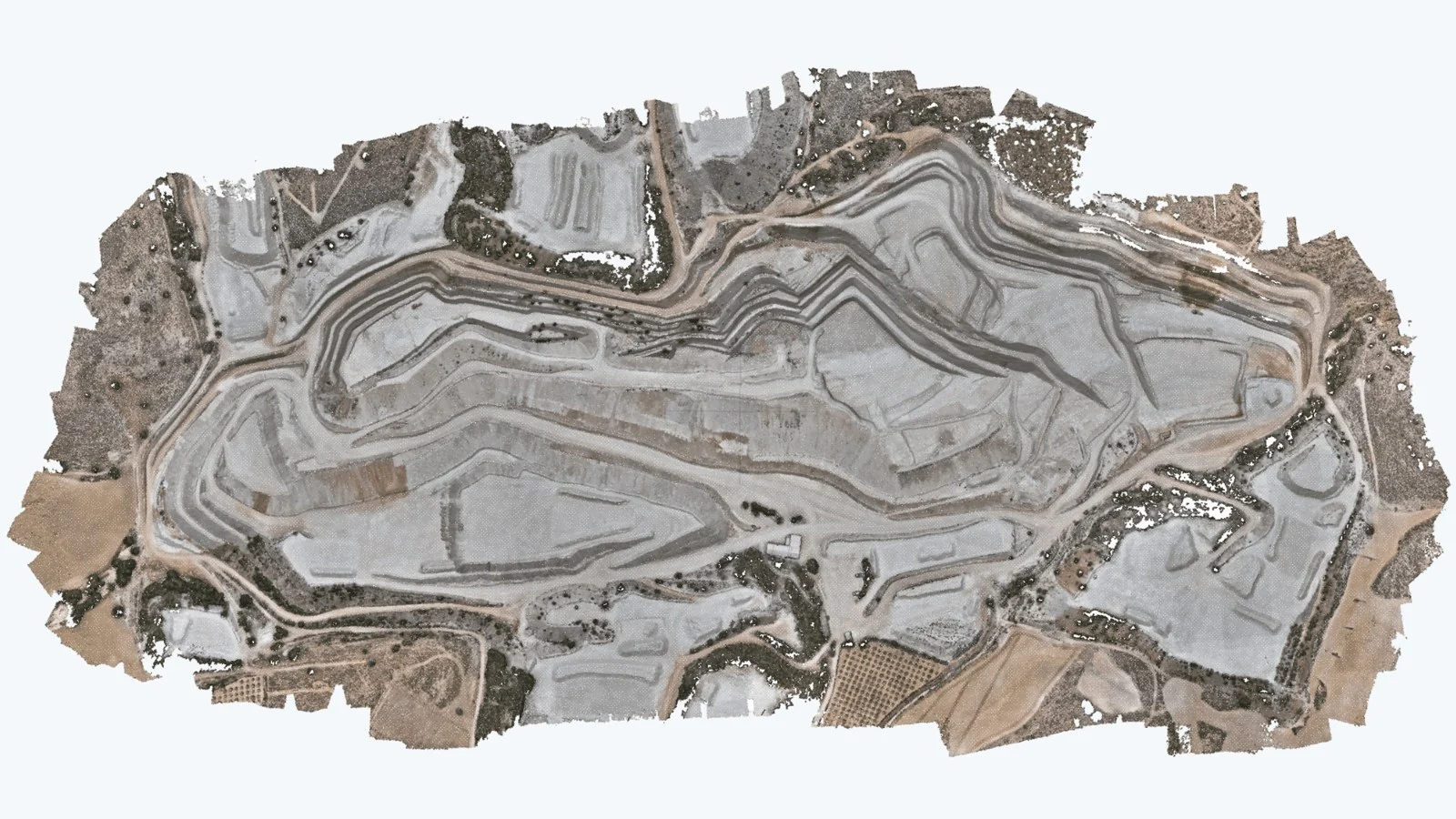
Point clouds
- LAS/LAZ
- XYZ
- DXF
- others
3D models
- OBJ
- STL
- PLY
- FBX
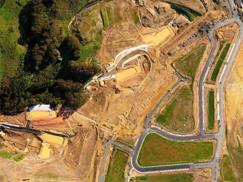
Orthophoto
- JPG
- PNG
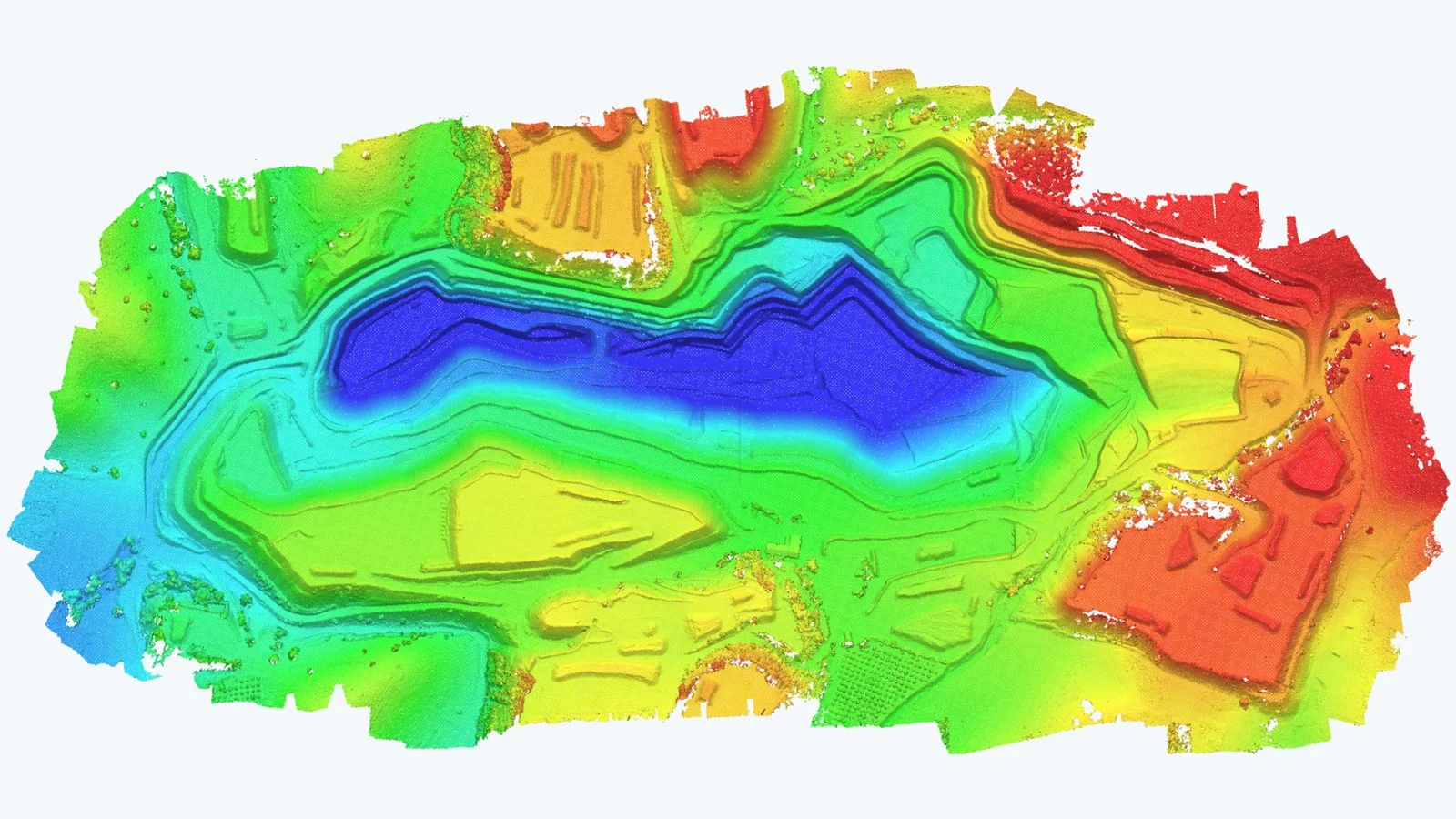
Digital models
terrain and elevation
- GeoTIFF
- ASC
- DXF
Equipment used
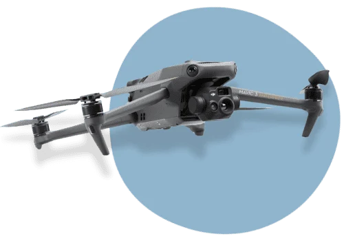
- Drones with RTK and Integrated GPSCentimetre accuracy on every flight.
- Calibrated 4K CamerasHigh-resolution images for maximum sharpness.
- Advanced Photogrammetry SoftwareEfficient processing for detailed orthophotos and 3D models.
- GNSS Measuring EquipmentAccurate field data collection to complement the aerial surveys
How we work
Step 1: Flight planning
Site analysis and flight organisation according to terrain conditions. We draw up the photogrammetry flight plan taking into account overlap, altitude, resolution and safety, and every mission is flown by a certified drone operator to guarantee data quality.
Step 2: Data capture
Drones equipped with calibrated cameras, GPS and other high-precision devices. We work with aerial photogrammetric cameras and UAV photogrammetry systems, capturing images with the level of detail needed to generate orthophotos, 3D models and technical mapping.
Step 3: Processing
Orthophotos and 3D models generated with advanced software.
Step 4: Deliverables
2D drawings at the requested scale, Shapefile vector layers, 3D files in DXF/DWG and other formats. We also deliver drone-captured orthoimages, orthomosaics and orthophoto maps, ready for use in GIS, CAD or other technical software.
Featured projects
Any questions?
If your question is not here, give us a call and we will talk you through it.
+34 675 538 886What is drone photogrammetry?
Drone photogrammetry is a geospatial data capture technique that uses aerial cameras mounted on drones to capture high-resolution images of the Earth's surface. These images are processed to create 3D models, maps and accurate data.
What is the purpose of drone photogrammetry?
The main purpose of drone photogrammetry is to create accurate, detailed representations of the terrain, with applications in mapping, surveying, precision agriculture, infrastructure inspection, natural resource management and more.
What kind of data can drone photogrammetry provide?
Drone photogrammetry can provide data such as digital terrain models, digital elevation models, orthophotos, land cover maps, and distance and volume measurements, among others.
How accurate is the data generated by drone photogrammetry?
Data accuracy depends on several factors, including camera resolution, GPS quality and the processing software used. In general, drone photogrammetry can provide highly accurate data, especially when multiple images are combined.
When is drone photogrammetry the right choice?
Drone photogrammetry is suitable for a wide variety of situations, from topographic surveys and environmental impact studies to creating 3D models of buildings and terrain.
What are the advantages of drone photogrammetry over traditional methods?
The advantages of drone photogrammetry include the ability to reach hard-to-access areas, faster data collection, lower costs and improved safety by keeping workers out of hazardous environments.
Can you fly drones to capture geotagged aerial photographs and generate a basic point cloud?
Yes. We can carry out drone aerial captures for photogrammetry projects and deliver the georeferenced images together with a basic point cloud. This material is compatible with software such as Rhinoceros, BIM tools and other platforms that allow clients to integrate their own more detailed meshes and 3D models.
Do you create 3D models from drone aerial photogrammetry?
Yes. We can capture aerial images through drone photogrammetry and generate 3D models of buildings, structures or urban areas. The results can be adapted to different uses, such as web visualisation, institutional projects, heritage documentation or technical planning.
Do you offer drone scanning with LiDAR technology?
Yes. We have drones equipped with LiDAR sensors that can scan exterior surfaces and generate high-accuracy point clouds. This data is useful for applications in surveying, civil engineering, 3D modelling or the development of specific applications, as it allows you to work with exact representations of the terrain and structures.
Do you offer drone photogrammetry services or drone hire with a pilot?
Yes. We provide aerial drone photogrammetry services, including image capture, data processing and model generation for technical analysis. We do not hire out drones without a pilot, as flights must be operated by accredited personnel, but we do offer a complete service with a professional drone pilot and specialist equipment.
Related services
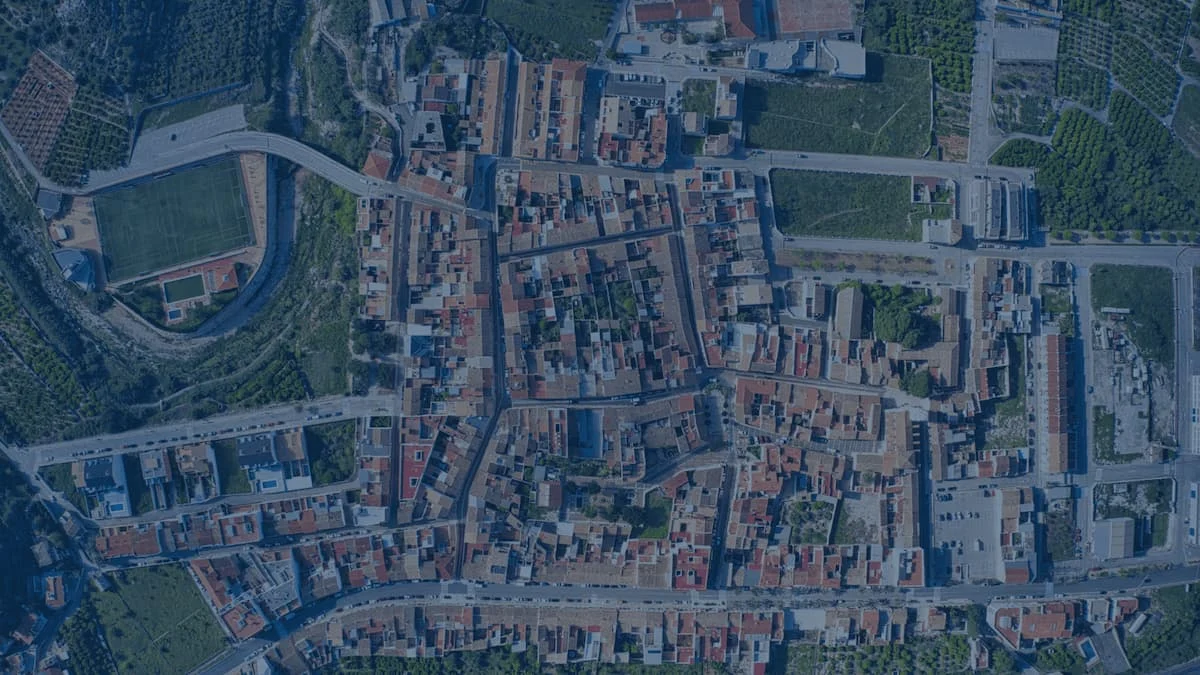
Aerial orthophotography
Drone aerial orthophotography is an aerial mapping technique that produces highly accurate georeferenced images.
Drone surveying
Discover the technical specifications, deliverables, equipment and benefits of our aerial surveying service.
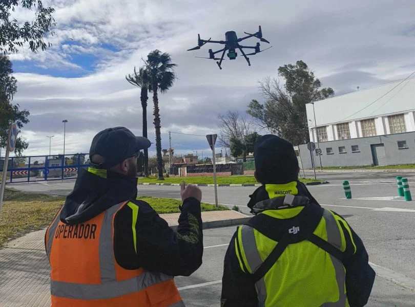
Drone mapping
Mapping focuses on representing, visualising and analysing the land, ideal for studies, planning, environmental work or documentation.
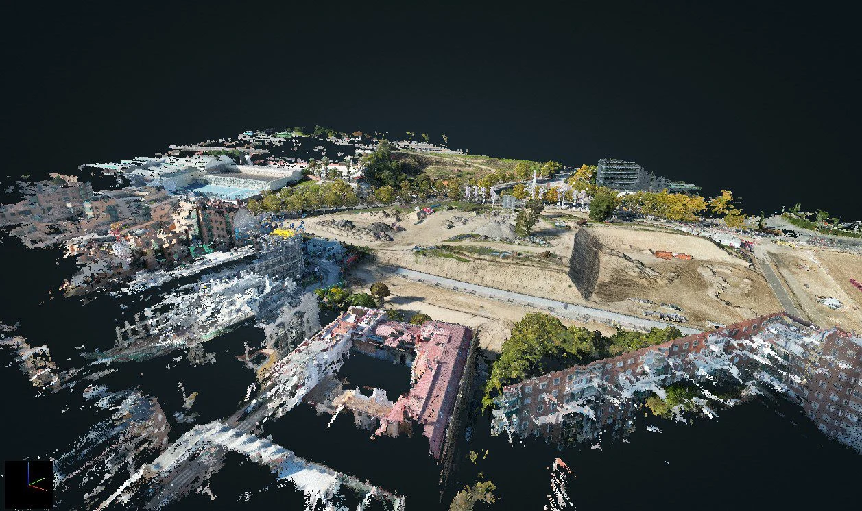
3D Laser Scanning
Discover the technical specifications, deliverables and features of our 3D LiDAR laser scanning service, by drone or on site
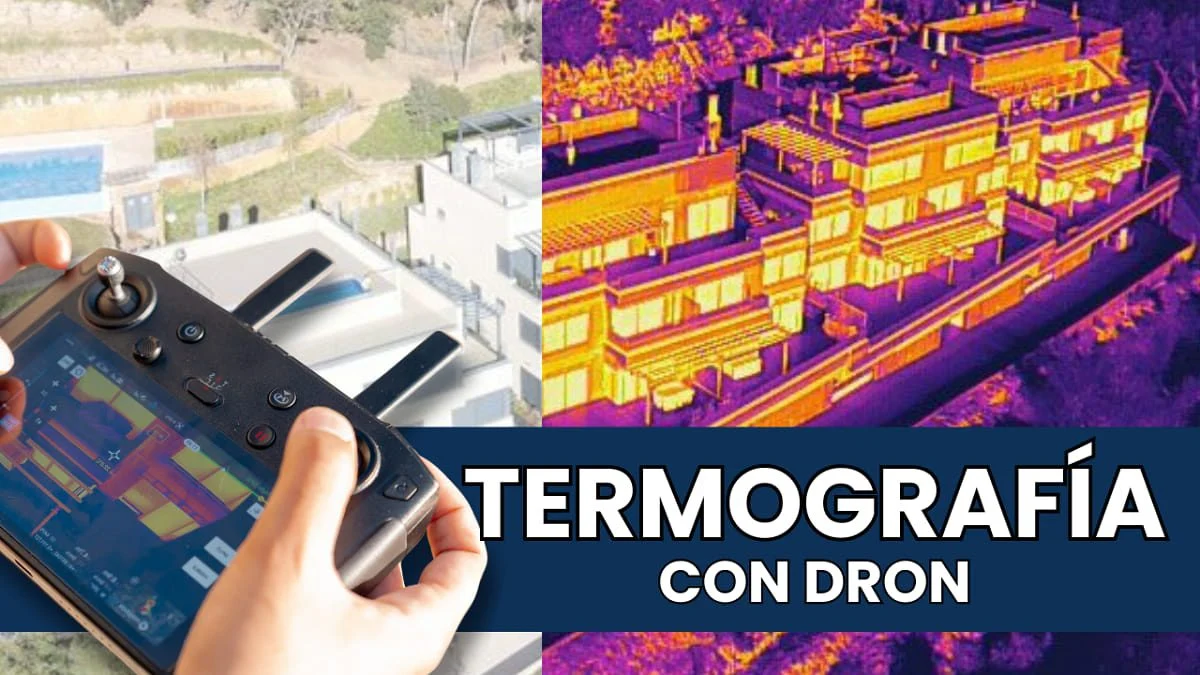
Drone thermography
Specialists in aerial drone thermography for photovoltaic and solar thermal plants, building inspections and more.
Drone infrastructure inspection
Drone inspection of infrastructure, industrial buildings, buildings, façades and more. Save costs and reduce risks with aerial industrial inspection.
Further reading
Photogrammetry for construction: how does it benefit your project?
Drone point clouds: when to use photogrammetry and when to use a LiDAR scanner
Marking ground control points on digital elevation maps
Carrying out a drone surveying project
Drone photos for mapping: technical characteristics
LiDAR drones: mapping the terrain through vegetation
Request information
We reply with a proposal, crew and schedule. We work all over Spain from our three offices.