 VisionHub



Drone photography
Professional aerial photography for companies, institutions and residents' associations, with flight permits handled by Droneit.
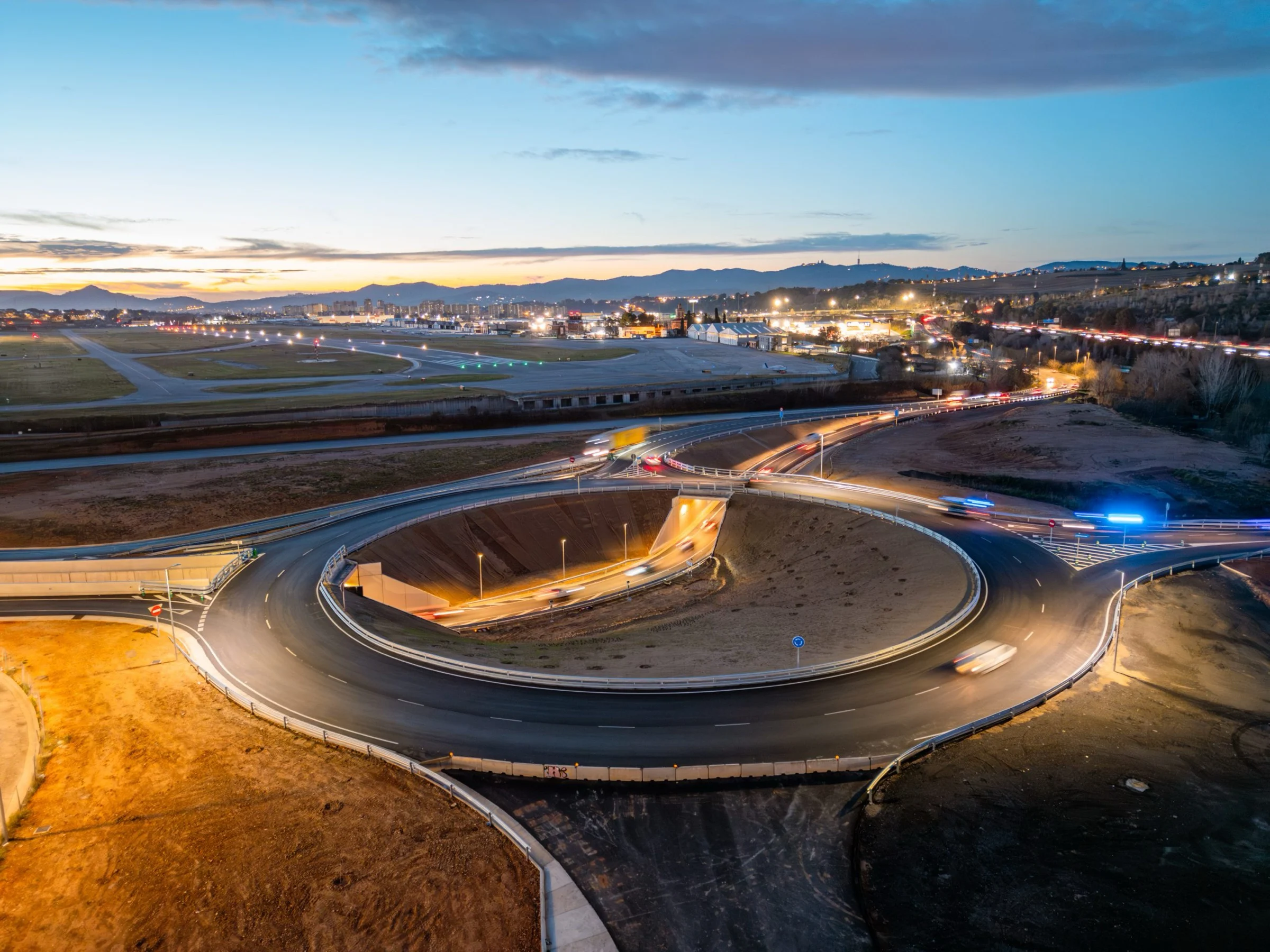
Enjoy the advantages of aerial photography
Drone photography is booming because it overcomes the limitations of ground-based camera photography at a low cost. Droneit provides professional drone photography services to companies and other groups, such as residents' associations.
Benefits
- Outstanding visual impact
- Wide geographical coverage
- Photography in hard-to-reach areas
- Flight permits handled by DRONEIT
Trusted by broadcasters, production companies and institutions


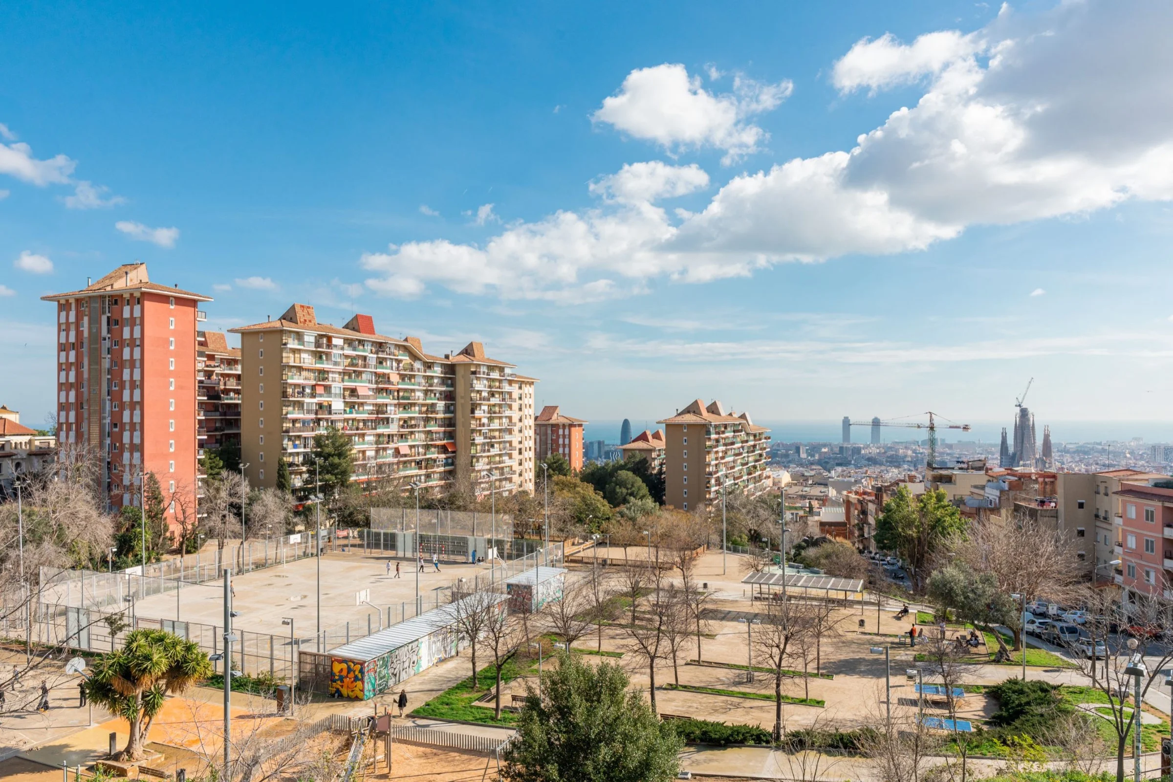
Aerial drone photography
Some of our aerial photos. Click any of them to view it full size.


Applications of drone photography
From promoting events and facilities to surveying and construction.
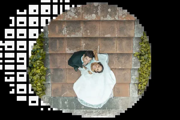
Events
- Capture unique, striking moments
- Ideal for weddings, festivals and sport
- High-precision drones
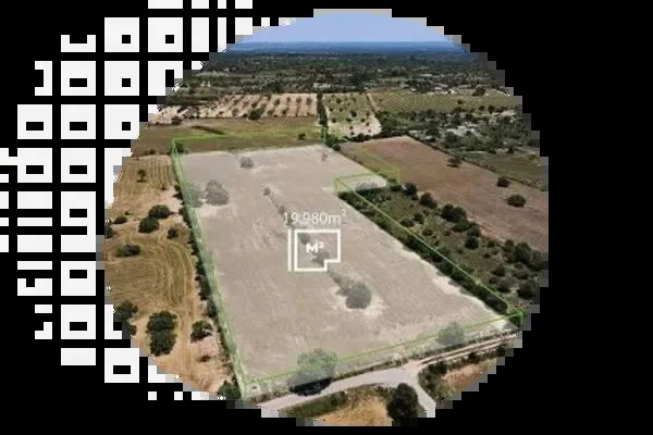
Plot measurement
- High-precision drones for measuring land
- Ideal for surveying, agriculture and cadastral management
- Define boundaries and areas quickly and accurately
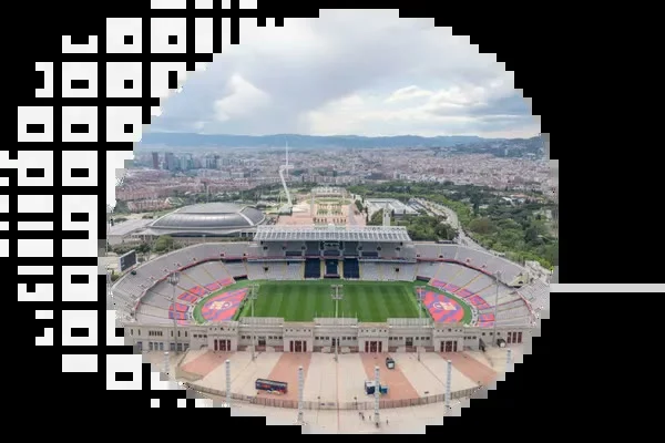
Corporate and Marketing
- Boost your brand with aerial shots
- Show your company from a different perspective
- Perfect for campaigns and digital content
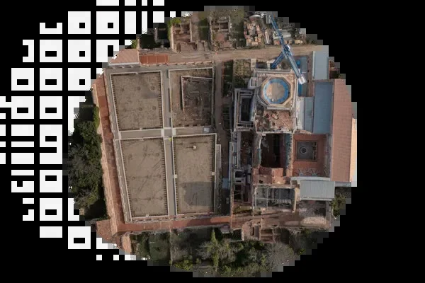
Topographic survey
- High-precision aerial photogrammetry
- Efficient coverage for civil works and urban planning
- Ideal for engineering, infrastructure development and land analysis
Property and Real Estate
- Aerial photography that makes properties stand out
- Ideal for houses, estates, hotels and natural settings
- Adds visual value to every presentation
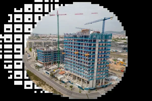
Construction time-lapse
- Visual monitoring with aerial photographs
- Document every stage of construction in high quality.
- Ideal for site control, reports, marketing and investors
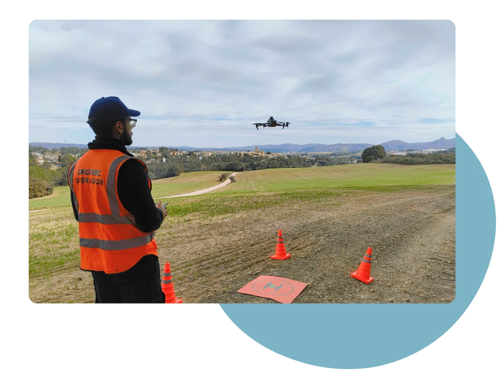
A team of expert UAV operators
At Droneit we have a team of highly qualified drone operators with extensive experience of UAV technology and a solid background in professional photography.
Their technical and artistic skills allow them to capture striking images from the air, adapting to any type of project, setting or client requirement. From event coverage to technical drone inspections, our operators guarantee high visual quality and accuracy.
How we work
From briefing to delivery of the photos, with the same team of operators.
Step 1: Briefing
You tell us what you want to photograph, where and what for, and we propose the approach and schedule.
Step 2: Flight plan and permits
We study the area and the airspace and handle the flight permits.
Step 3: Flight and capture
A UAV operator trained in photography takes the shots in the best possible light.
Step 4: Editing and delivery
We select and retouch the photos and deliver them in high resolution.
Any questions?
If your question isn't answered here, give us a call and we'll tell you how we would take your aerial photos.
+34 930 230 964What is aerial drone photography, and what do companies use it for?
Aerial drone photography means taking professional photographs from the air with drones carrying high-resolution cameras. Companies use it to show facilities, real estate developments, hotels, construction sites or events from a perspective that cannot be achieved on the ground, and to document land and plots.
What formats and resolution do you deliver aerial photos in?
We deliver the photographs in high resolution, as JPG or PNG ready for websites, catalogues, social media and print, and in RAW when your team wants to retouch them themselves.
Do aerial photos include editing and retouching?
Yes. We select the best shots and retouch them (colour, light, framing and horizon) before delivering them. If you prefer, we can also give you the unprocessed files.
Who handles the permits for drone photography?
We do. As a drone operator authorised by AESA, we study the area and the airspace, apply for the necessary flight permits and, on private property, arrange the owner's consent. Flight permits handled by Droneit are part of the service.
Do you do aerial photography of buildings and residential blocks?
Yes. We photograph façades, roofs and courtyards of buildings and residential blocks, both to document their condition before construction or repair work and for presentations and reports. If you need to examine damage in detail, we recommend a technical drone inspection.
What is the difference between an aerial photo and an orthophoto?
An aerial photo aims for an attractive image with perspective, designed to communicate. An orthophoto is a mosaic of many photographs, geometrically corrected, with a uniform scale and georeferenced, so that you can take measurements from it. If you need to measure areas or distances, see our aerial drone orthophotography service.
Related services
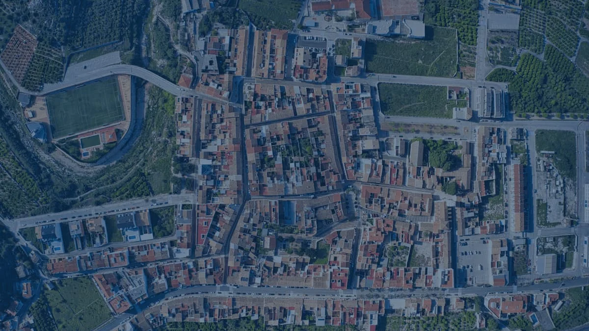
Aerial orthophotography
Raster map produced with drones and compatible with GIS.
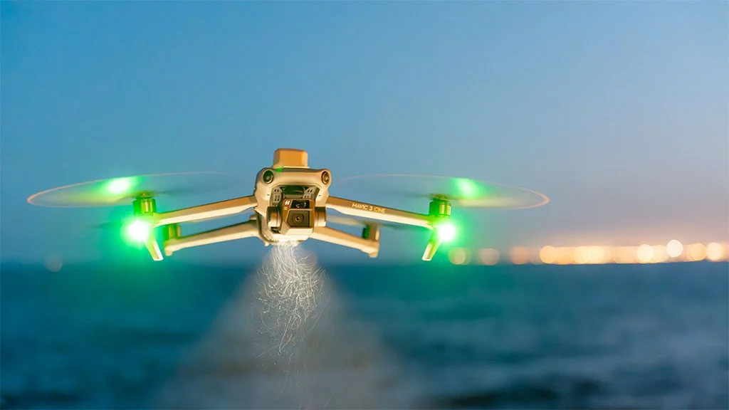
Drone services
Aerial filming, technical inspections and surveys with drones.
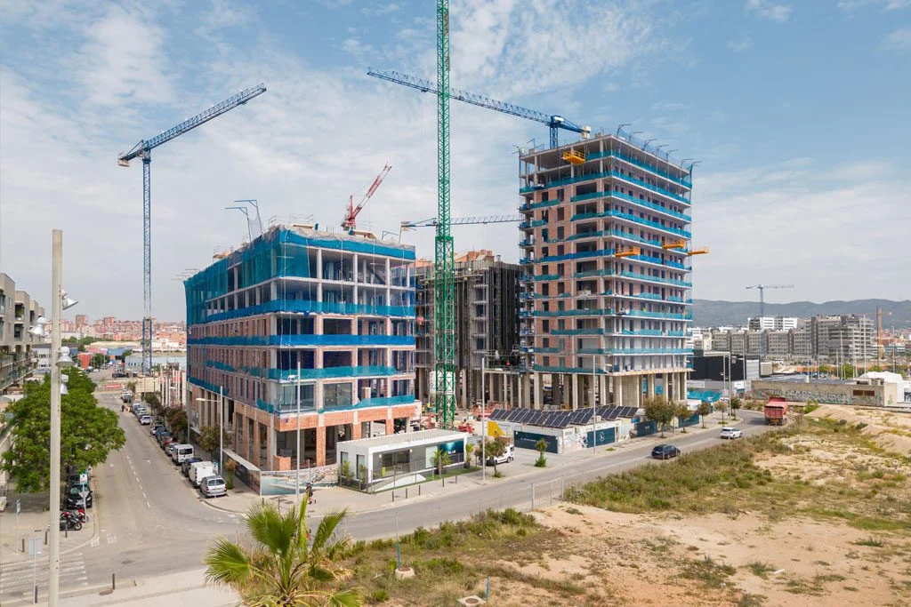
Drone progress monitoring
Regular flights to document construction progress.
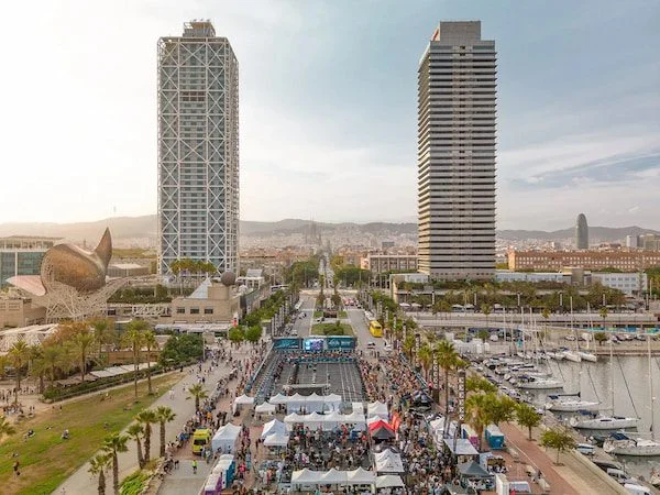
Drone event filming
Aerial and FPV shots for events, trade fairs and sport.
Further reading
Carrying out a drone surveying project
Drone circuits for events
How drone legislation has evolved
Drones in Engineering
Photographing and filming festivals with drones
Filming sports events with drones
Drone regulations in Spain 2026: the essentials for flying legally
The real impact of drones on workplace safety
Request information
We reply with a proposal, crew and schedule. We work all over Spain from our three offices.