 VisionHub



Drone mapping
2D and 3D maps, orthomosaics, digital models and layers ready to integrate into GIS. For urban planning, the environment, engineering, agriculture and heritage.
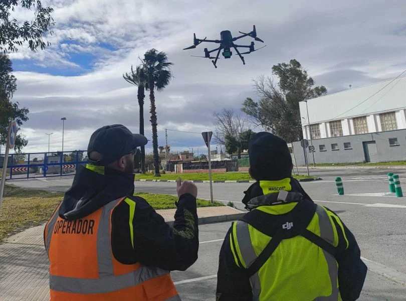
Accurate maps, geospatial analysis and high-resolution digital models
At Droneit we carry out aerial drone mapping to produce highly accurate 2D and 3D maps, orthophotos, digital models and geospatial products ready to integrate into GIS. Using advanced photogrammetry and high-resolution sensors, we provide a complete view of the land for urban planning, environmental studies, engineering, natural resource management and land analysis.
Get detailed, up-to-date and reliable information with a fast, safe and low-cost methodology.
Need a survey with centimetre accuracy for a project or construction site? See our drone surveying service.
Trusted by contractors, engineering firms and public institutions









Applications of drone mapping
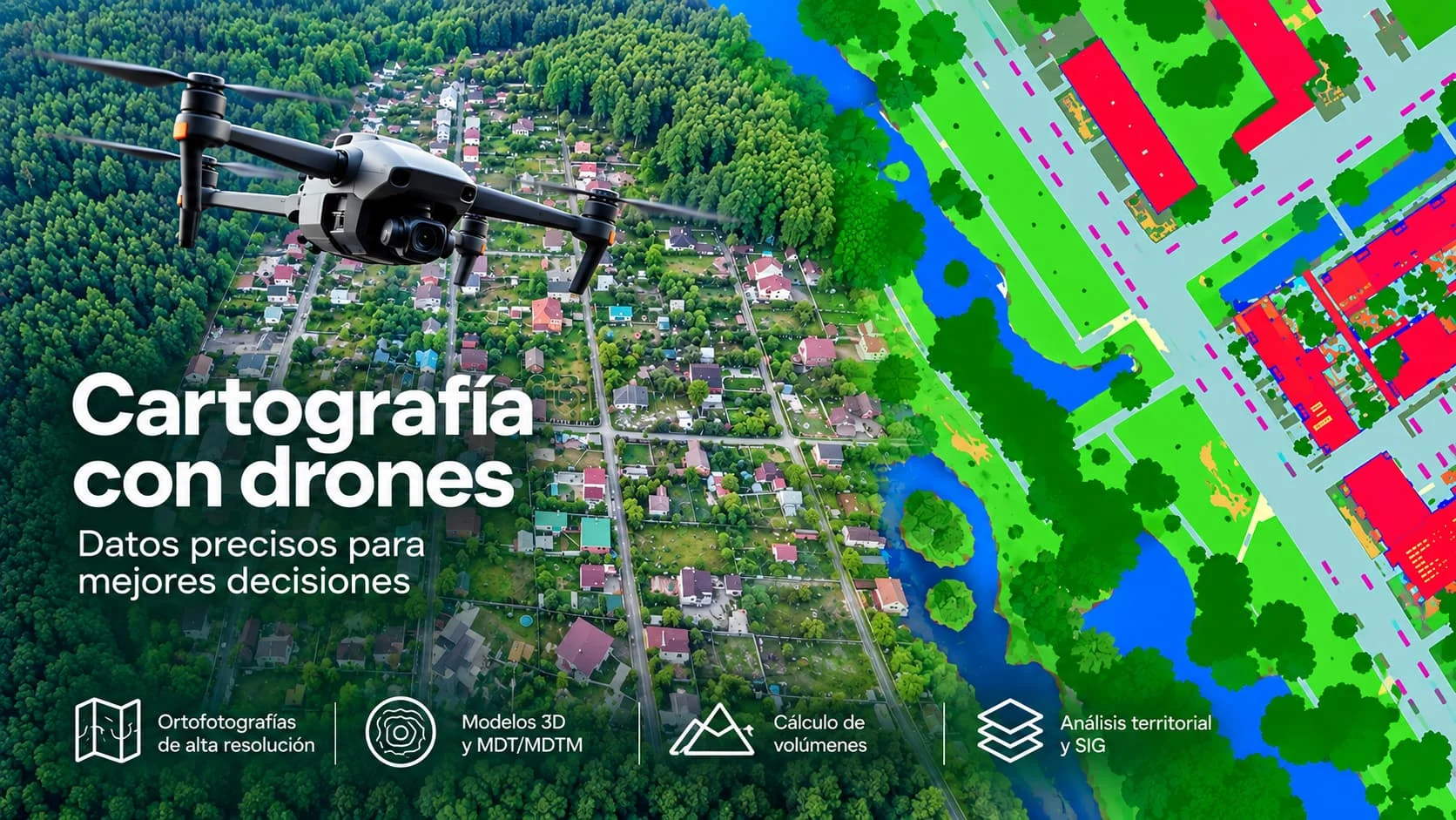
Aerial mapping is key on projects that need the land to be understood, analysed or represented accurately:
- Urban and spatial planning
- Base mapping for urban planning studies
- Urban inventories
- Spatial impact assessment
- 3D models of urban areas
- Environment and land management
- Forest monitoring
- Assessment of ecosystems and habitats
- Multispectral analysis (vegetation, crop health, NDVI)
- Environmental mapping for reports and studies
- Engineering and civil works
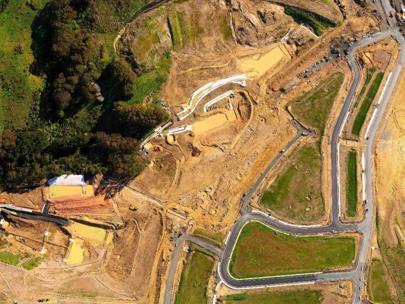
- Mapping large areas before projects begin
- Construction progress monitoring
- Integration with BIM and CAD models
- Agriculture and natural resources
- Multispectral analysis and vegetation models
- Monitoring of farms
- Soil management and land use
- Heritage and archaeology
- Aerial mapping of archaeological sites
- Photogrammetric models for conservation
- Documentation of protected areas
Advantages of drone mapping
Detailed images that allow features of the land to be interpreted with great accuracy.
Drones can map hectares in a matter of minutes.
We reach places that would be costly or impossible to access on the ground.
Accurate products for studies, reports and decision-making.
A far more efficient alternative to traditional methods.
Deliverables
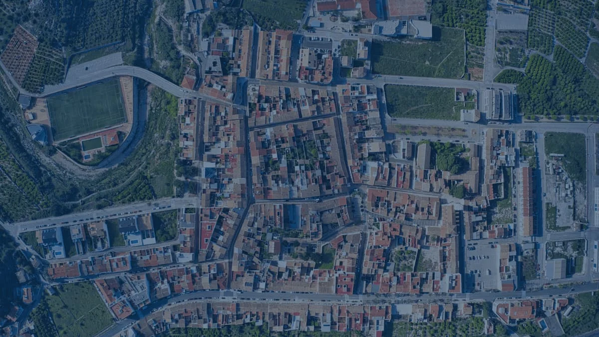
Maps and orthophotos
- Orthomosaics (GeoTIFF)
- High-resolution orthophotos
Vector mapping
- SHP / DXF / DWG
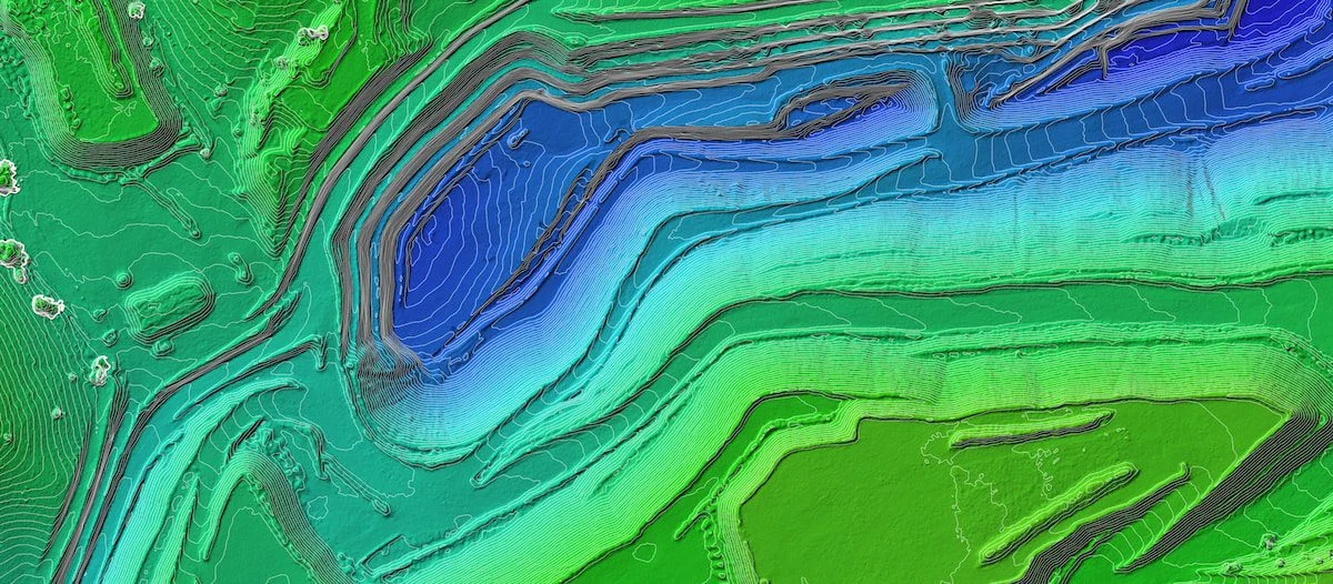
- Contour lines
- Plot maps and thematic layers
Digital models
- DSM
- DTM
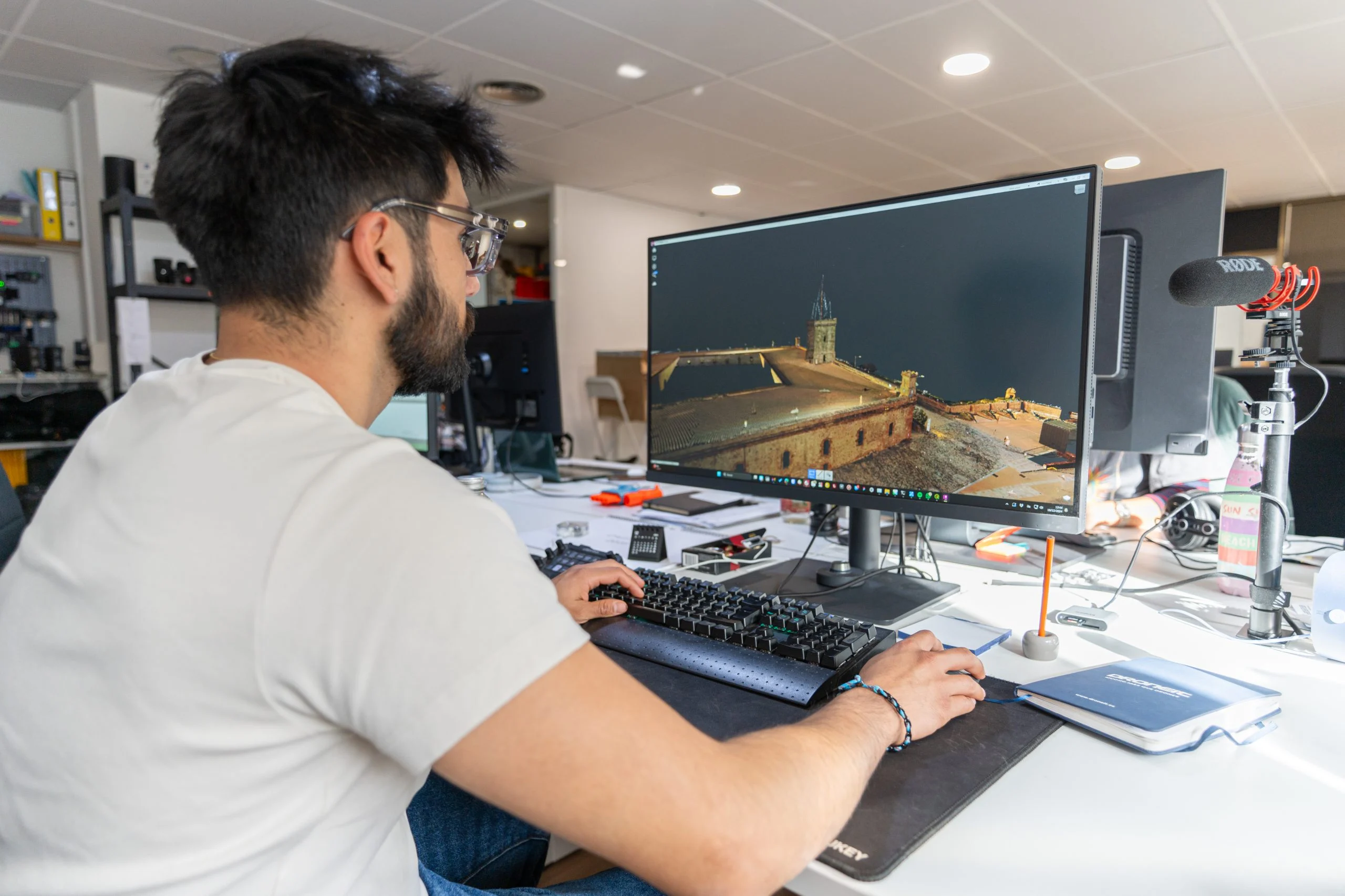
- Textured 3D models
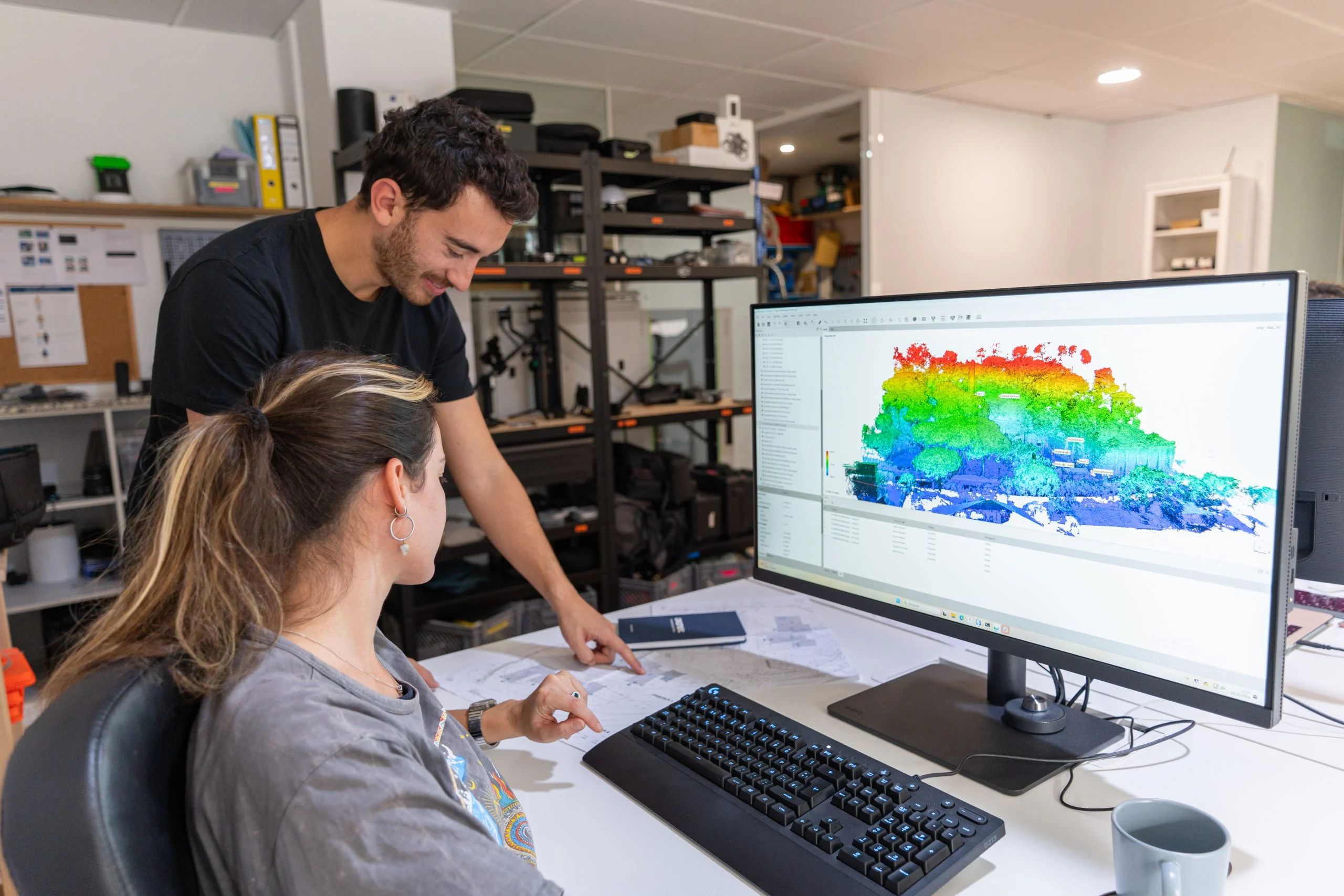
Point clouds
- LAS / LAZ
- XYZ
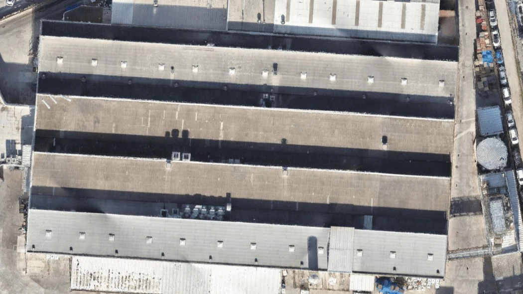
Aerial mapping workflow
Step 1: Flight planning
We analyse the area and determine the optimal altitude, forward and side overlap, environmental conditions and flight path for maximum coverage.
Step 2: Image capture
We use drones with calibrated high-resolution cameras and RGB or multispectral sensors, depending on the needs of the project.
Step 3: Photogrammetric processing
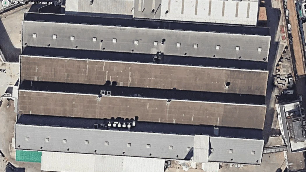
Using specialist software, we produce orthomosaics, 2D maps, 3D models, point clouds and vector and raster GIS layers.
Step 4: Analysis and delivery
Results are delivered in GIS- and CAD-compatible formats, ready to integrate into ArcGIS, QGIS, AutoCAD, Revit, Civil 3D, Global Mapper and more.
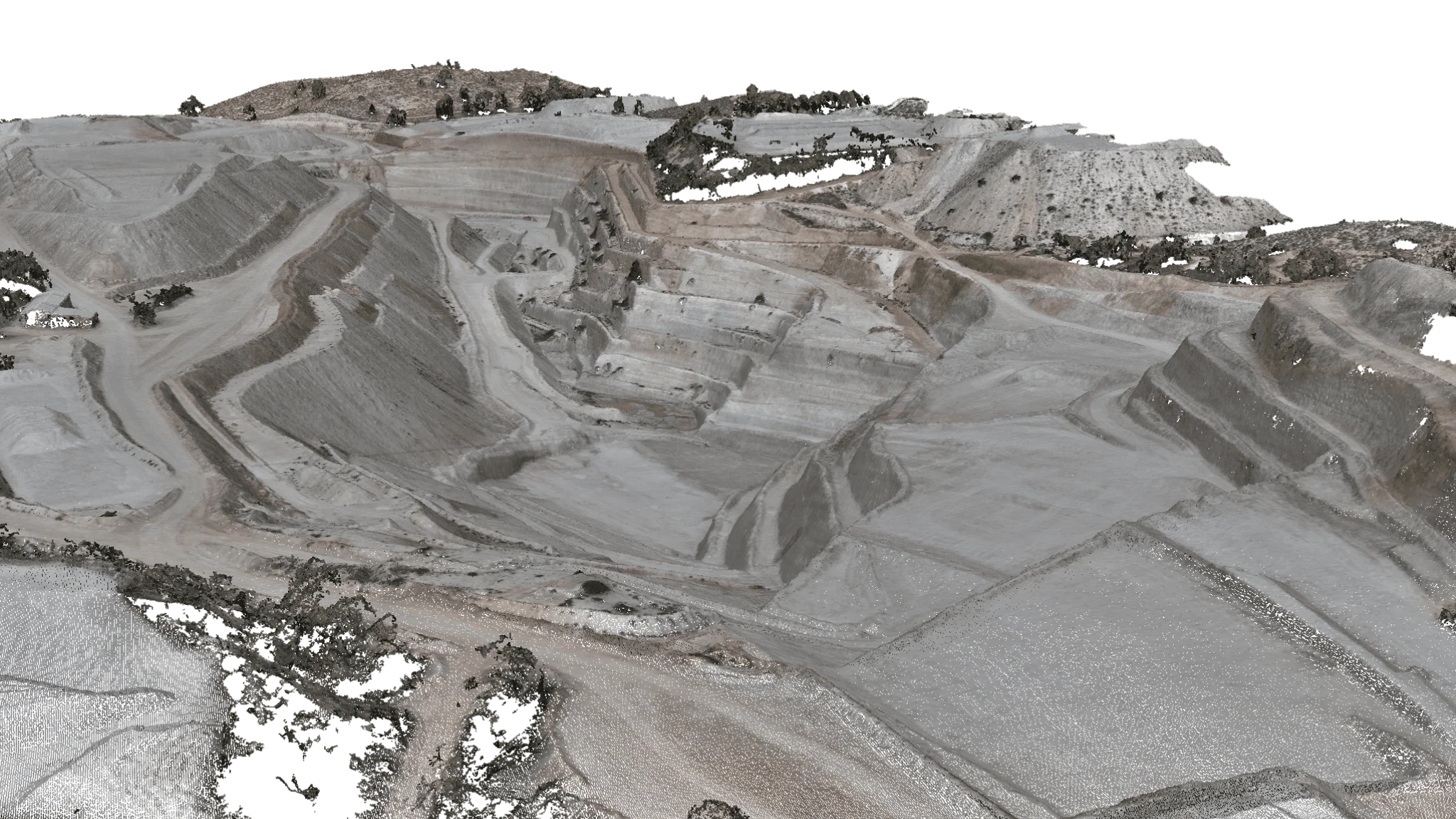
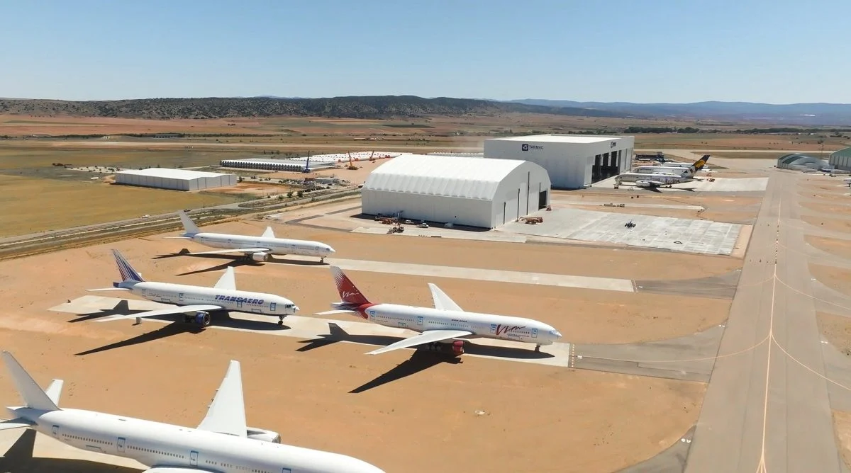
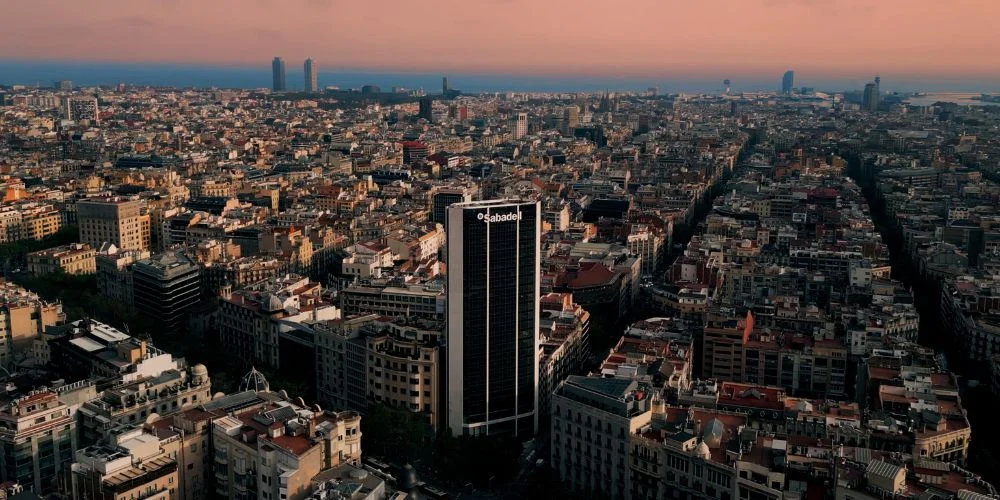
Featured projects
Any questions?
If your question is not here, give us a call and we will talk you through it.
+34 675 538 886What is drone mapping?
Drone mapping involves capturing overlapping aerial images and processing them with photogrammetry techniques to produce maps and digital models. It represents the land in high resolution and is far more efficient and economical than crewed flights or satellite imagery.
What are the advantages of drone mapping over traditional methods?
Drones produce maps and terrain models with greater accuracy, shorter turnaround times and at a far lower cost than conventional aerial mapping. They can also reach difficult areas and provide frequently updated information.
What products can drone mapping deliver?
Aerial mapping can produce different types of output:
- High-resolution orthomosaics and orthophotos
- Realistic 3D models of the surroundings
- Thematic maps tailored to each project
- Vector mapping (DXF, SHP…)
- Digital Surface and Terrain Models (DSM/DTM)
- Geospatial layers compatible with GIS
What are drone-generated digital models used for?
3D models, DSMs and DTMs are used for:
- Urban planning and environmental studies
- Land analysis and planning
- Infrastructure assessment
- Integration into GIS platforms
- Engineering projects and technical documentation
Related services
Drone surveying
Discover the full technical specifications of our aerial surveying service, along with deliverables, equipment used and benefits.
Aerial orthophotography
Drone aerial orthophotography is an aerial mapping technique that produces highly accurate georeferenced images.
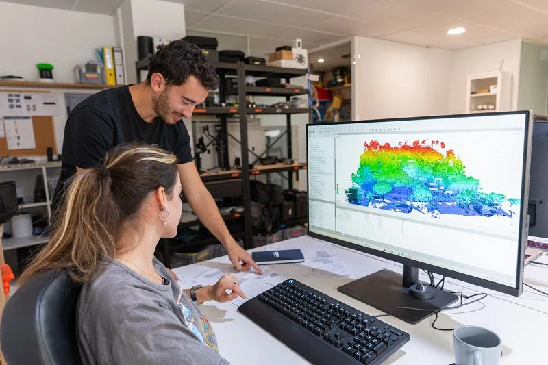
Drone photogrammetry
Drone photogrammetry, or aerial photogrammetry, is an essential tool for creating accurate, high-resolution 3D models.
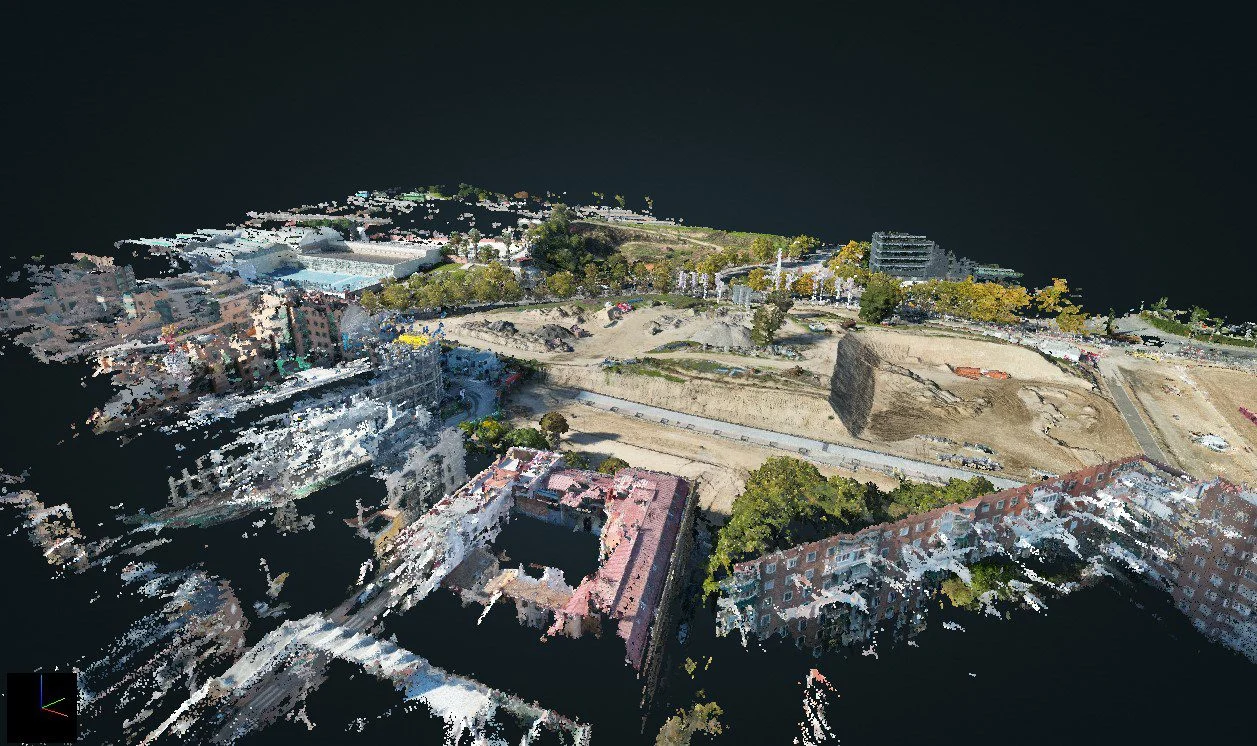
3D Laser Scanning
3D laser scanning with drone LiDAR and terrestrial scanners: georeferenced point clouds, 3D models and Scan to BIM, with RMS accuracy of ±2 cm.
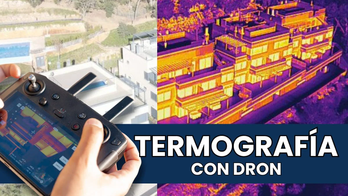
Drone thermography
Specialists in aerial drone thermography for photovoltaic and solar thermal installations, building inspections and more.
Further reading
Request information
We reply with a proposal, crew and schedule. We work all over Spain from our three offices.