 VisionHub



Blog
, Industrial Sector, Construction Sector, Drones
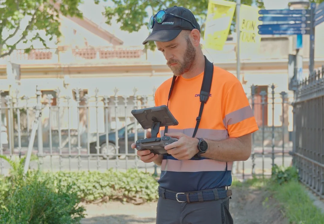
The real impact of drones on workplace safety
A drone does not replace a worker. In certain cases, it replaces the need for that worker to be exposed to risk in order to gather information.
Read article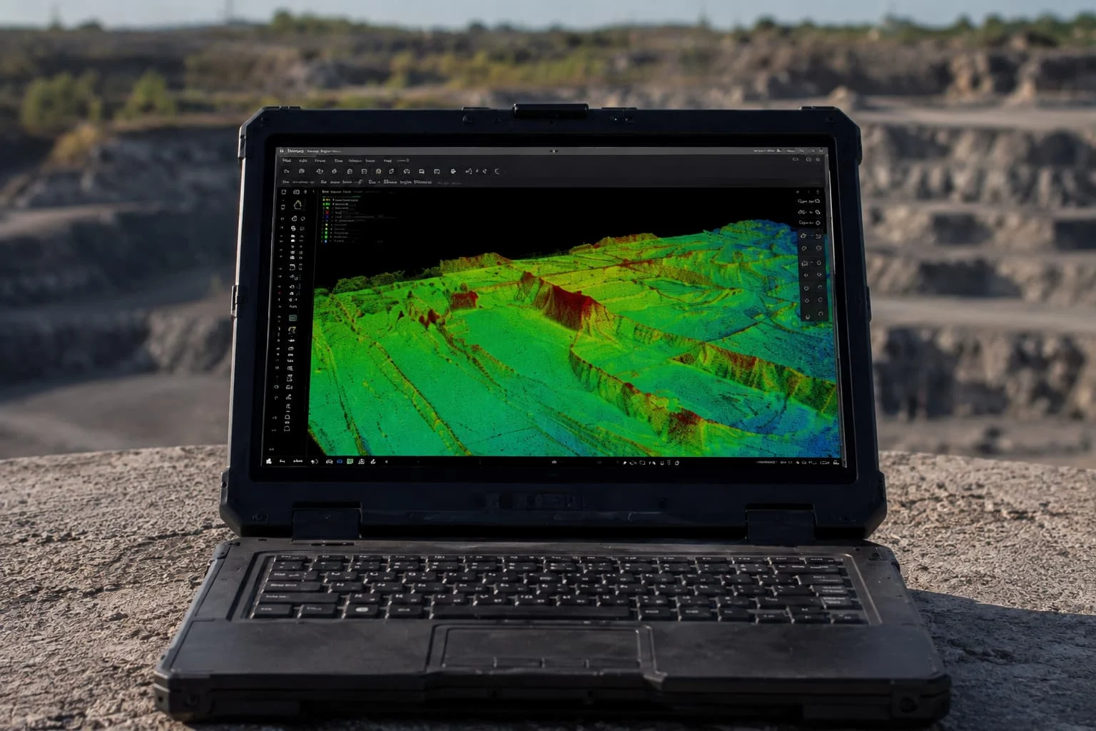 , Industrial Sector
Drone LiDAR: mapping the terrain through vegetation
Surveying and mapping have a long-standing enemy: vegetation. Trees and scrub hide the real ground and hold back any technique that only "sees" the surface. Drone LiDAR solves exactly that problem, because its laser can pass through gaps in the foliage and return the terrain underneath. In this article we explain what drone laser scanning is, how it differs from photogrammetry, and walk through a real case in which we recovered the ground beneath a dense forest for wildfire prevention, hydraulic modelling and engineering projects.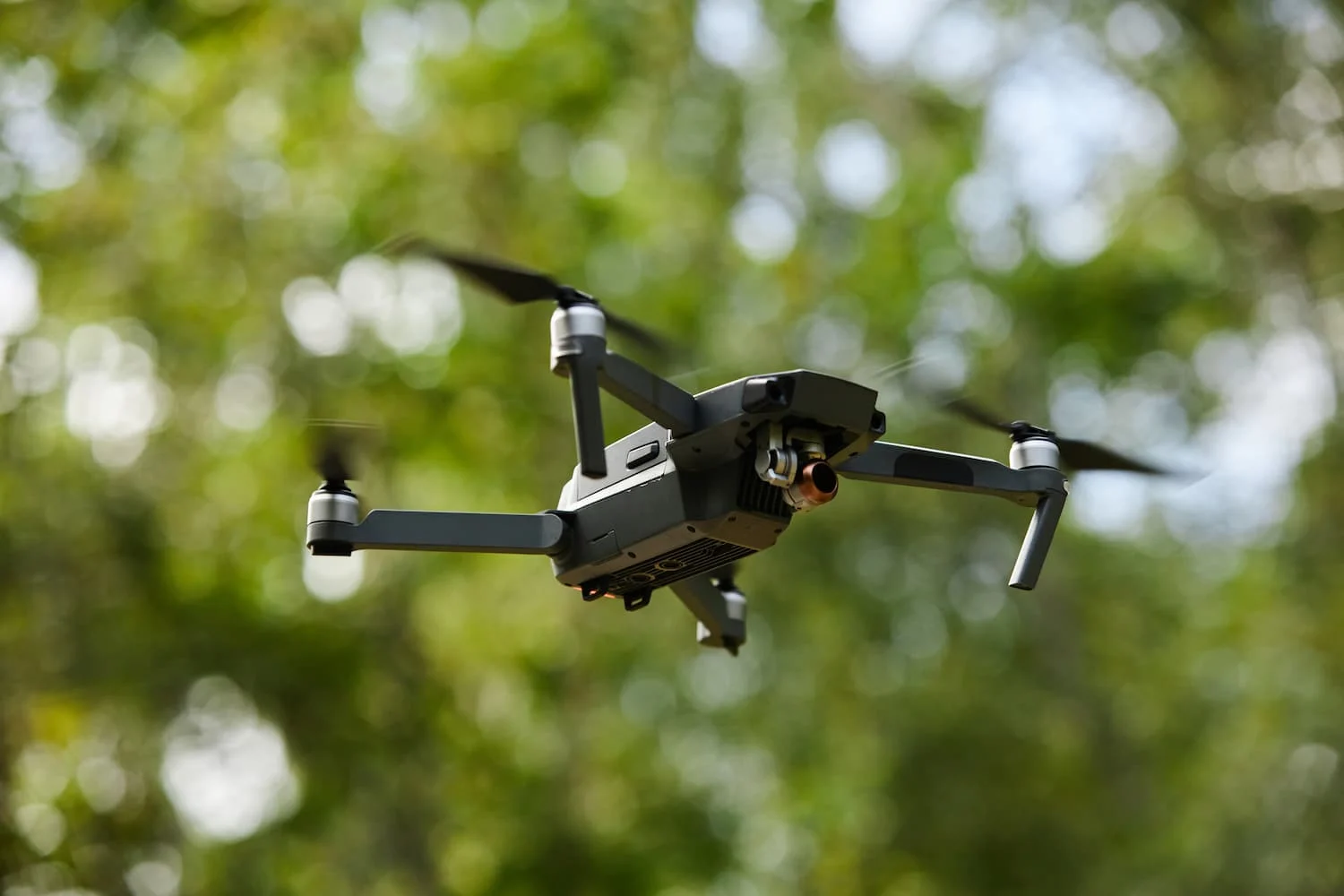 , Industrial Sector
The 8 benefits of drone mapping for cartography
Drones have transformed mapping in recent years. Work that once took days or even weeks with traditional methods can now be done in a few hours with drone mapping, a technique that combines drones, high-precision positioning systems and photogrammetry software to produce maps, orthophotos and 3D models of the terrain. , Construction Sector, Time-Lapse
Tanzania in real time: technology and construction monitoring
This time our story has taken us to Tanzania, where we have been part of a major project: installing a camera system to document and supervise the rehabilitation and expansion works at Pemba Airport, in Zanzibar, for Propav Infraestructuras, the company responsible for delivering the project.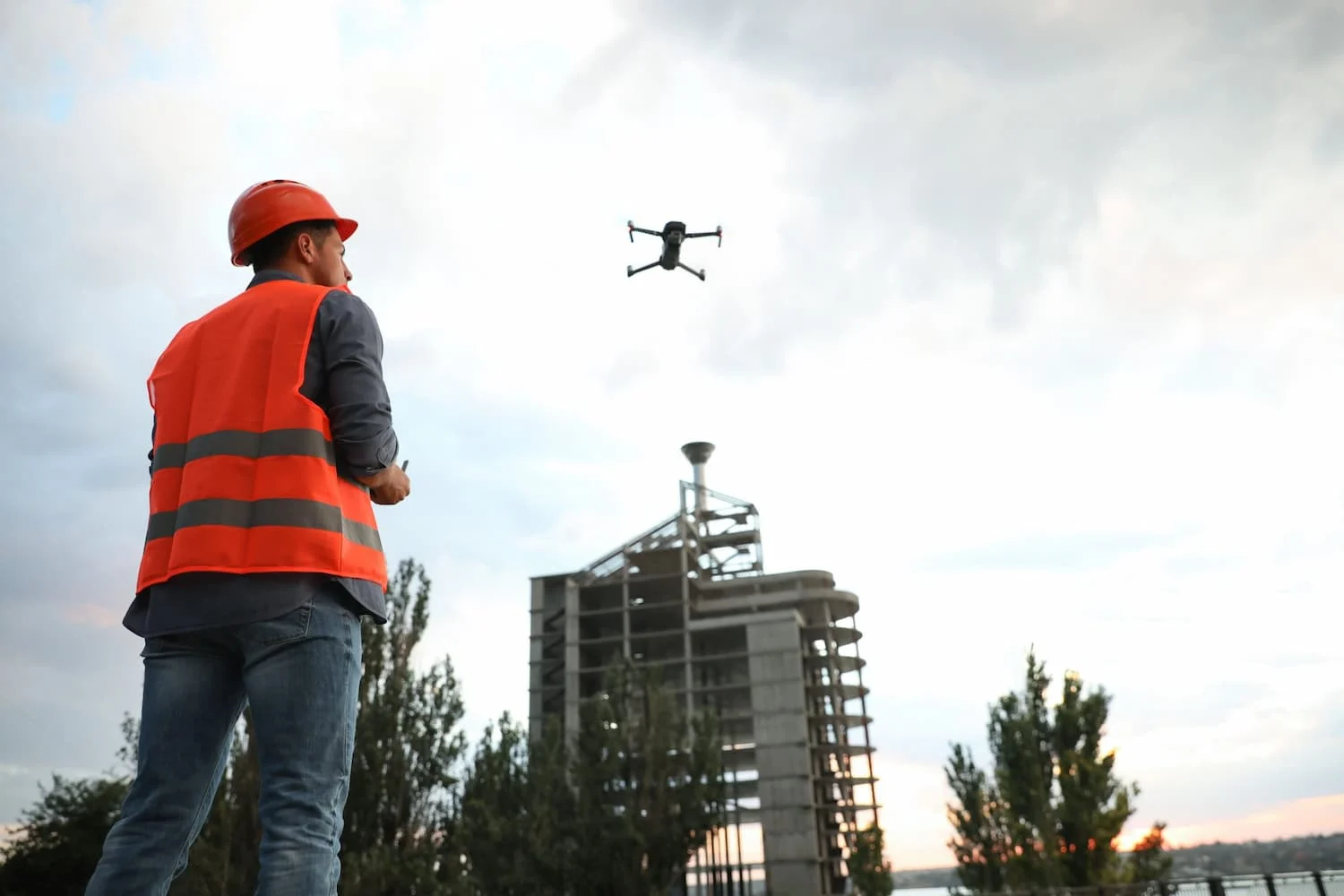 , Industrial Sector
Drones in industrial inspections: all the benefits
Industrial inspections are an essential part of infrastructure maintenance. Yet traditional methods often involve working at height, sending specialist staff on site and halting operations, all of which add cost and risk.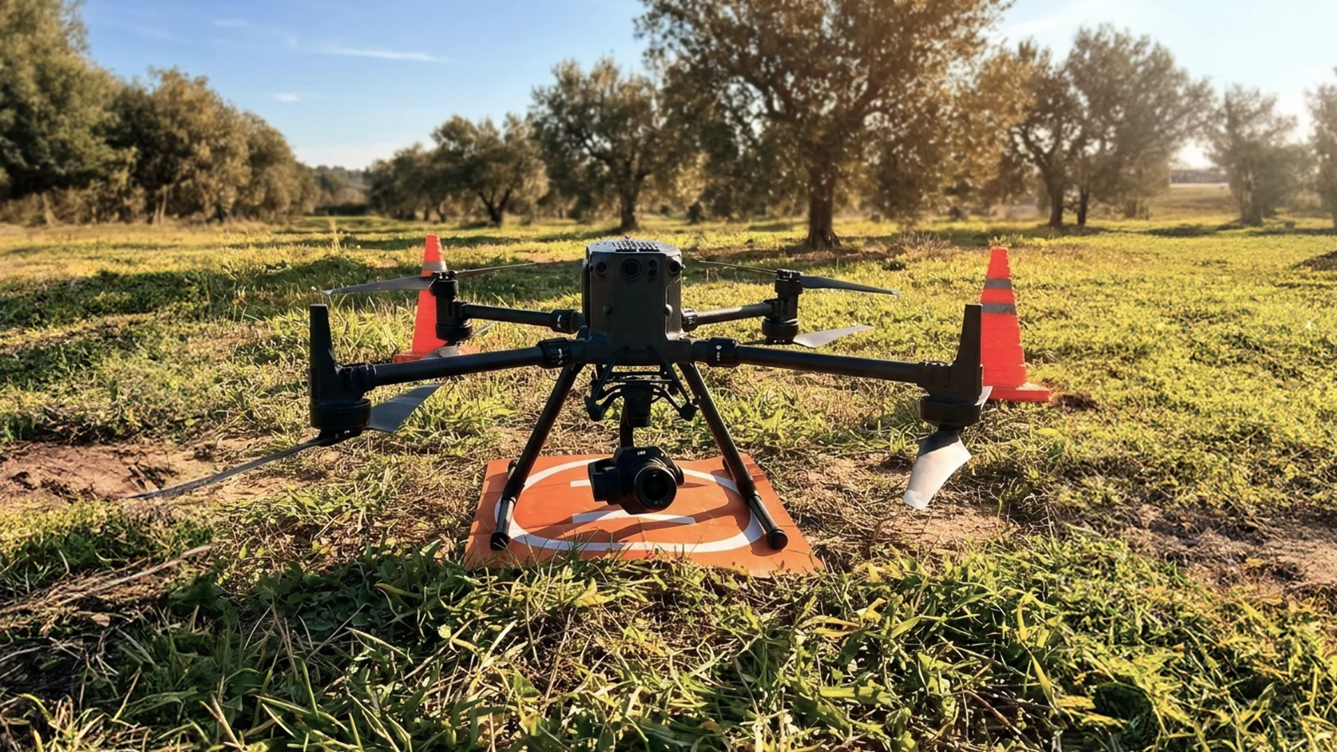
Photogrammetry for construction: how does it benefit your project?
Drone photogrammetry has become a key tool for improving accuracy, planning and site control on construction projects.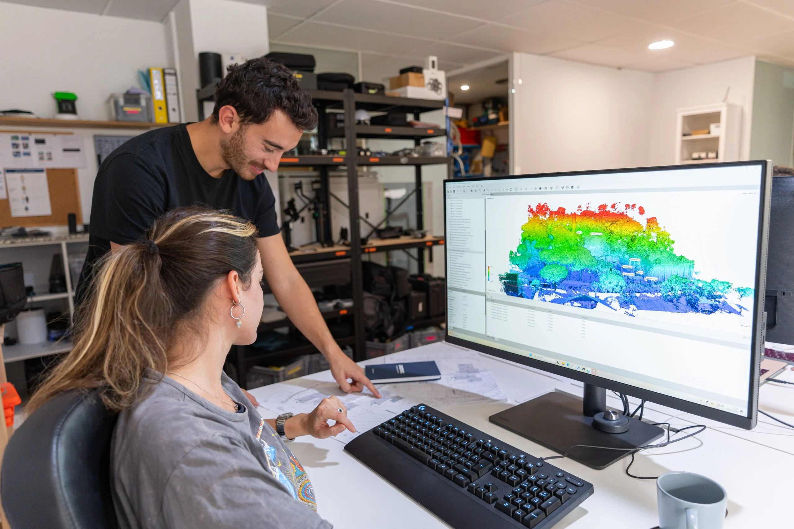 , Industrial Sector
Measuring hard-to-reach land accurately without walking it
At Droneit we regularly work with clients who need to measure plots, rural estates, farms or land earmarked for engineering and construction projects, where access is difficult or even impossible.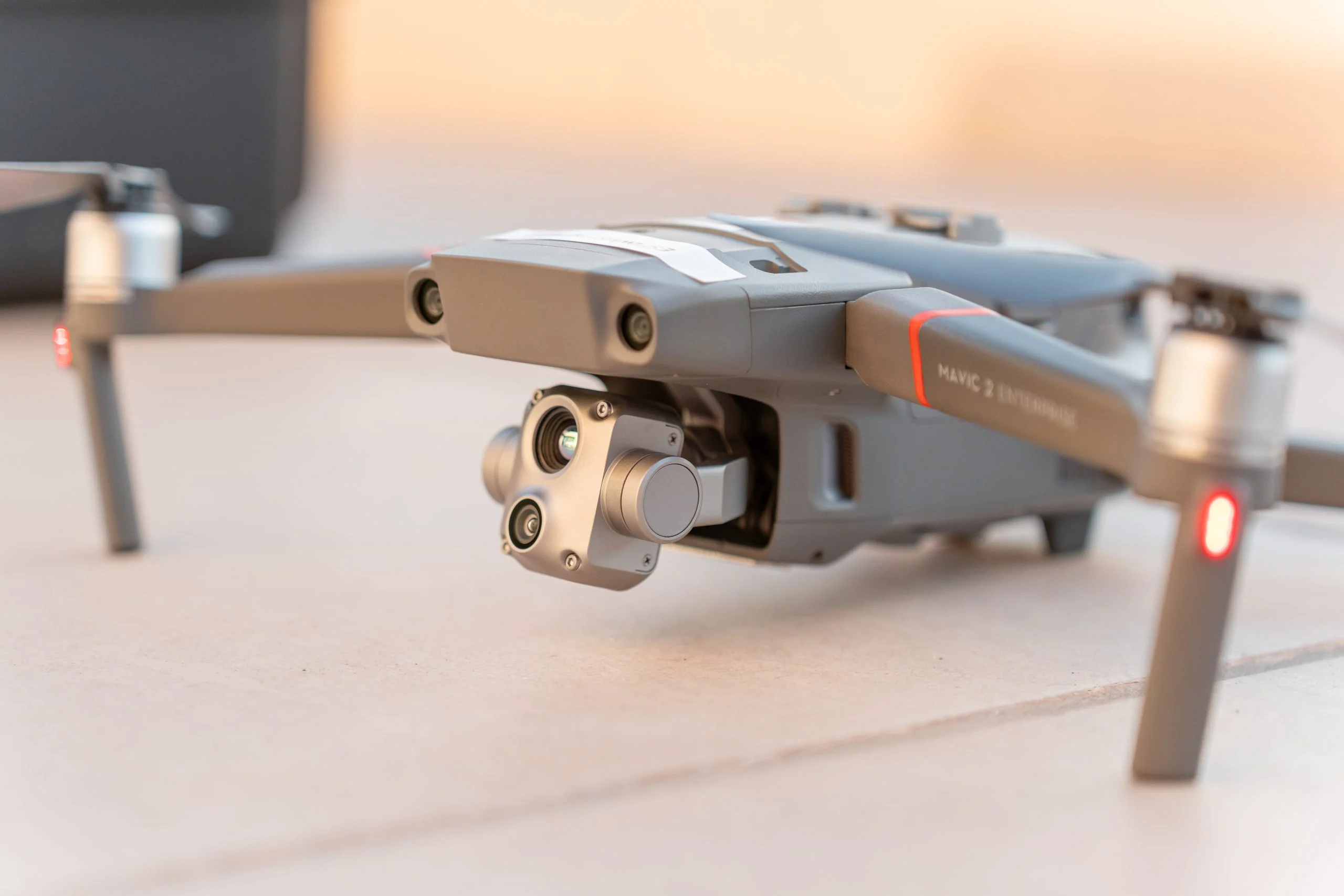 , Drones, Video Production
Drone regulations in Spain 2026: the essentials for flying legally
Flying a drone in Spain in 2026 is no longer just a hobby. It is a regulated activity across many sectors (aerial filming, agriculture, surveillance and more), integrated into European airspace and subject to clear rules. The European Union Aviation Safety Agency (EASA) has sped up the harmonisation of the rules, and Spain is bringing its system fully into line with European standards.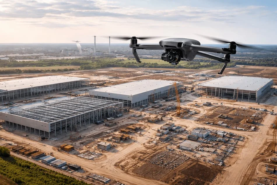 , Industrial Sector
Top 5 uses of drones in industrial project management
A few years ago, talk of drones in industry sounded like a distant innovation. Today they are an increasingly common tool in project management.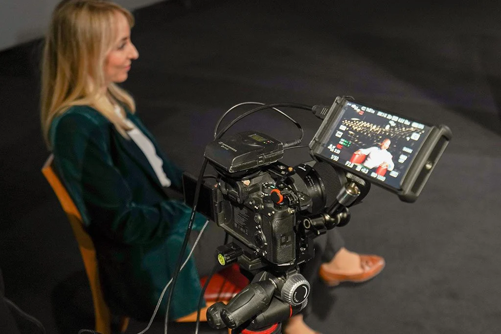 , Video Production, Corporate Sector
How a corporate video is structured: a real example analysed
Many companies know they need a corporate video but are unsure how to structure it so that it actually works. In this article we break down the structure of a real corporate video to see what parts it is made of, what each one does and how an effective message is built in under a minute.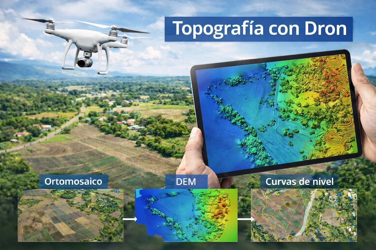 , Industrial Sector
Drone surveying deliverables: data and accuracy
When a client asks us for a drone topographic survey, as in this case, what matters is not only the flight but the deliverables they receive afterwards.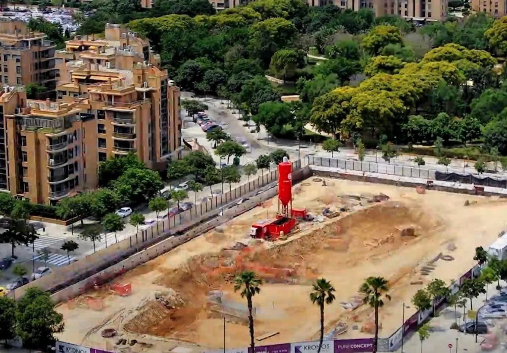 , Construction Sector, Time-Lapse
Long-term construction time-lapse: whole projects summed up in minutes
Long-term construction time-lapse is one of the most powerful tools for documenting, communicating and analysing how a construction project evolves. It condenses months or years of work into a video lasting a few seconds, giving a clear, dynamic and professional view of progress on site.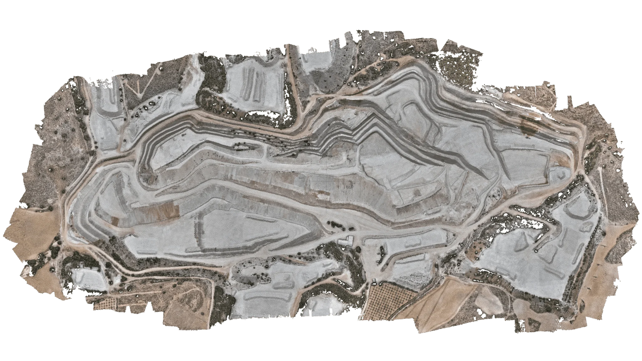 , Industrial Sector
Aerial topographic surveys: lower cost, wider reach and faster results
In recent years, drone topographic surveying has established itself as one of the most powerful tools for engineering, construction and land-planning projects.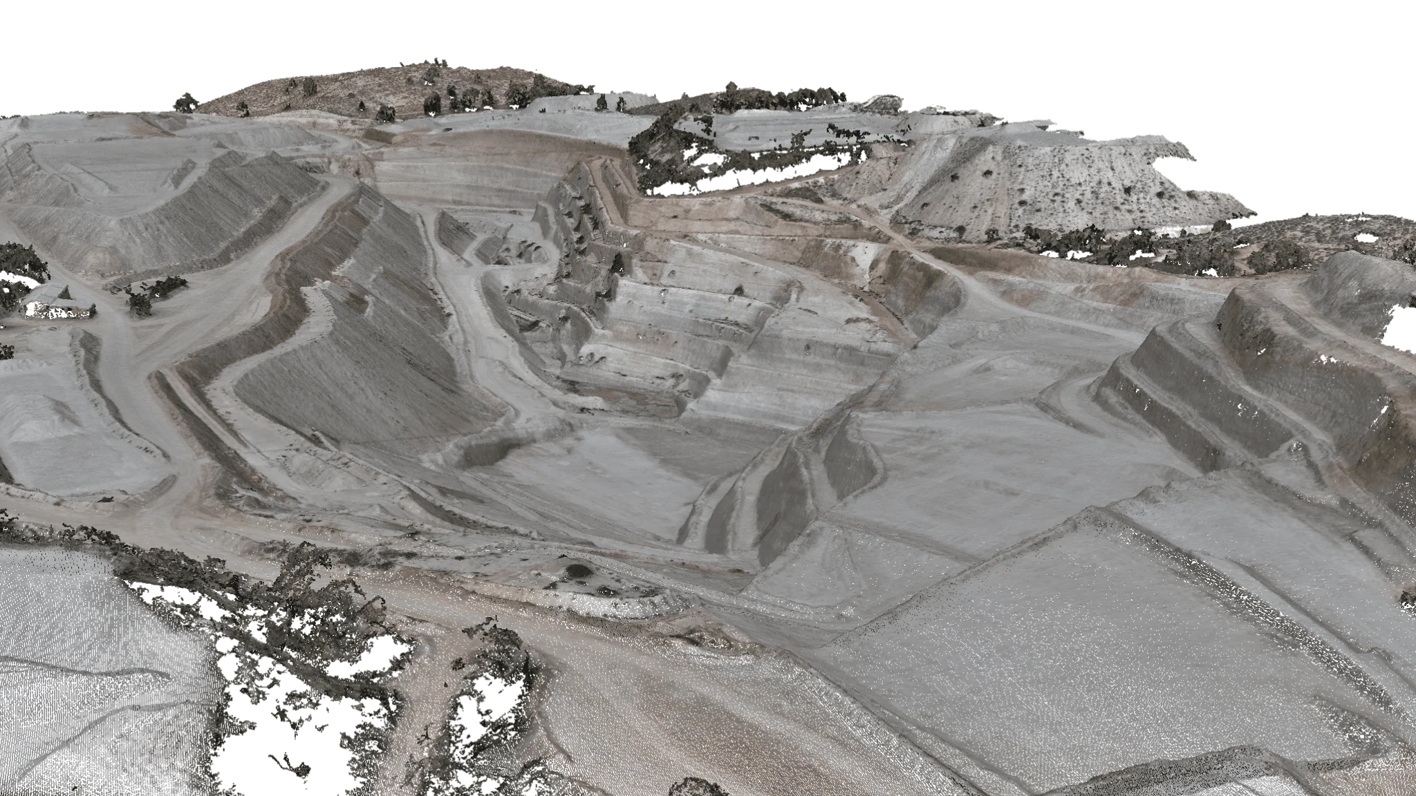 , Industrial Sector
Drone point clouds: when to use photogrammetry and when to use a LiDAR scanner
Drone-generated point clouds have become a key tool in sectors such as construction, engineering, surveying and renewable energy. They capture the condition of the terrain or a piece of infrastructure with centimetre-level accuracy, saving time and money compared with traditional methods.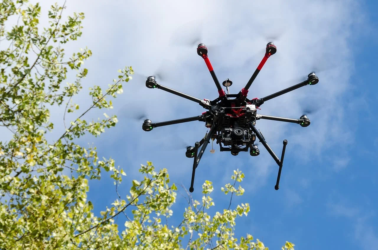 , Industrial Sector
Drone photos for mapping: technical features
Mapping has changed significantly in recent years thanks to advances in technologies such as drones. Today, drones can capture high-accuracy aerial images that are transforming the way maps, 3D models and land analyses are produced. Compared with traditional methods, drone photography offers a unique combination of resolution, accuracy and flexibility, making it an essential tool for surveyors, urban planners and environmental professionals. Below, the experts at Droneit, specialists in aerial solutions for mapping and geospatial analysis, run through the key features of these images.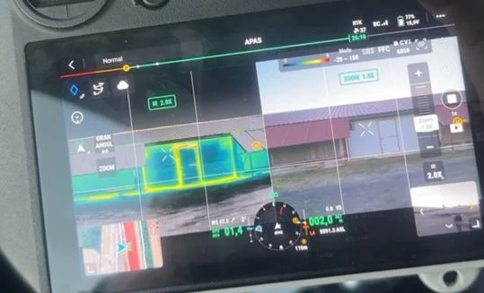 , Industrial Sector
Case study: thermal inspection of a poultry farm
One of our clients, the owner of a poultry farm raising chickens, made a significant investment to replace the roofs on two of the farm's four industrial buildings. The aim was to improve thermal efficiency and, with it, the quality of the indoor environment, which is essential for raising healthy chickens.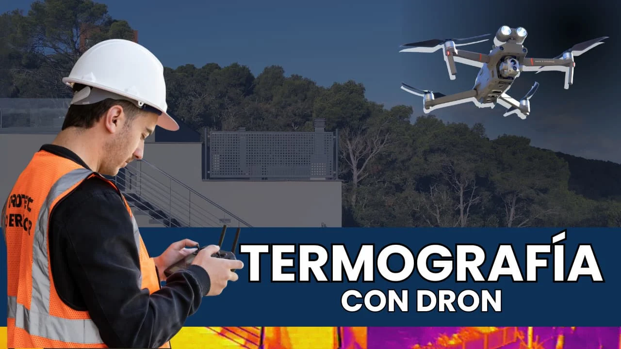 , Industrial Sector
How to detect heat loss in industrial buildings
Energy efficiency is a cornerstone of any industrial facility. In 2024, drones fitted with thermal cameras are establishing themselves as an essential tool for identifying heat loss and assessing the quality of thermal insulation in industrial buildings. This approach not only ensures better energy performance but also cuts operating costs and improves companies' sustainability.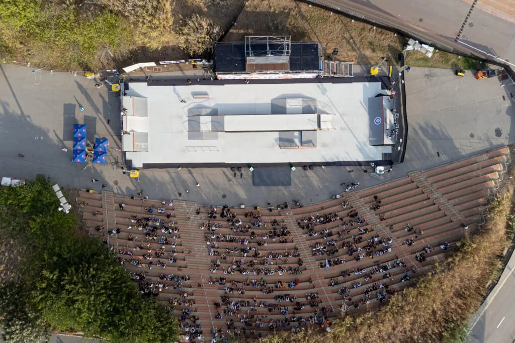 , Time-Lapse, Events
Time-lapse for events
Today, event videos shot as a time-lapse attract much more attention and reach far more people. Achieving this dynamic, eye-catching effect takes time and skilled staff. Droneit provides time-lapse and hyperlapse services, and we have experience using time-lapse to capture the build of pavilions, grandstands and stages, as well as videos during the event that combine ground shots with aerial drone footage.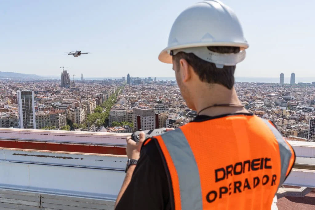 , Time-Lapse
What is the difference between a hyperlapse and a time-lapse?
Standing out with under-used techniques can be hard, especially in film and photography. Creating movement means creating an atmosphere the viewer can enjoy and feel part of. Techniques such as time-lapse and hyperlapse are a great help here.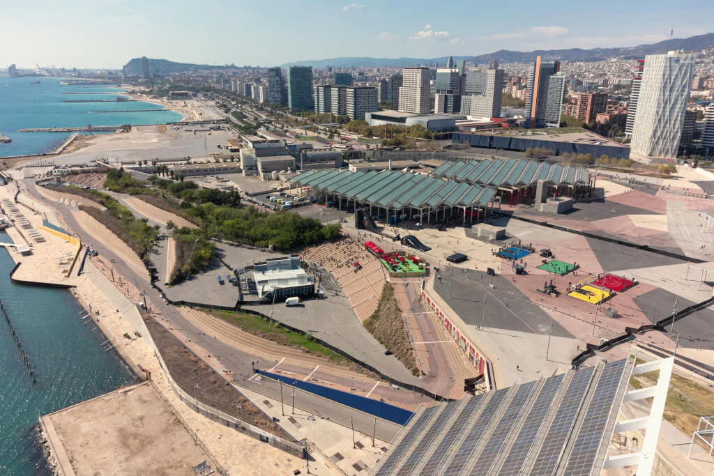 , Drones, Video Production, Events
Filming sports events with a drone
A football match, a city marathon or a surfing championship. More and more events bring together millions of spectators across all kinds of sports. Television coverage of sport and, above all, the rise of online platforms such as social media have made drone filming of sports events increasingly popular.