 VisionHub



3D Laser Scanning
Drone LiDAR to cover large areas and ground-based scanning for detailed, complex areas. Georeferenced point clouds, 3D models and Scan to BIM.
3D LiDAR service
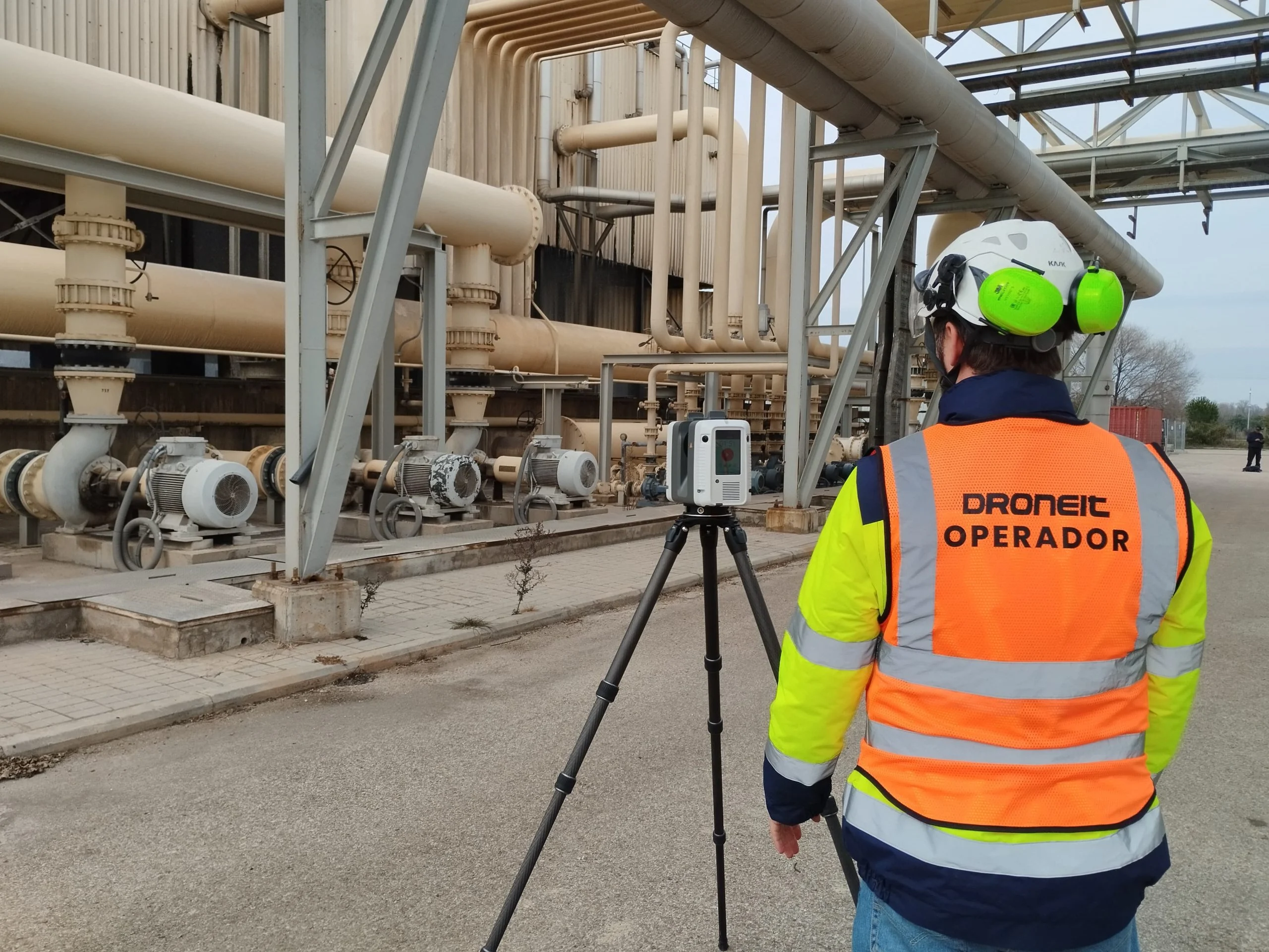
At Droneit we use advanced technologies to provide a 3D LiDAR scanning service tailored to the needs of each project. By capturing the three-dimensional geometry of objects or environments, we generate detailed, accurate digital models.
We are one of a small group of providers offering drone LiDAR scanning to cover large areas quickly and accurately, as well as ground-based scanning for more detailed and complex areas. This approach lets us take on projects across different industries, making the most of time and resources and ensuring reliable, tailored results.
- Drone LiDAR scanning
- Ground-based scanning
- Scan to BIM
Trusted by contractors, engineering firms and public institutions









Drone LiDAR Scanning
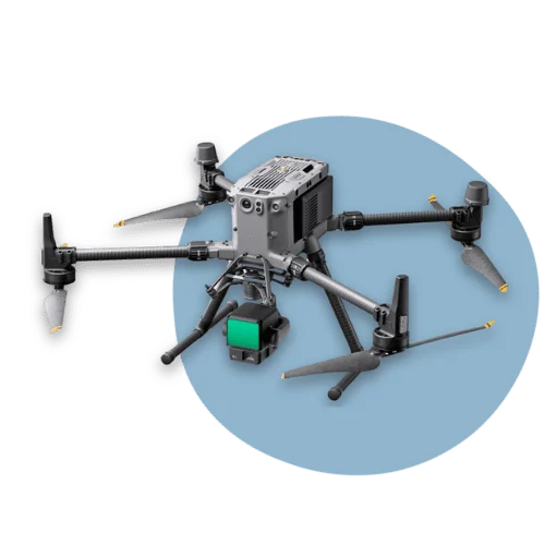
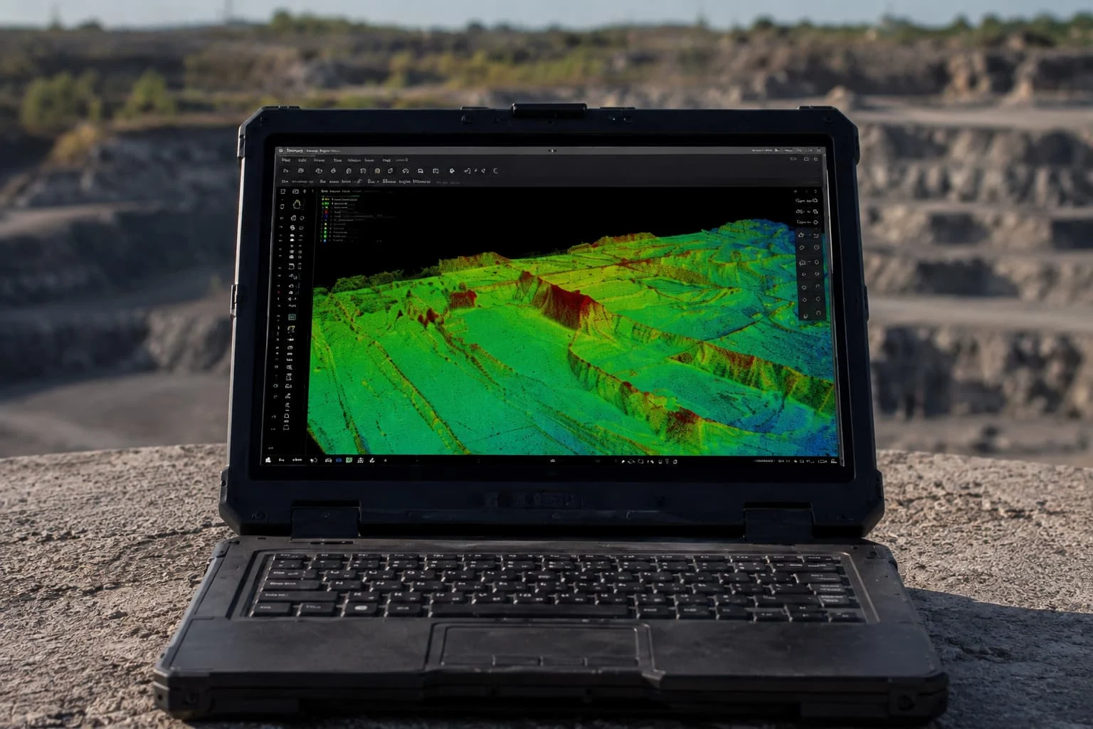
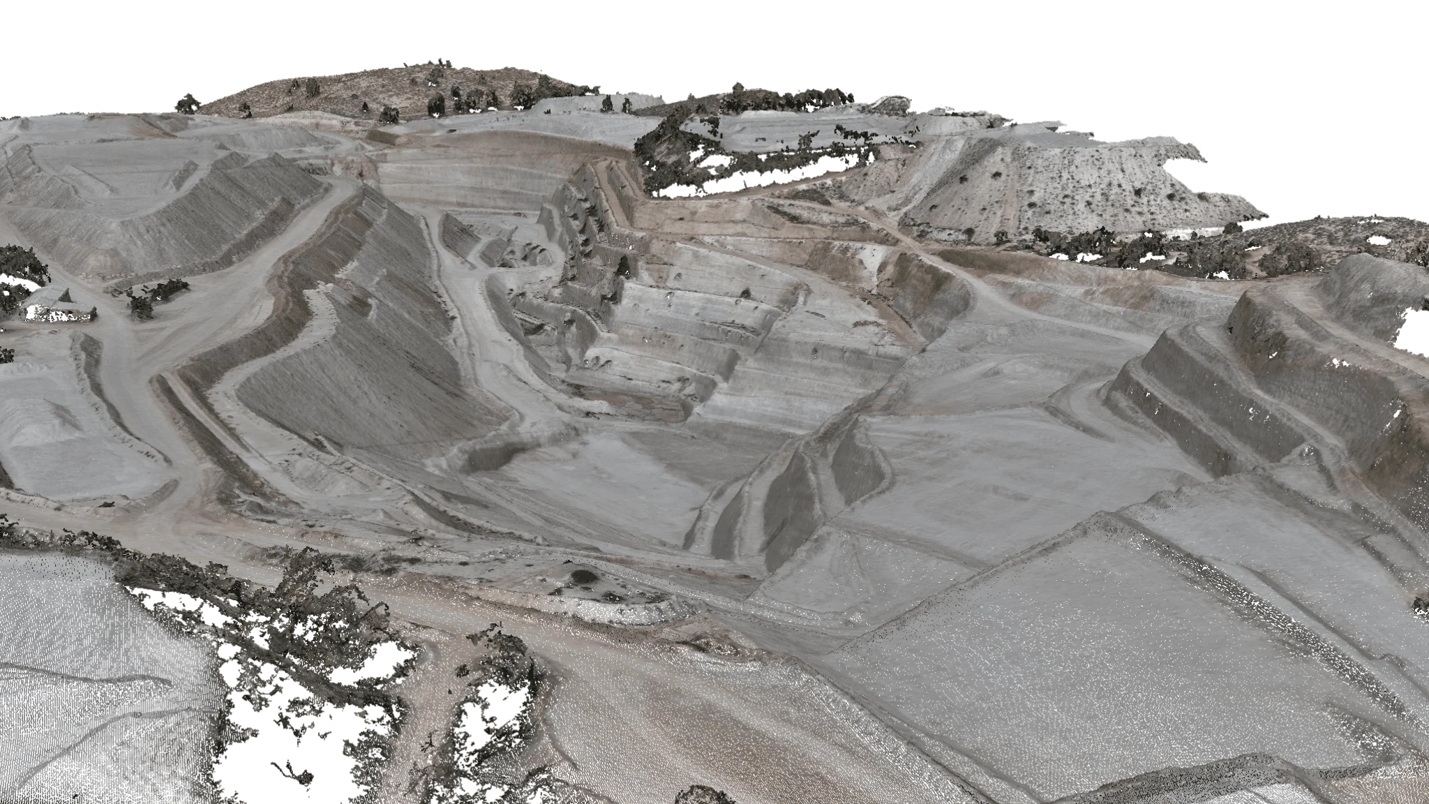
Our drone LiDAR scanning service uses advanced aerial mapping technology to capture 3D geographic data with high accuracy. With the laser system and RTK, we provide exact measurements of distance, altitude and elevation, producing detailed point clouds of the terrain. This method is ideal for drone surveying, 3D mapping and digital terrain modelling, supporting efficient planning of engineering, architecture and construction projects with high-resolution georeferenced data.
Technical specifications
- Accuracy
RTK/FIX horizontal: 1 cm + 1 ppm
Vertical: 1.5 cm + 1 ppm
RMS ±2 cm
- Coverage
Up to 100 hectares per working day, depending on the technology used, weather conditions and the number of units deployed.
- 3D model and sections
Point cloud generation for deformation analysis and the design of accurate models.
- Curved surfaces
Detailed representation of slopes and curvature.
- Sectors
- Cartography and mapping.
- Construction and urban planning.
- Precision agriculture.
- Mining.
- Infrastructure inspection.
- Forest management.
- Benefits
- Greater safety.
- Savings in time and resources.
- Vegetation filtering.
- More accurate results.
- Versatility for surveying and geospatial applications.
Ground-based LiDAR Scanning
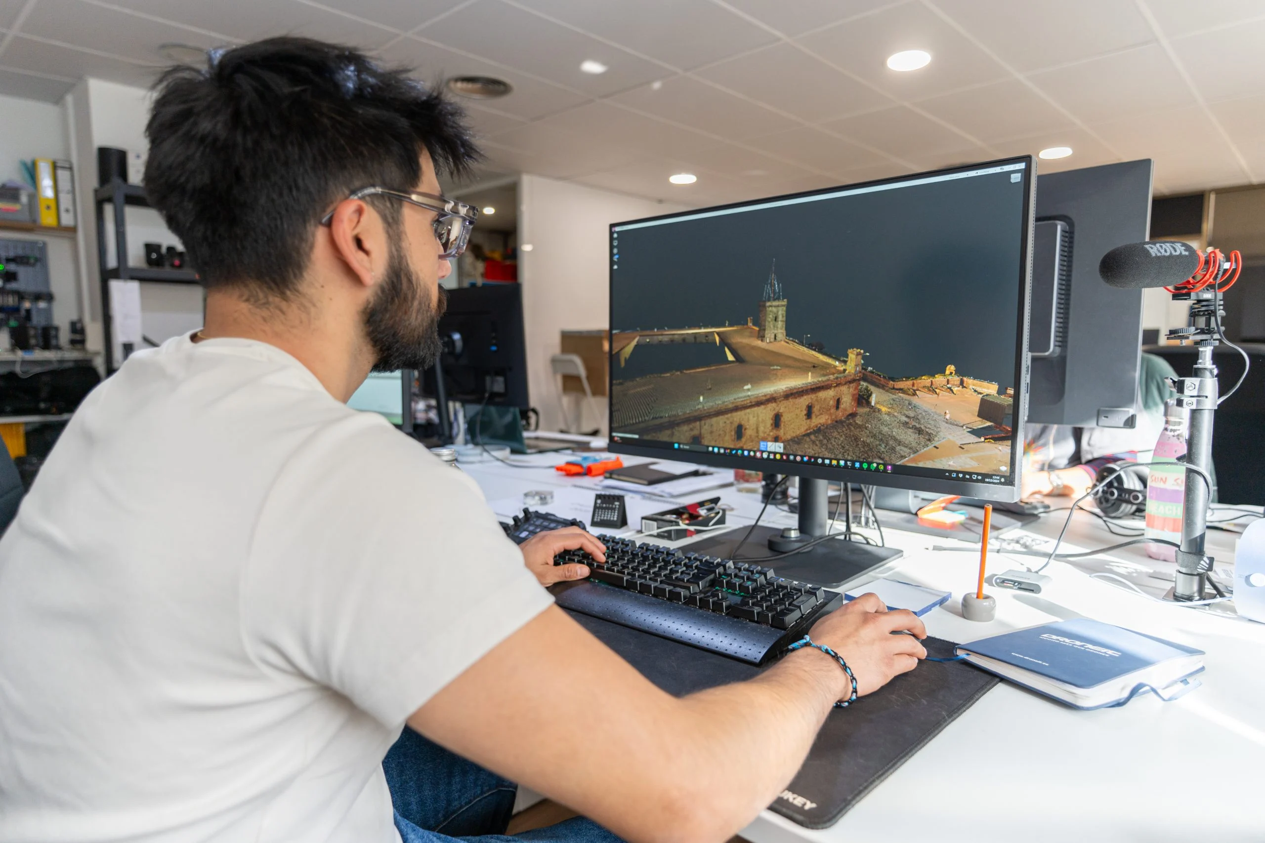
Our ground-based LiDAR scanning service uses high-precision 3D laser technology to capture 360º photographs, georeferenced data and exact coordinates, producing detailed point clouds for digital modelling. Advanced LiDAR sensors deliver an accurate 3D reconstruction, ideal for engineering, surveying and construction, ensuring exact measurements and better-optimised projects.
Technical specifications
- Accuracy
2 mm at 15–20 metres, with a range of up to 300 metres.
Angular accuracy of 18”
Range accuracy: 1.0 mm + 10 ppm
3D point accuracy: 1.9 mm @ 10 m, 2.9 mm @ 20 m, 5.3 mm @ 40 m
- Coverage
Up to 100 scan positions per working day.
- 3D model and sections
Point cloud generation to create 3D models, take measurements, analyse deformation and integrate the data into the BIM model with properties such as dimensions and material.
- Curved surfaces
Detailed representation of slopes and curvature.
- Sectors
- Cartography and Mapping
- Construction and Urban Planning
- Civil Engineering
- 3D Modelling
- Infrastructure Inspection
- Forest Management
- Benefits
- Greater safety
- Savings in time and costs
- Early detection of problems
- Greater accuracy
- Versatile applications
| Specification | By drone | Ground-based |
|---|---|---|
| Accuracy | RTK/FIX horizontal: 1 cm + 1 ppm · vertical: 1.5 cm + 1 ppm · RMS ±2 cm | 3D points: 1.9 mm at 10 m, 2.9 mm at 20 m and 5.3 mm at 40 m · range: 1.0 mm + 10 ppm |
| Performance | Up to 100 hectares per working day, depending on the technology used, weather and the number of units | Up to 100 scan positions per working day |
| Delivery formats | E57, OBJ, IFC (point clouds and BIM) | E57, OBJ, IFC (point clouds and BIM) |
| Equipment | DJI Matrice 350 RTK with Zenmuse L2 | Terrestrial 3D laser scanner |
| Turnaround | Depends on the project | Depends on the project |
3D LiDAR Service Applications and Benefits
Laser scanning captures data with millimetre accuracy, eliminating human error and ensuring an exact BIM model.
Large volumes of data can be captured in a short time, speeding up the survey process and improving project planning.
Laser scanning captures data from complex or inaccessible areas, such as high ceilings or areas with obstacles, improving project coverage.
E57, OBJ, IFC. Mapping, construction, 3D modelling, civil engineering, forest management.
Scan to BIM
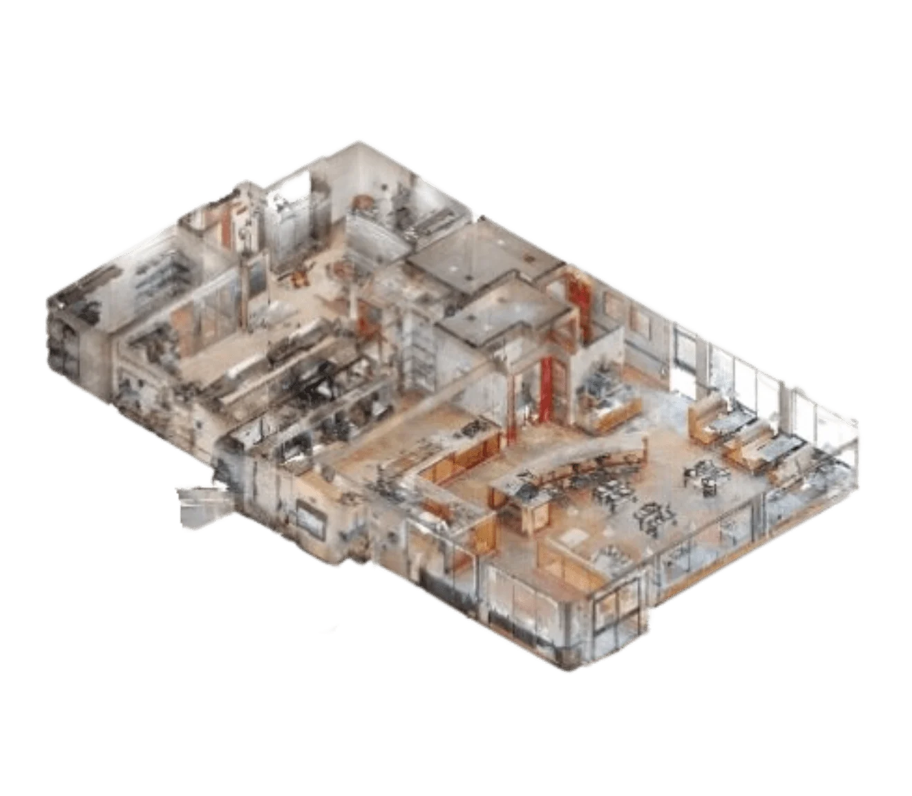
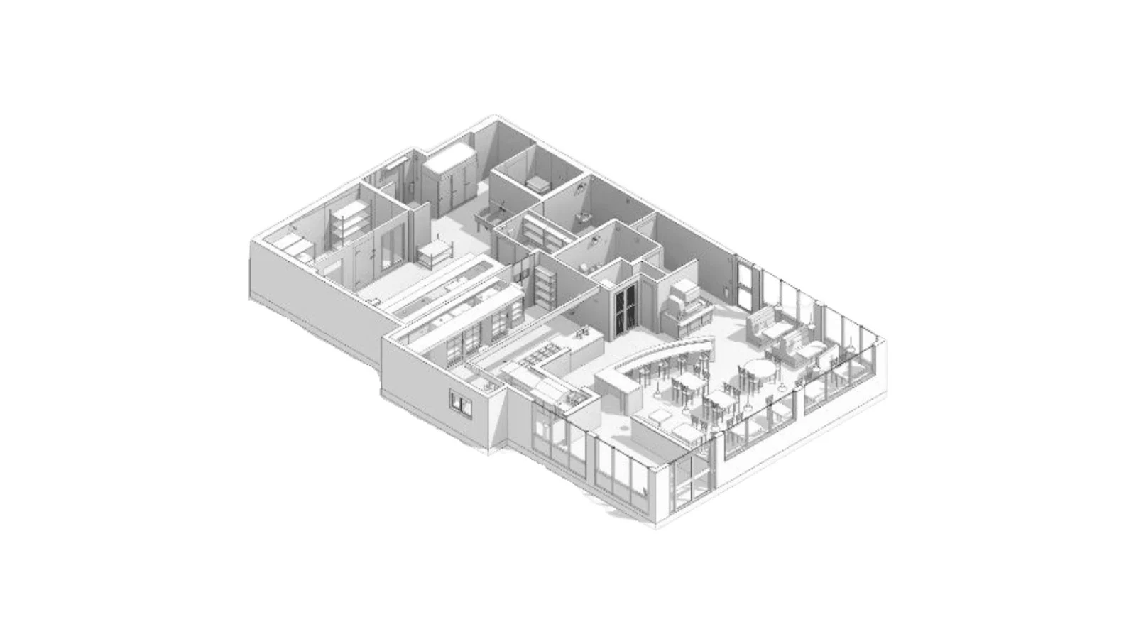
3D laser scanning with drones or terrestrial equipment captures the geometry of buildings, infrastructure and terrain with high accuracy, producing a detailed point cloud. This process is fundamental to creating a BIM (Building Information Modelling) model, making it easier to digitise existing structures with exact, georeferenced data.
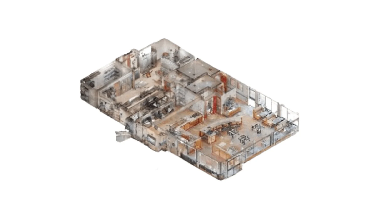
- Maximum accuracy and fewer errors, with millimetre-level data capture.
- Better project planning and management: accurate BIM models improve decision-making in architecture, engineering and construction.
- Greater efficiency and cost savings, shortening topographic survey times and minimising surprises on site.
- Integration with BIM software, ensuring compatibility with Revit, AutoCAD, ArchiCAD and other design and planning systems.
- Ideal for building refurbishment and maintenance, enabling digital twins for renovation and heritage conservation projects.
Digital twin with LiDAR and photogrammetry
A digital twin is a faithful, georeferenced 3D replica of a building, a piece of infrastructure or a site. It brings the asset's geometry, measurements and technical information together in a single model, and is updated with new captures as the asset changes.
How we create it
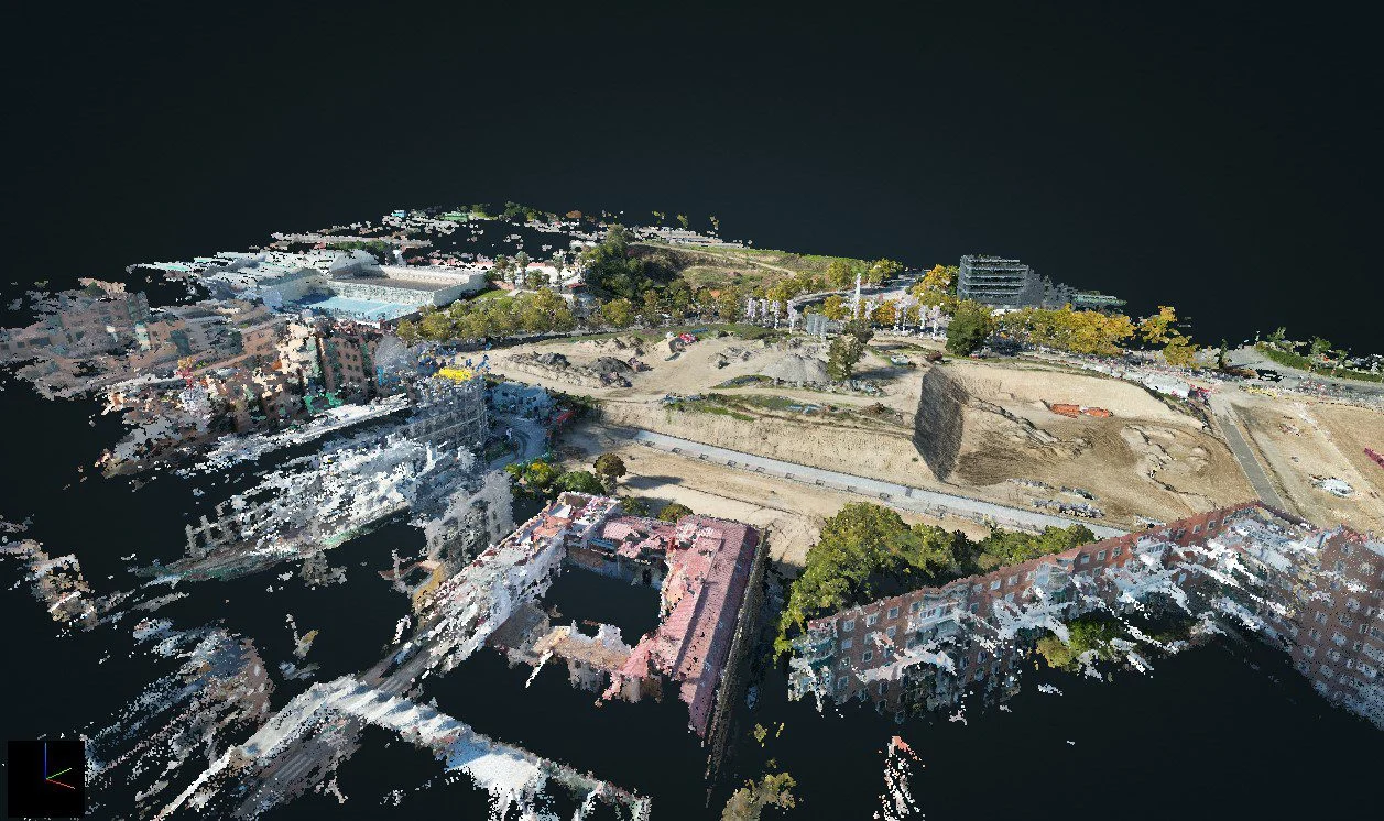
We combine LiDAR laser scanning, by drone for large areas or ground-based for interiors and details, with drone photogrammetry, which provides the real texture and colour. We register every capture into a single point cloud georeferenced with RTK and, from it, generate the 3D model or the BIM model.
Deliverables
- Point cloud (E57, LAS/LAZ)
- Textured 3D mesh (OBJ, FBX)
- BIM model (IFC, Revit)
- Orthophoto and digital terrain model (GeoTIFF)
- 2D sections and drawings (DXF/DWG)
Uses of the digital twin
Construction
Compare as-built work with the design, measure progress and volumes, and document every phase of the project with real measurements.
Industry
Digitise plants, industrial buildings and facilities to plan maintenance, extensions or the installation of machinery without relying on outdated drawings.
Heritage
Document historic buildings with millimetre accuracy before refurbishment and preserve their condition as a historical record.
How we work
Step 1: Project analysis
We study the site and decide whether to scan by drone, on the ground or with a combination of both.
Step 2: Scanning
We capture the georeferenced point cloud with aerial LiDAR or a terrestrial scanner.
Step 3: Processing
We register and clean the point cloud and generate 3D models, sections or the BIM model.
Step 4: Delivery
Outputs in E57, OBJ or IFC, ready for your design software.
Featured projects

Any questions?
If your question is not here, give us a call and we will talk you through it.
+34 675 538 886How does a 3D LiDAR scanner work?
A 3D LiDAR scanner works by emitting laser light pulses that bounce off the surface of an object or environment and are picked up by sensors. These sensors measure the time each pulse takes to return to the scanner, which makes it possible to calculate the distance between the device and the object. By scanning many points from different angles, a three-dimensional point cloud is created that accurately represents the shape and texture of the object.
What is 3D LiDAR?
3D LiDAR is a device that projects laser light pulses to scan and measure the distance of objects in three dimensions. This data is used to create accurate three-dimensional models of the scanned object or environment.
3D LiDAR is widely used in fields such as architecture, engineering, surveying and the film industry, where precise capture of the geometry and texture of objects and environments is required.
What does a 3D scanner digitise?
A 3D scanner digitises objects and environments by capturing their shape and features in three dimensions using laser light pulses. Get in touch with us and we will advise you with no obligation on how 3D LiDAR scanning could help your project.
What is a topographic scanner?
A topographic scanner is a device used to capture detailed three-dimensional terrain data. It uses laser technology to measure distances and generate three-dimensional models of the terrain, structures or any scanned object.
This type of scanner is commonly used in surveying to carry out accurate topographic surveys and obtain detailed information on the elevation, slopes and geomorphological features of a given area. The 3D LiDAR scanner is an advanced form of topographic scanner that provides greater accuracy and detail when capturing topographic data.
What are the applications of LiDAR?
LiDAR has a wide range of applications. It is used in cartography to create accurate maps of the terrain and, in construction, for surveys, site control, volume calculations and Scan to BIM. In industry it is used to digitise plants, industrial buildings and facilities and to plan their maintenance or extension. In heritage it makes it possible to document historic buildings and create digital twins before refurbishment, and in civil engineering it is used to inspect infrastructure and analyse deformation. In short, 3D LiDAR scanning is key to any project that needs exact measurements of the terrain and of structures.
Related services
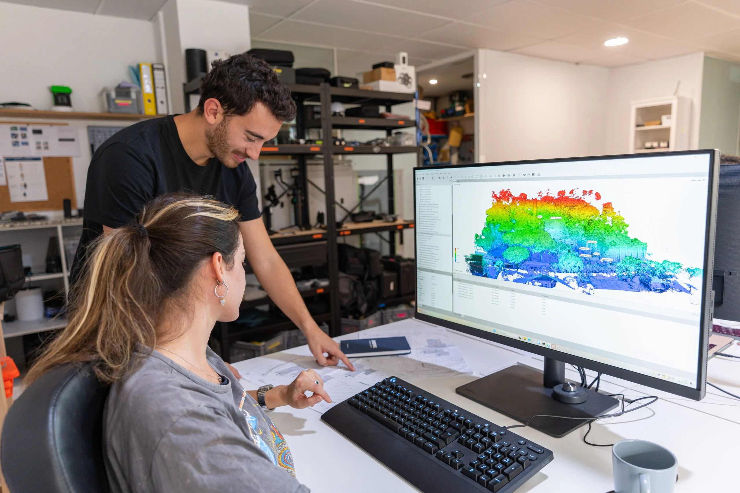
Drone infrastructure inspection
Drone inspection of infrastructure, industrial buildings, buildings, facades and more. Cut costs and reduce risks with aerial industrial inspection.
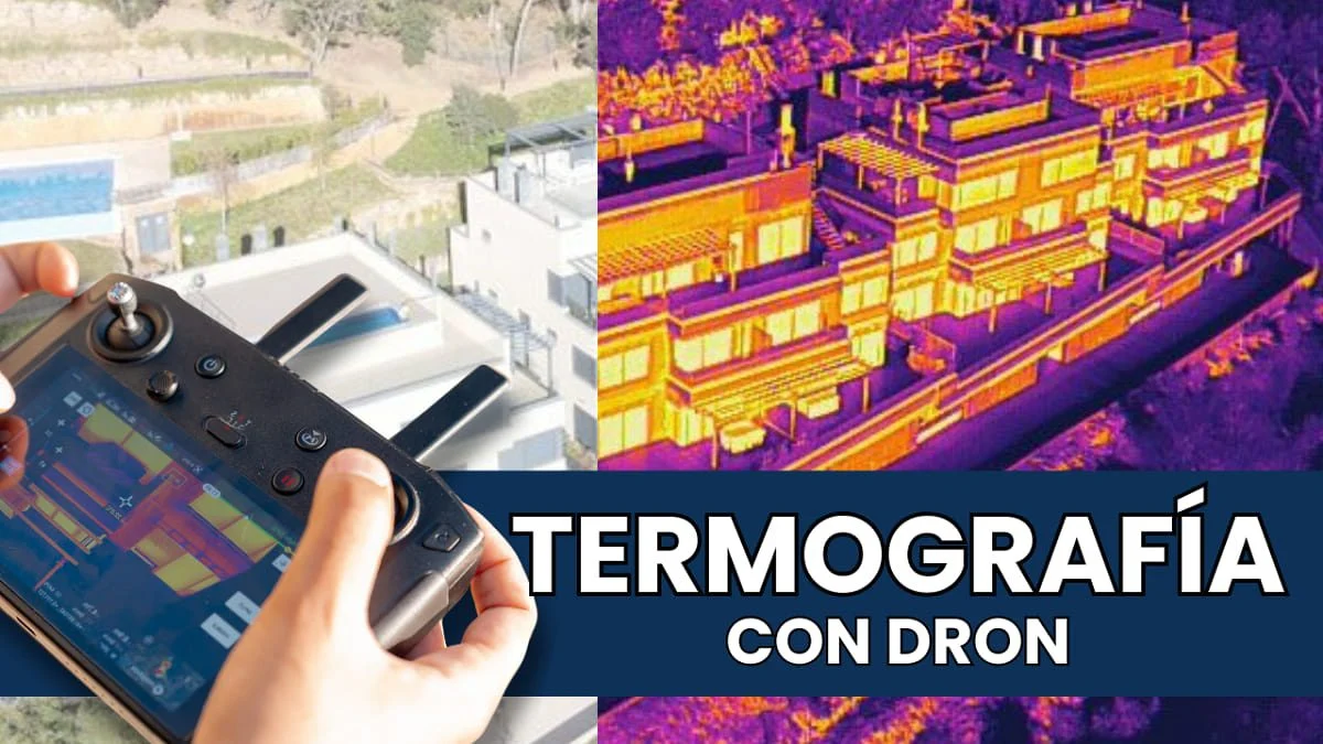
Drone thermography
Specialists in aerial drone thermography for photovoltaic and solar thermal installations, building inspections and more.
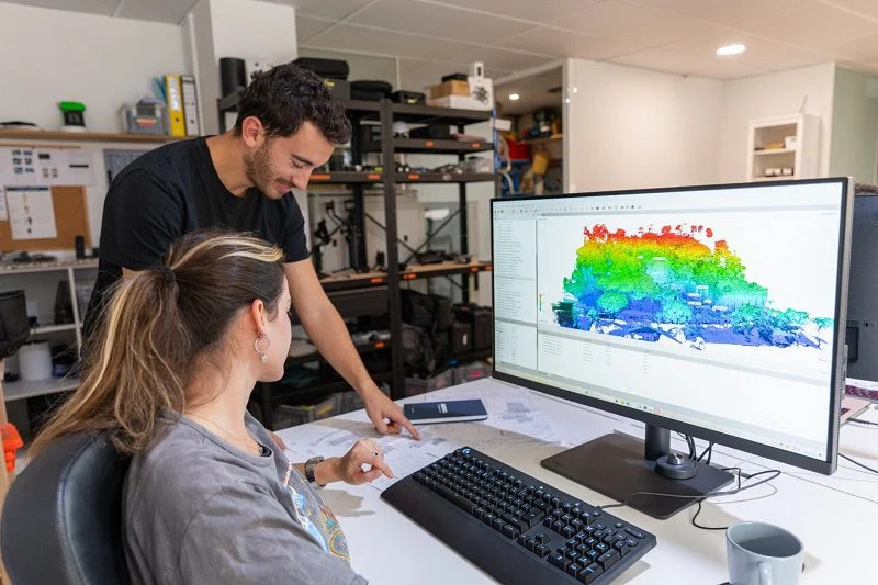
Drone photogrammetry
Drone photogrammetry, or aerial photogrammetry, is an essential tool for creating accurate, high-resolution 3D models.
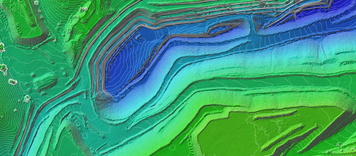
Drone surveying
Discover the full technical specifications of our aerial surveying service, along with deliverables, equipment used and benefits.
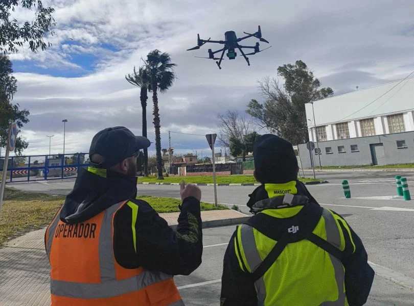
Drone mapping
Cartography focuses on representing, visualising and analysing the land, ideal for studies, planning, environmental work or documentation.
Further reading
Drone point clouds: when to use photogrammetry and when to use LiDAR scanning?
Drone LiDAR: mapping terrain through vegetation
Drones in Engineering
Top 5 uses of drones in industrial project management
Marking control points on digital elevation maps
Aerial topographic surveys: lower cost, greater reach and speed
Request information
We reply with a proposal, crew and schedule. We work all over Spain from our three offices.