 VisionHub



Drone Infrastructure Inspection
Bridges, power lines, buildings and wind farms inspected from the air, with optical zoom and live video for your team.
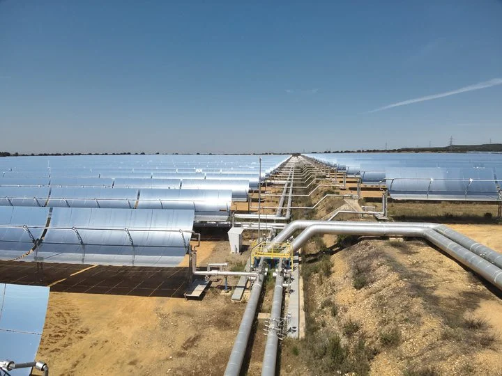
Technical drone inspection
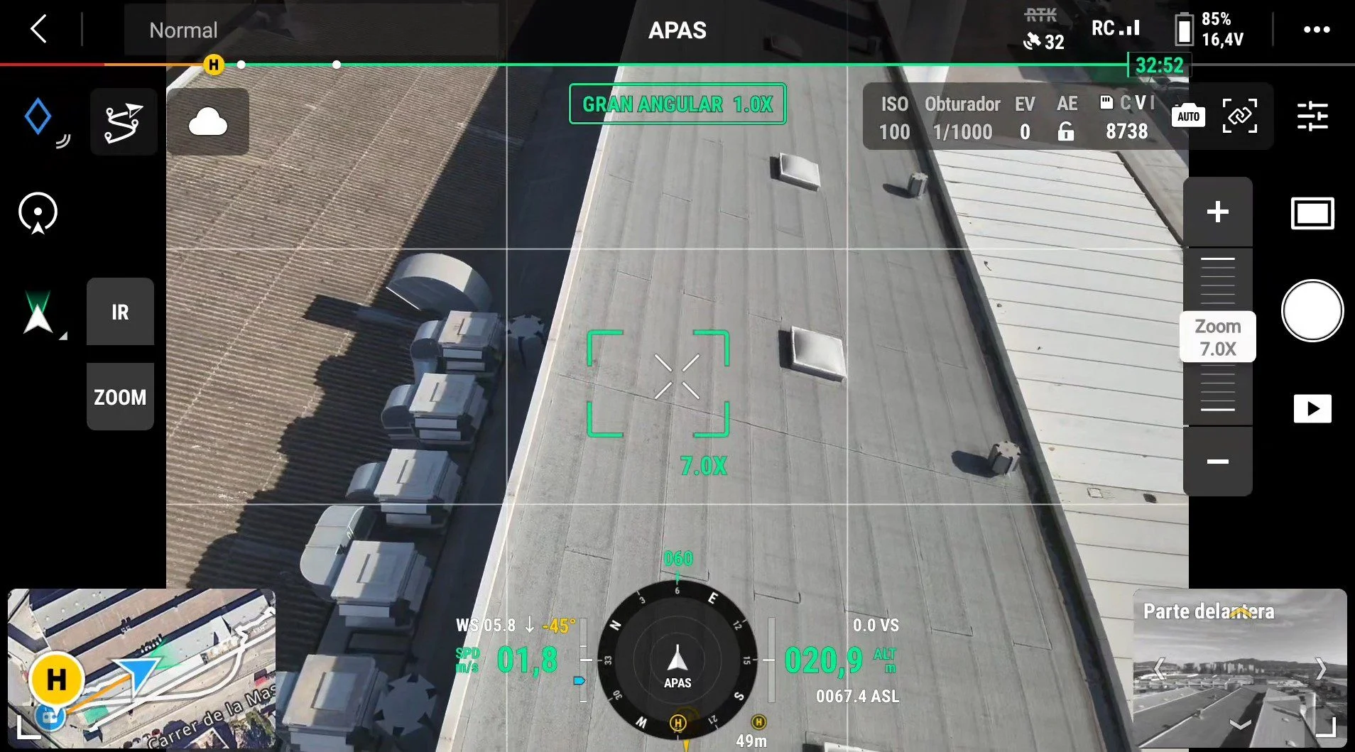
Droneit offers a professional technical drone inspection service for infrastructure, using advanced technology to capture high-resolution images and video. With our extended-zoom cameras and specialised sensors, we carry out accurate assessments of bridges, power transmission lines, buildings, wind farms and other key assets.
This method allows you to:
- Reduce occupational risks when inspecting hard-to-reach areas.
- Save costs and time, making the most of resources and results.
- Detect defects early, such as cracks, corrosion or structural problems.
Trusted by contractors, engineering firms and public institutions









Technical specifications
High-resolution and wide-angle cameras
- 4K Ultra HD imagery for clear, detailed viewing.
- Photography up to 20 MP to capture complex areas with maximum precision.
- 180° field of view for complete coverage of the infrastructure.
Advanced optical and digital zoom
- 30x optical zoom for precise detail at long distances without loss of quality.
- 120x digital zoom, ideal for specific hard-to-reach points.
Real-time video capture
4K video with live streaming for instant review by the ground team.
Accessible, safe inspection
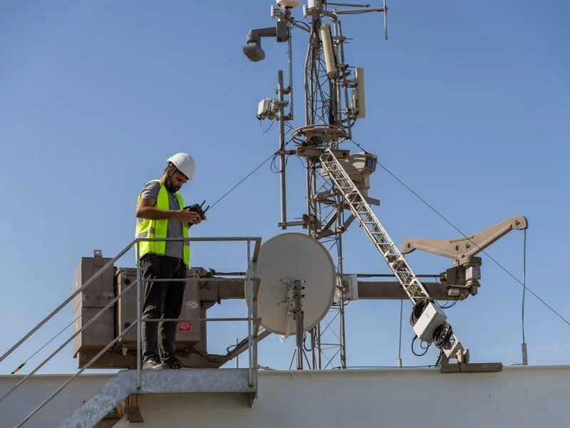
- Access to elevated areas such as towers, bridges or roofs without cranes or scaffolding.
- Significant reduction in occupational risks.
Post-inspection analysis
- Detailed processing of images and video to identify cracks, corrosion and other defects.
- Technical reports with the exact location of the problems detected.


Deliverables
Technical reports
with detailed analysis.
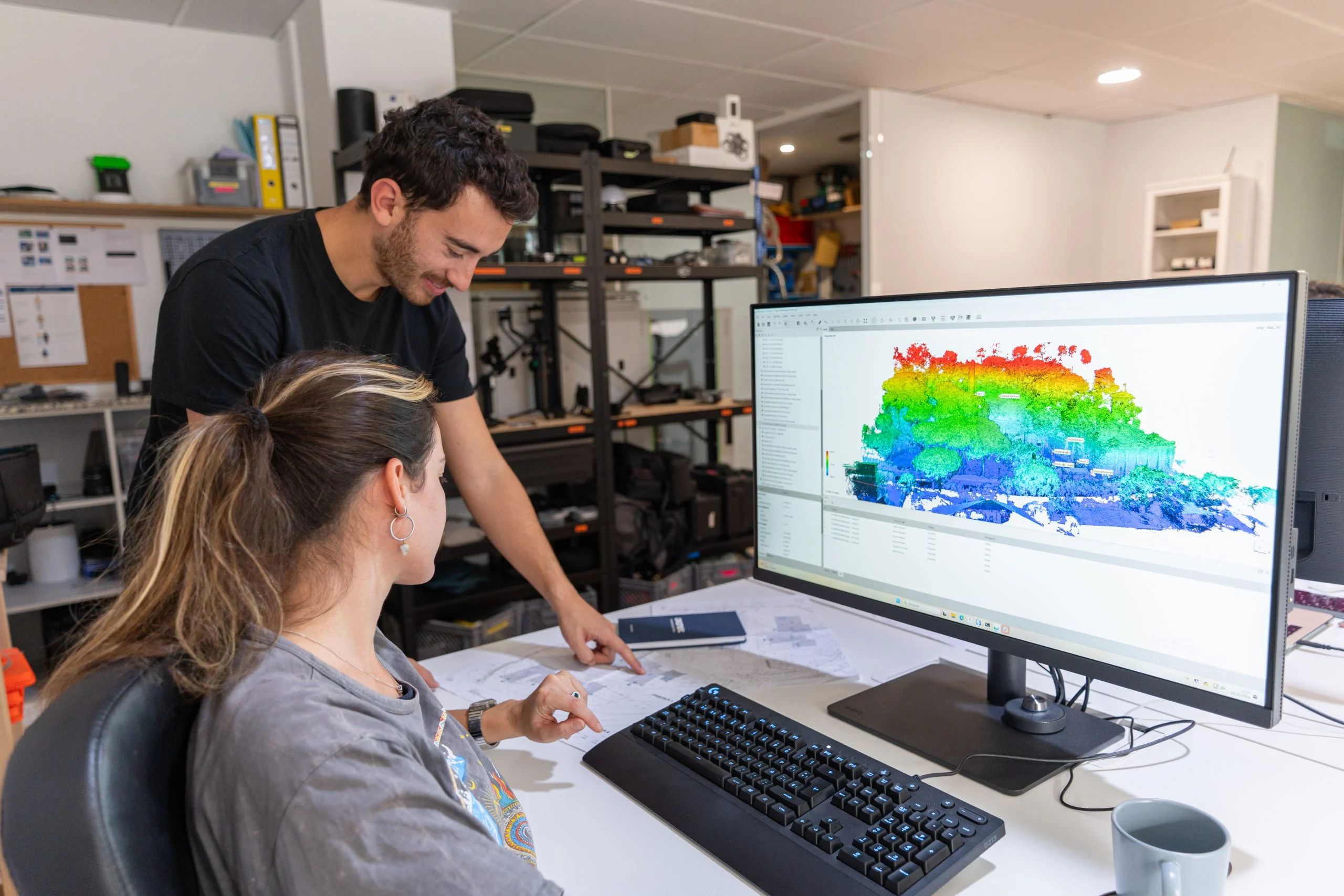
Georeferenced maps
ready to integrate into GIS.
Raw files
for further post-processing work.
Service Applications and Benefits
Get instant access to the images and video captured during the inspection.
Minimises the use of heavy equipment and work at height, while also saving costs.
We inspect hard-to-reach areas remotely and safely.
Up to 50 minutes of continuous flight thanks to a long-life battery.
How we work
We inspect without cranes or scaffolding and without stopping the infrastructure's operation.
Step 1: Planning
We study the infrastructure, access points and flight permits for the area.
Step 2: Inspection flight
We capture 4K photo and video with zoom, streamed live to the ground team.
Step 3: Analysis
We process images and video to identify cracks, corrosion and other defects.
Step 4: Report
We deliver the technical report with the exact location of each problem.
Any questions?
If your question is not here, call us and we will talk it through with your infrastructure in front of us.
+34 930 230 964What is drone infrastructure inspection?
Drone infrastructure inspection is a technique that uses unmanned aircraft equipped with cameras and specialised sensors to assess the condition, integrity and performance of a range of structures and facilities, such as buildings, bridges, towers, power lines and more.
What are the advantages of drone infrastructure inspection?
The advantages include safer access to hard-to-reach areas, faster infrastructure inspections, less downtime, early detection of problems, accurate data and a detailed overall view of the infrastructure.
What do your technical drone inspections include?
Our technical drone inspections include flight and permit planning, 4K photo and video capture with 30x optical zoom (plus thermography when the asset requires it), live streaming to the ground team and subsequent analysis of the images.
We deliver a technical report with the exact location of each defect, GIS-ready georeferenced maps and the raw files. We fly with drone pilots certified by AESA (Spain's State Aviation Safety Agency), without cranes or scaffolding.
What types of infrastructure can be inspected with drones?
Our drones can be used to inspect a wide variety of infrastructure, such as buildings, bridges, communication towers, power transmission lines, wind farms, industrial facilities, power plants and more.
How are wind turbines inspected with drones, and what are the advantages over traditional methods?
Drone wind turbine inspection makes it possible to analyse the condition of wind farms quickly and safely, especially the turbine blades, the nacelle and the tower. Using drones equipped with high-resolution cameras, optical sensors and, in some cases, thermography, it is possible to detect cracks, erosion, delamination, structural damage or wear on the blades without shutting down the installation for long periods or using aerial work platforms or rope access.
This type of technical drone inspection significantly reduces maintenance costs, improves worker safety and provides detailed images and data for predictive maintenance. It also makes it easier to produce accurate technical reports that help optimise wind turbine operation and maintenance (O&M) and extend the service life of wind turbines.
With aerial drone inspection, energy companies can carry out more frequent and efficient checks on their wind infrastructure, detecting problems before they turn into serious failures.
What kind of data is collected during a drone infrastructure inspection?
During a drone inspection, we collect visual and thermographic images, as well as positioning and altitude data. This data is used to assess the condition of the infrastructure, identify problems and make informed maintenance decisions.
Is thermographic drone inspection safe?
Yes, drone inspection is safer than traditional methods because it reduces the need for workers to be exposed to hazardous or hard-to-reach environments. Our drones are also equipped with advanced safety systems.
Can an aerial thermographic inspection of a high-voltage line be carried out?
Yes. We carry out thermographic drone inspections of overhead high-voltage lines, including 220 kV infrastructure, as part of preventive and corrective maintenance programmes.
We have certified drones, high-precision thermal cameras and drone pilots specialised in industrial and electrical environments, which allows us to inspect the line safely, quickly and without power outages.
How are chimneys inspected with drones, and what kind of damage can be detected?
Drone chimney inspection makes it possible to analyse the structural condition of industrial chimneys safely and in detail, without scaffolding and without working at height or in confined spaces. Using drones equipped with high-resolution cameras, optical zoom and thermal sensors, both the exterior and the interior of the chimney can be checked, identifying structural problems or anomalies in the installation.
The inspection can detect cracks, corrosion, material wear, deformation, heat leaks or insulation failures, as well as other structural damage that may affect the operation of the infrastructure. Capturing detailed images and thermographic data also makes it possible to produce accurate technical reports to assess the condition of the installation and plan maintenance work.
Why use drones to inspect concrete structures?
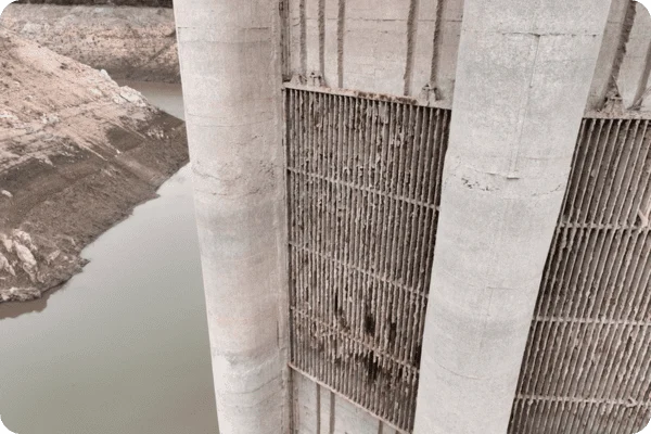
Drone inspection of concrete structures makes it possible to check structural elements such as bridges, buildings, dams or industrial structures quickly and without installing scaffolding or aerial work platforms. With high-resolution cameras and zoom systems, drones capture highly detailed images for analysing the condition of concrete surfaces and detecting cracks, spalling, rust stains, damp or deterioration of the concrete cover. This technology makes elevated or hard-to-reach areas accessible, reduces risks for workers and provides accurate visual documentation that helps assess structural condition and plan maintenance or repair work.
Related services
Drone thermography
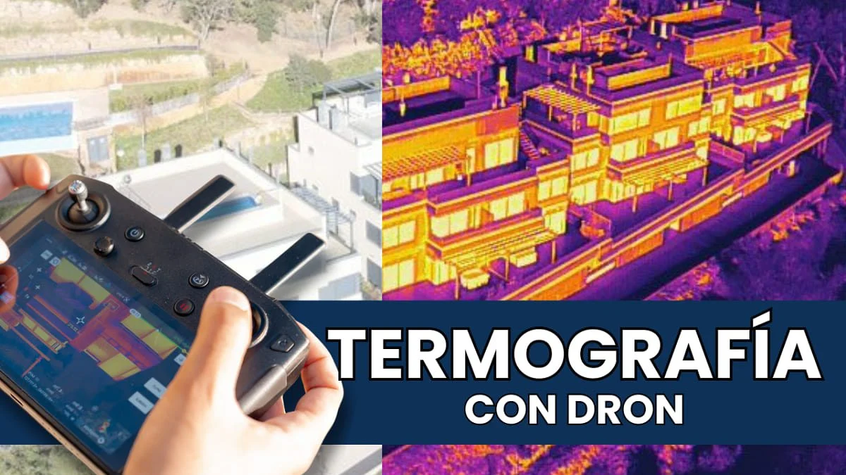
Specialists in aerial drone thermography for photovoltaic and solar thermal installations, building inspections and more.
Drone photogrammetry
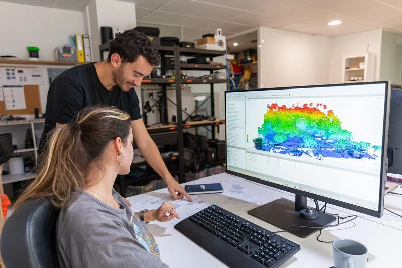
Drone photogrammetry, or aerial photogrammetry, is an essential tool for creating accurate, high-resolution 3D models.
3D Laser Scanning
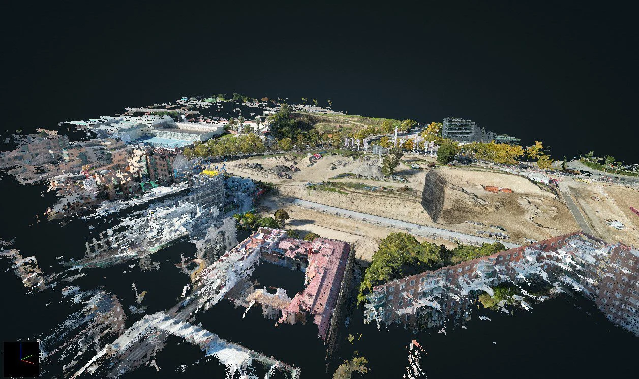
Discover the technical specifications, deliverables and features of our 3D LiDAR laser scanning service, by drone or on the ground.
Drone services
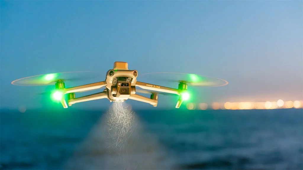
Drone operator company. Aerial filming services. Technical inspections. Topographic surveys.
Request information
We reply with a proposal, crew and schedule. We work all over Spain from our three offices.