 VisionHub



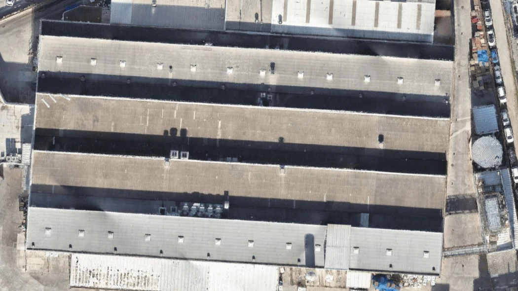
Aerial orthophotography
Georeferenced orthomosaics at up to 1 cm/pixel, without distortion, using RTK and ground control points. Delivered as GeoTIFF, JPG or PNG, with elevation models and KML/KMZ maps.
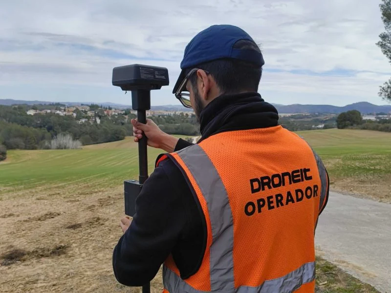
Drone orthophotography
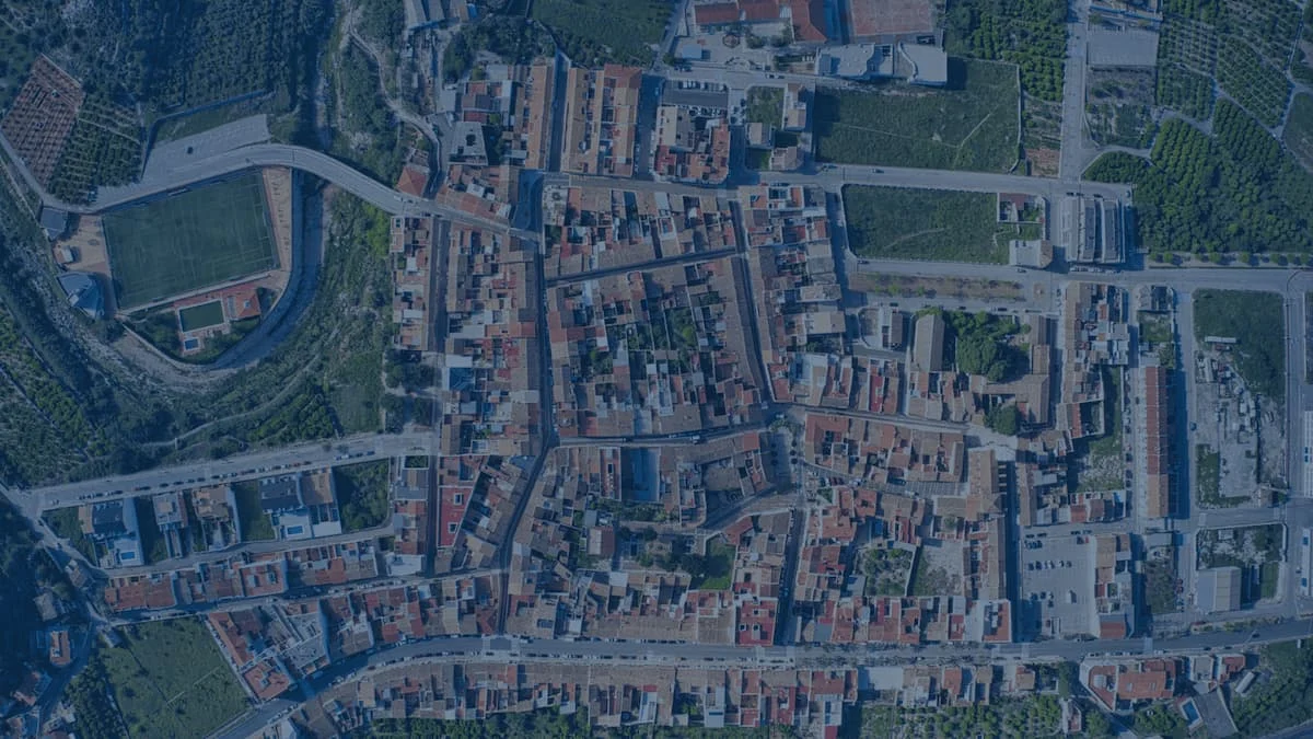
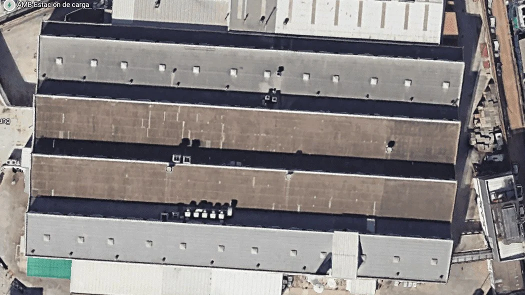
Aerial drone orthophotography is an advanced technology in mapping and surface measurement that produces highly accurate georeferenced images. By capturing multiple aerial photographs and then processing them, we generate detailed maps with a spatial resolution of down to a few centimetres per pixel, free of distortion, which ensures a faithful representation of the terrain, infrastructure and vegetation.
It is an indispensable tool for a wide range of applications, from precision agriculture and urban planning to natural resource management and civil engineering.
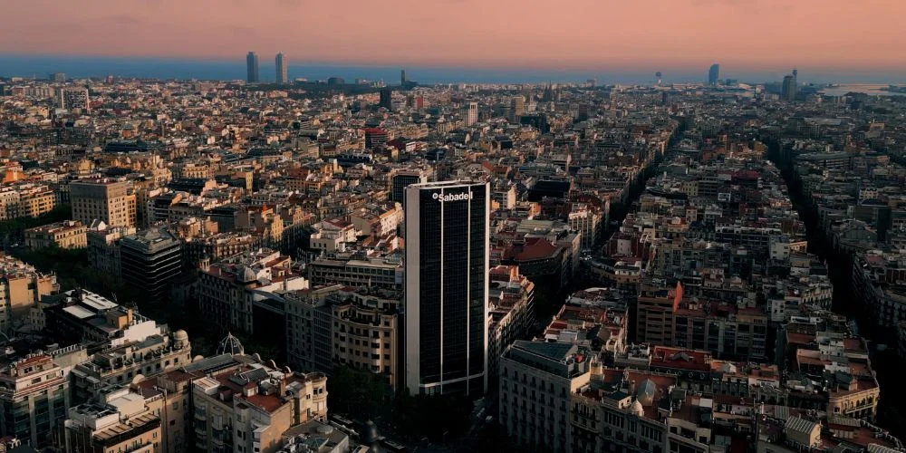
Trusted by contractors, engineering firms and public institutions







Technical specifications
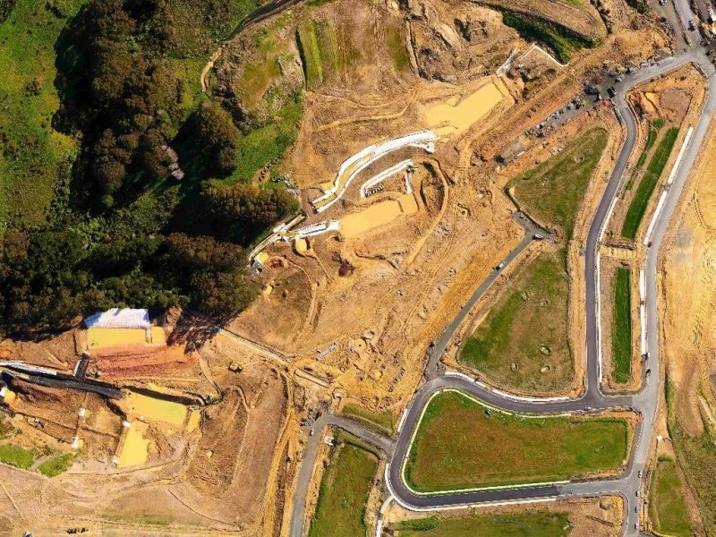
- Resolution
Orthomosaics offer exceptional spatial resolution, reaching up to 1 cm/pixel depending on the altitude at which the photographs are taken.
Thanks to the overlap between the photographs, image quality is maintained without introducing distortion, ensuring a faithful representation of the terrain.
- Pixel size
Because drone flights are carried out at a constant altitude, resolution and pixel size remain uniform across the whole surveyed area, guaranteeing consistent, accurate data throughout the digital model.
- Georeferencing
All images are georeferenced, allowing easy integration with geographic information systems (GIS) and other geolocation tools.
- Accuracy
High accuracy is achieved through real-time RTK coordinate correction and by placing ground control points with surveying equipment.
These tools guarantee the reliability and precision of the data, optimising the quality of the models produced.
- Compatibility
Orthomosaics are compatible with a wide range of Geographic Information Systems (GIS), allowing smooth integration into existing workflows. This broadens the possibilities for analysis and visualisation, supporting decisions based on accurate geospatial data.
- Image type
Orthomosaics can be generated from RGB images, giving a faithful representation of the surroundings, or from multispectral images such as RG NIR (Red, Green, Near Infrared and Red Edge), ideal for vegetation studies, precision agriculture and environmental analysis. Orthomosaics can also be generated from IRB FFF thermal images.
| Specification | Detail |
|---|---|
| Resolution | Up to 1 cm/pixel, depending on flight altitude |
| Accuracy | Real-time RTK coordinate correction and ground control points placed with surveying equipment |
| Image type | RGB, multispectral (RG NIR) and thermal (IRB FFF) |
| Delivery formats | Raster: GeoTIFF, JPG, PNG · Elevation models: DEM, DSM, DTM · Maps: KML, KMZ |
| Equipment | Mavic 3 Enterprise drone with RTK module, D-RTK 2 mobile GNSS station, Matrice 350 RTK and Zenmuse L2 with integrated LiDAR |
| Turnaround | Depends on the project: calculated from the flight plan simulation and the number of hectares to process |
Service Applications and Benefits
Aerial drone orthophotography detects structural anomalies and changes in the terrain with high accuracy. It helps identify cracks, subsidence and ground movement in infrastructure and at-risk areas. Integrated with Geographic Information Systems (GIS), it streamlines periodic monitoring and planning in construction and urban development.
Using drones for aerial orthophotography makes inspections fast and safe, shortening lead times and streamlining highly accurate data collection. This method minimises workers' exposure to risk on critical infrastructure and in hard-to-reach areas, and also reduces the cost of data capture.
Models kept up to date with aerial orthophotography support better decisions based on accurate data. With geospatial information constantly updated, changes in the terrain, infrastructure and at-risk areas can be detected in real time. This improves project planning, supervision and control.
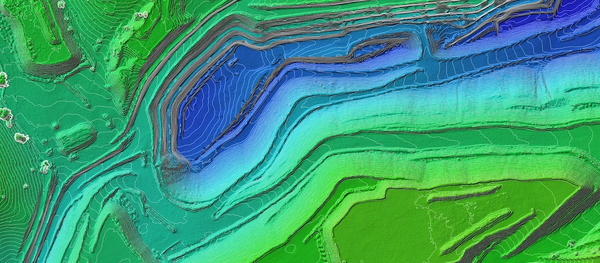
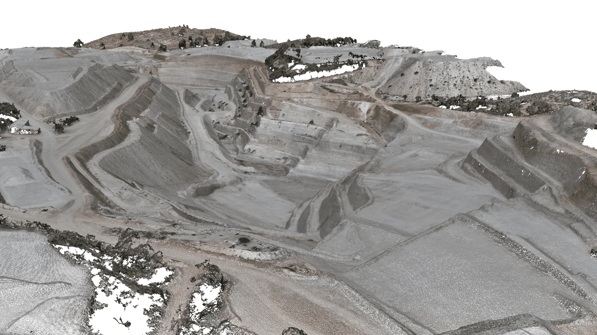
Drone orthophotography provides accurate measurements of areas, volumes and distances with high resolution and precise georeferencing. By capturing aerial images and processing them with advanced software, we can carry out topographic surveys and calculate areas and cut and fill volumes, optimising construction, mining and urban development projects
Deliverables
Raster Formats
- GeoTIFF
- JPG
- PNG
Elevation models
- DEM
- DSM
- DTM
Maps
- KML
- KMZ
Equipment used
We can produce high-resolution, highly accurate orthophotos thanks to the tools and equipment we use:
- Mavic 3 Enterprise drone with RTK moduleguarantees centimetre accuracy on every flight.
- D-RTK 2 mobile GNSS stationprovides highly accurate positioning data to complement aerial surveys.
- Matrice 350 RTKdesigned for large-scale projects, with high stability and payload capacity.
- Zenmuse L2 with integrated LiDARcaptures high-density data for 3D models and detailed analysis.
How we work
Step 1: Site information
You tell us the area and the purpose of the job.
Step 2: Flight plan simulation
We estimate how long the survey will take based on the area to be covered and the site conditions.
Step 3: Quote and turnaround
We calculate the processing based on the number of hectares and give you a quote and delivery date.
Step 4: Flight and delivery
We fly, produce the orthomosaic and deliver it georeferenced.
Featured projects
Any questions?
If your question is not here, give us a call and we will talk you through it.
+34 675 538 886What is aerial orthophotography?
Aerial drone orthophotography is an aerial mapping technique that produces highly accurate georeferenced images. It is used in construction, surveying, agriculture, urban planning and civil engineering to obtain detailed, distortion-free maps of the terrain.
How accurate are drone orthophotos?
Aerial drone orthophotos can achieve a resolution of up to 1 cm/pixel, depending on flight altitude and the type of sensor. Accuracy is ±2 cm, using RTK and ground control points. This allows areas, volumes and distances to be measured precisely.
What measurements can be taken with drone orthophotography?
With aerial orthophotography, areas, distances, cut and fill volumes, slopes and elevations can be calculated with high accuracy. It is a key tool for surveying, mining, construction control and environmental studies. It can also be used to mark out the boundaries of estates and plots.
How long does it take from placing the order to receiving an aerial orthophoto?
The delivery time for aerial drone orthophotography depends on several key factors. Once the client gives us the site information, we run a flight plan simulation to estimate how long the survey will take based on the area to be covered and the site conditions.
Then, depending on the number of hectares to process, we calculate the time needed to process the data and generate the orthomosaic. With these two parameters we prepare a detailed quote and set the best possible delivery date to guarantee highly accurate images and reliable georeferenced data.
What is the difference between an orthophoto and an orthomosaic?
An orthophoto is a single geometrically corrected aerial image, whereas an orthomosaic combines several orthophotos to cover a larger area of land.
Related services
Drone photogrammetry
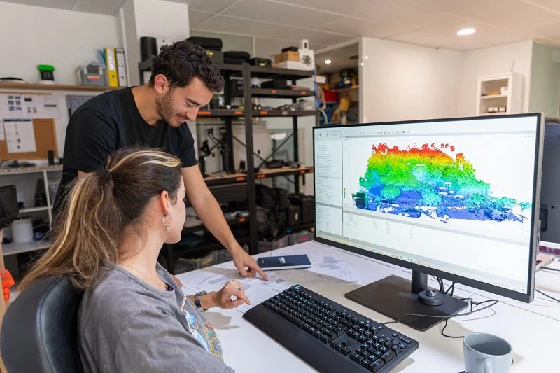
Drone photogrammetry, or aerial photogrammetry, is an essential tool for creating accurate, high-resolution 3D models.
Drone surveying
Discover the full technical specifications of our aerial surveying service, along with deliverables, equipment used and benefits.
Drone mapping
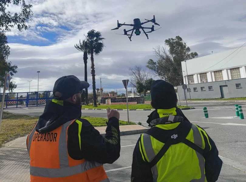
Cartography focuses on representing, visualising and analysing the land, ideal for studies, planning, environmental work or documentation.
3D Laser Scanning
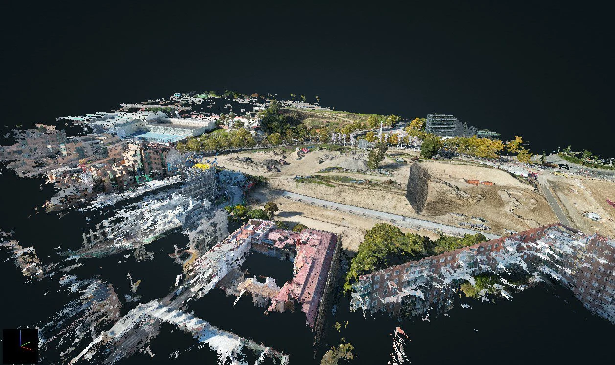
3D laser scanning with drone LiDAR and terrestrial scanners: georeferenced point clouds, 3D models and Scan to BIM, with RMS accuracy of ±2 cm.
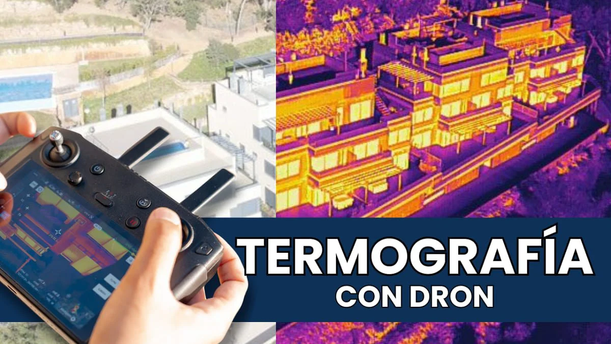
Drone thermography
Specialists in aerial drone thermography for photovoltaic and solar thermal installations, building inspections and more.
Further reading
Drone photos for mapping: technical characteristics
Drone surveying deliverables: data and accuracy
Marking control points on digital elevation maps
The 8 benefits of drone mapping in cartography
Aerial topographic surveys: lower cost, greater reach and speed
Photogrammetry for construction: how does it benefit your project?
Request information
We reply with a proposal, crew and schedule. We work all over Spain from our three offices.