 VisionHub



Drone Surveying
Topographic surveys with RTK drones and ground control points: accuracy of up to ±2 cm and up to 200 hectares per working day, depending on the technology used. We deliver digital models, 2D vector files and contour lines ready for CAD and GIS.
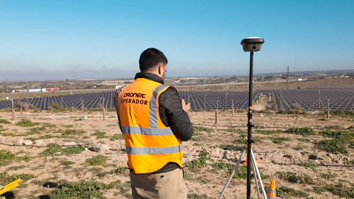
Drone Topographic Surveying
At Droneit we provide drone surveying services using advanced 2D and 3D photogrammetry and drone technology. By combining centimetre-accurate ground control points (GCPs) with RTK-equipped drones, our topographic surveys deliver detailed, reliable results for a wide range of applications in mapping, engineering, heritage, mining, construction and urban planning projects.
We offer you a team of experienced drone operators who specialise in drone-based topographic measurement and have the field experience to place ground control points with surveying equipment on the ground.
Trusted by contractors, engineering firms and public institutions








Technical specifications
- Accuracy
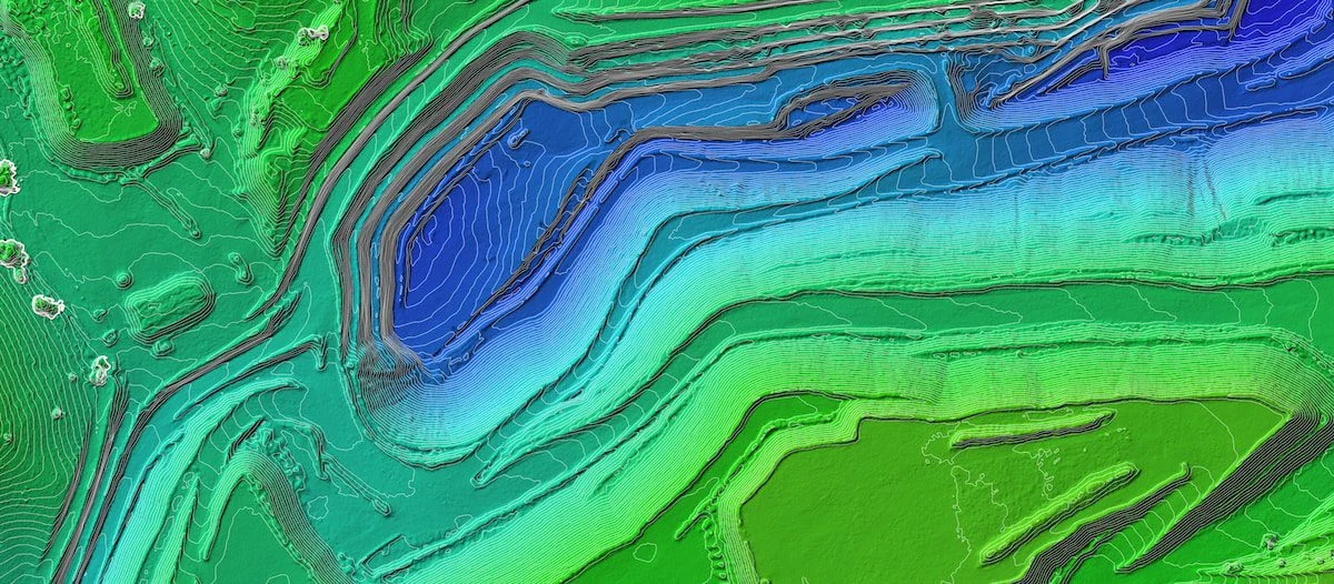
Using RTK drones and GPS-positioned ground control points, we achieve an accuracy of ±2 cm in our topographic surveys. We use photogrammetry technology to ensure maximum reliability and detail in the results.
- Coverage
Surveys of up to 200 hectares per working day, depending on the technology used, with the capacity to run two teams simultaneously.
- Sectors
- Cartography and Mapping
- Construction and Urban Planning
- Precision Agriculture
- Mining
- Infrastructure Inspection
- Forest Management
| Specification | Detail |
|---|---|
| Accuracy | Up to ±2 cm, with RTK drones and ground control points (GCPs) |
| Coverage | Up to 200 hectares per working day, depending on the technology used, with two teams working simultaneously |
| Delivery formats | Digital models: GeoTIFF, DEM, DTM · 2D vector files: DXF, DWG, SHP · Contour lines: XYZ, SHP, DXF |
| Equipment | Drones with GPS and RTK, calibrated high-resolution cameras, LiDAR scanner and data processing software |
| Turnaround | Depends on the project |
Service Applications and Benefits
Drone surveying provides accurate measurements that are up to date instantly. Because drones capture large volumes of data in a short time, results are available in real time, improving decision-making on large-scale projects.
Using drones for surveying cuts costs by removing the need for the equipment and specialist field staff that conventional surveying requires. This optimises resources, speeds up processes and improves efficiency on surveying projects.
Fast drone flights and cloud-based data processing make it possible to complete projects in days or hours instead of weeks or months. This optimises human and material resources, improving efficiency and reducing costs.
Our drones, equipped with advanced technology, guarantee high-accuracy measurements, which is essential for projects that demand precision, such as infrastructure planning, civil works and topographic mapping.
Drones can cover large areas and hard-to-reach terrain, such as mountains or rural areas, where measuring manually would be difficult or even dangerous. This ensures accurate data can be obtained without compromising staff safety.
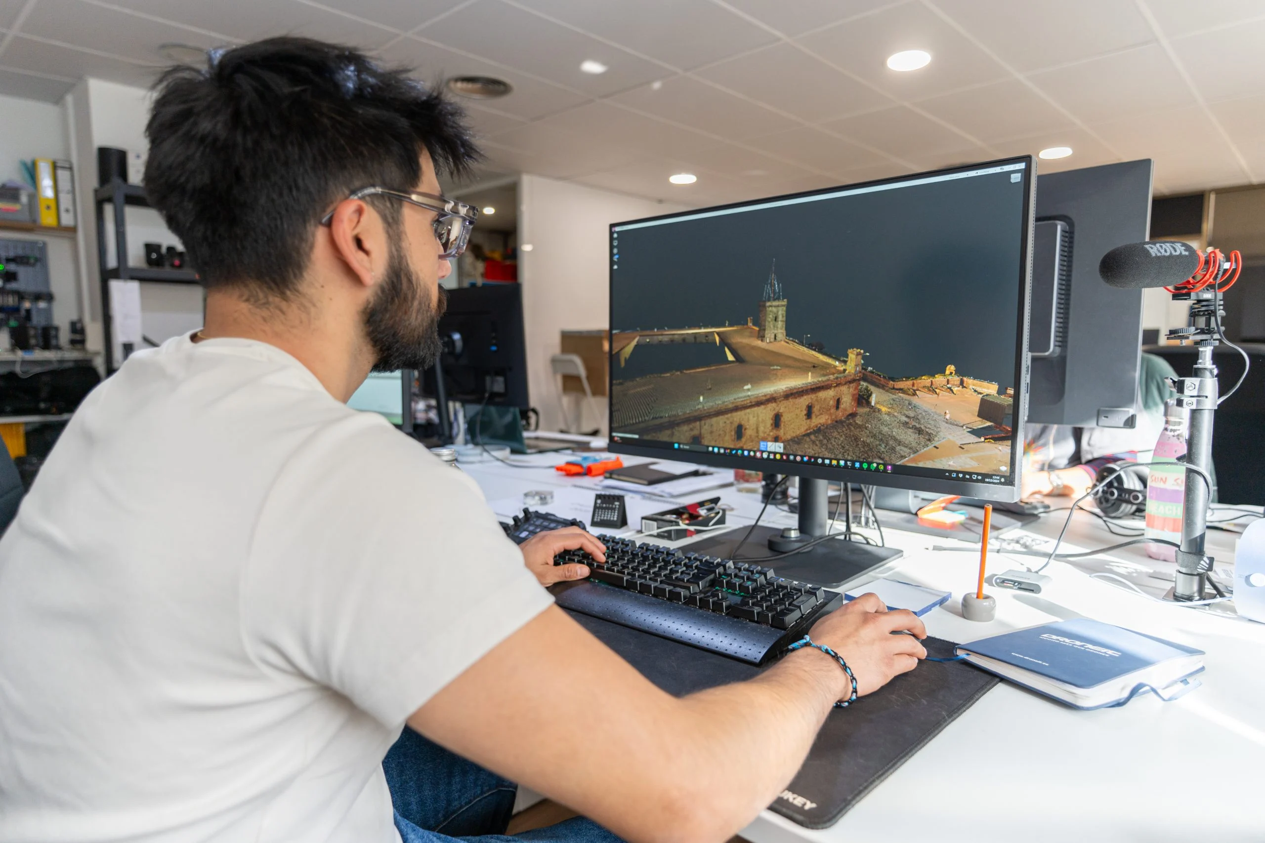
Deliverables
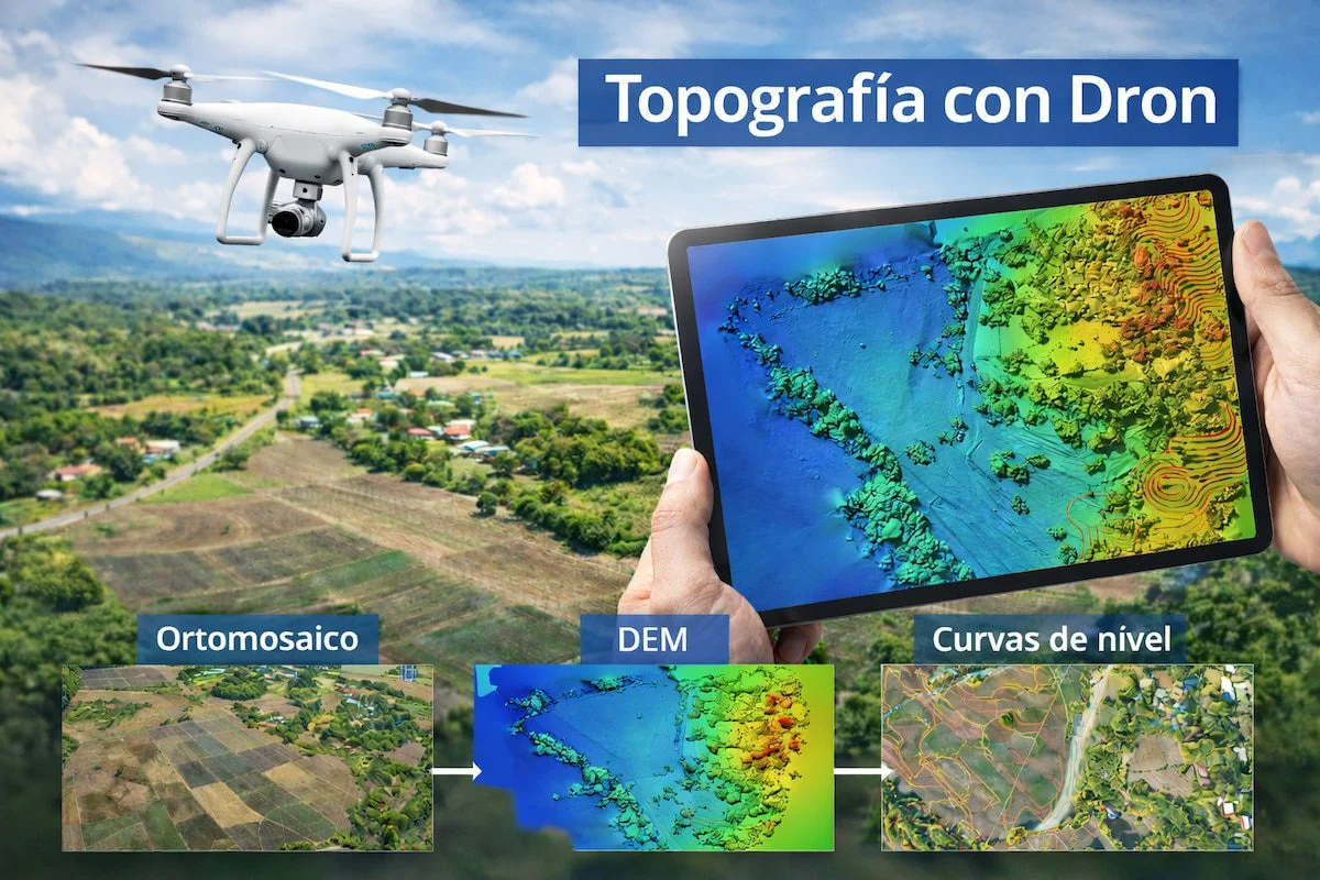
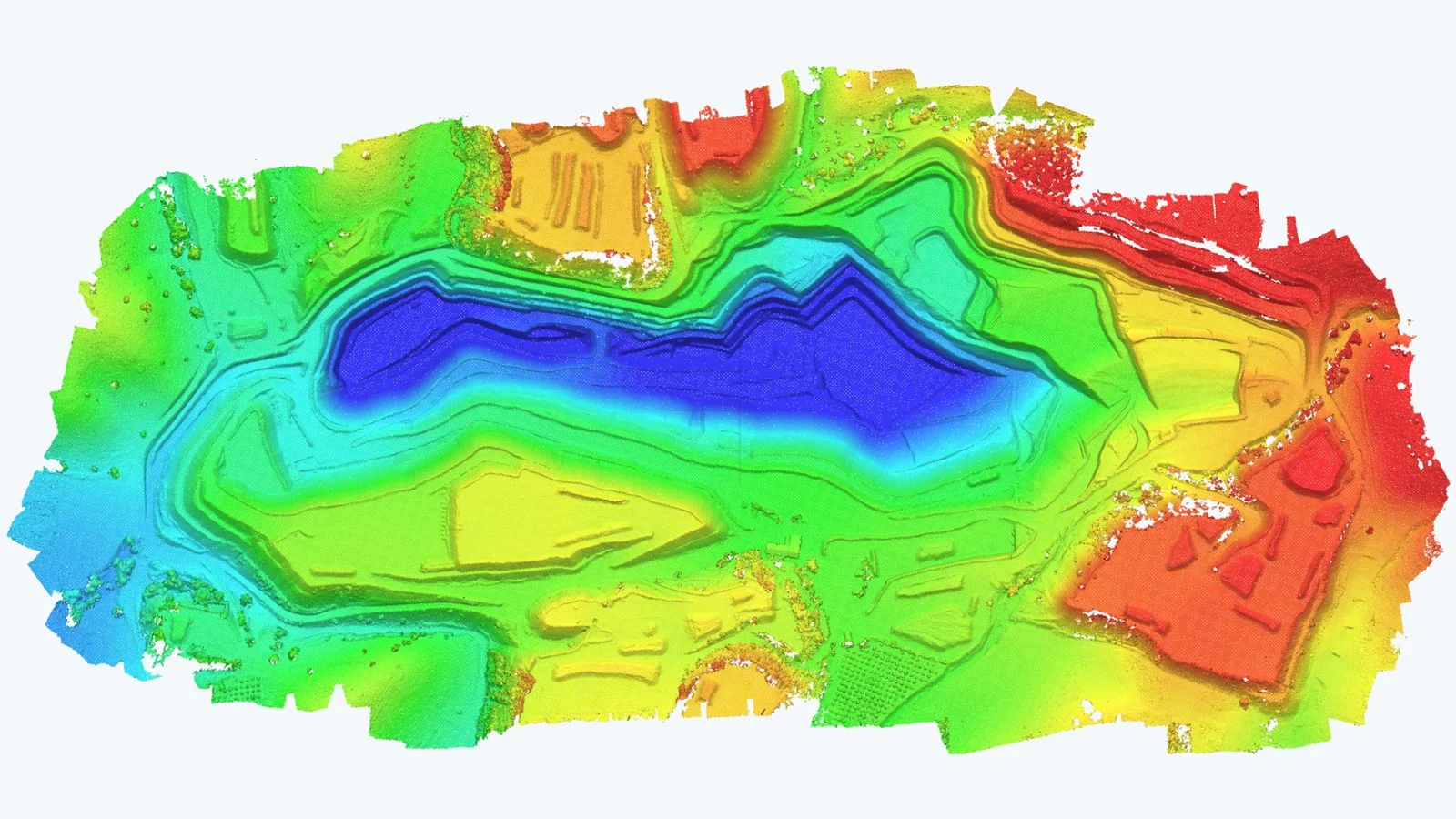
Digital Models
- GeoTIFF
- DEM
- DTM
2D Vector Files
- DXF
- DWG
- SHP
Contour Lines
- XYZ
- SHP
- DXF
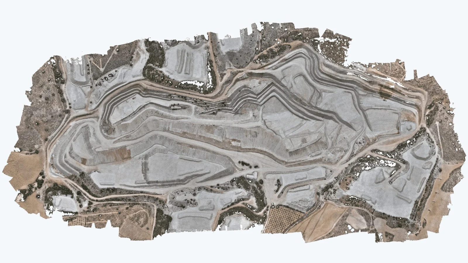
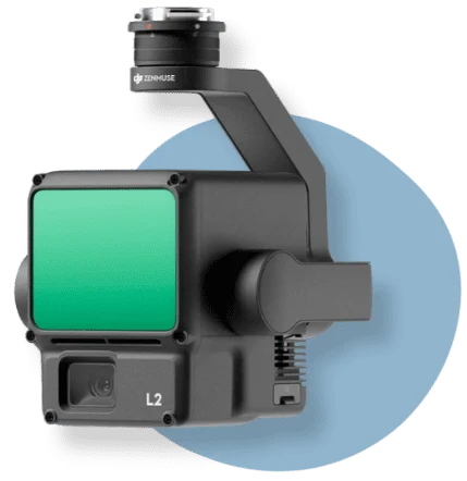
Equipment used
The equipment we use for drone surveying ensures accuracy and efficiency when capturing data in the field.
- Drones (UAVs)We operate a wide range of latest-generation drones for topographic surveys and photogrammetric measurements.
- High-resolution camerasEssential for capturing accurate photogrammetry images that produce precise point clouds.
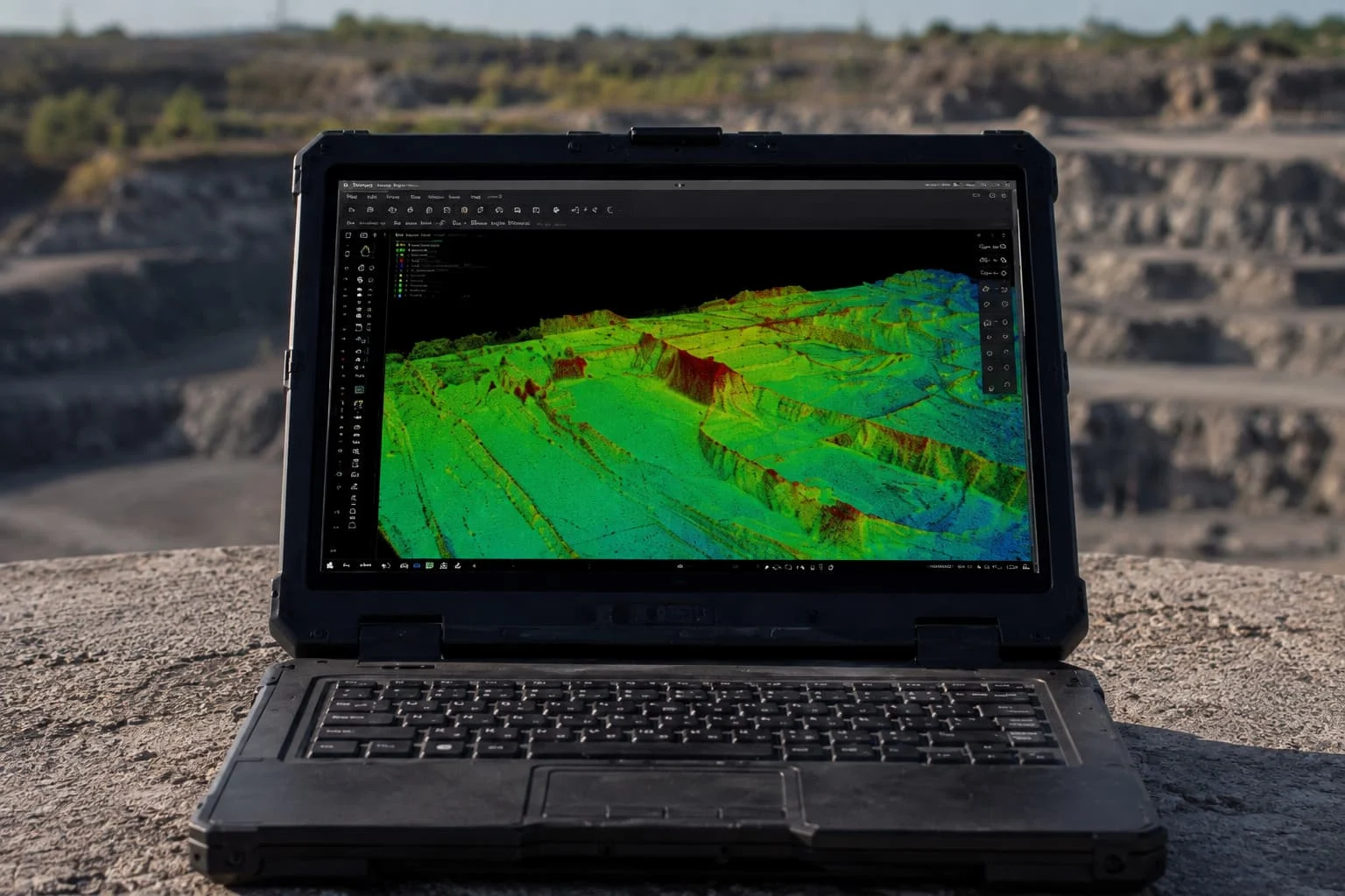
- LiDAR scannerA laser sensor for obtaining accurate topographic data and 3D models, avoiding interference from vegetation.
- GPS and RTK systemEnsures exact measurements and accurate data.
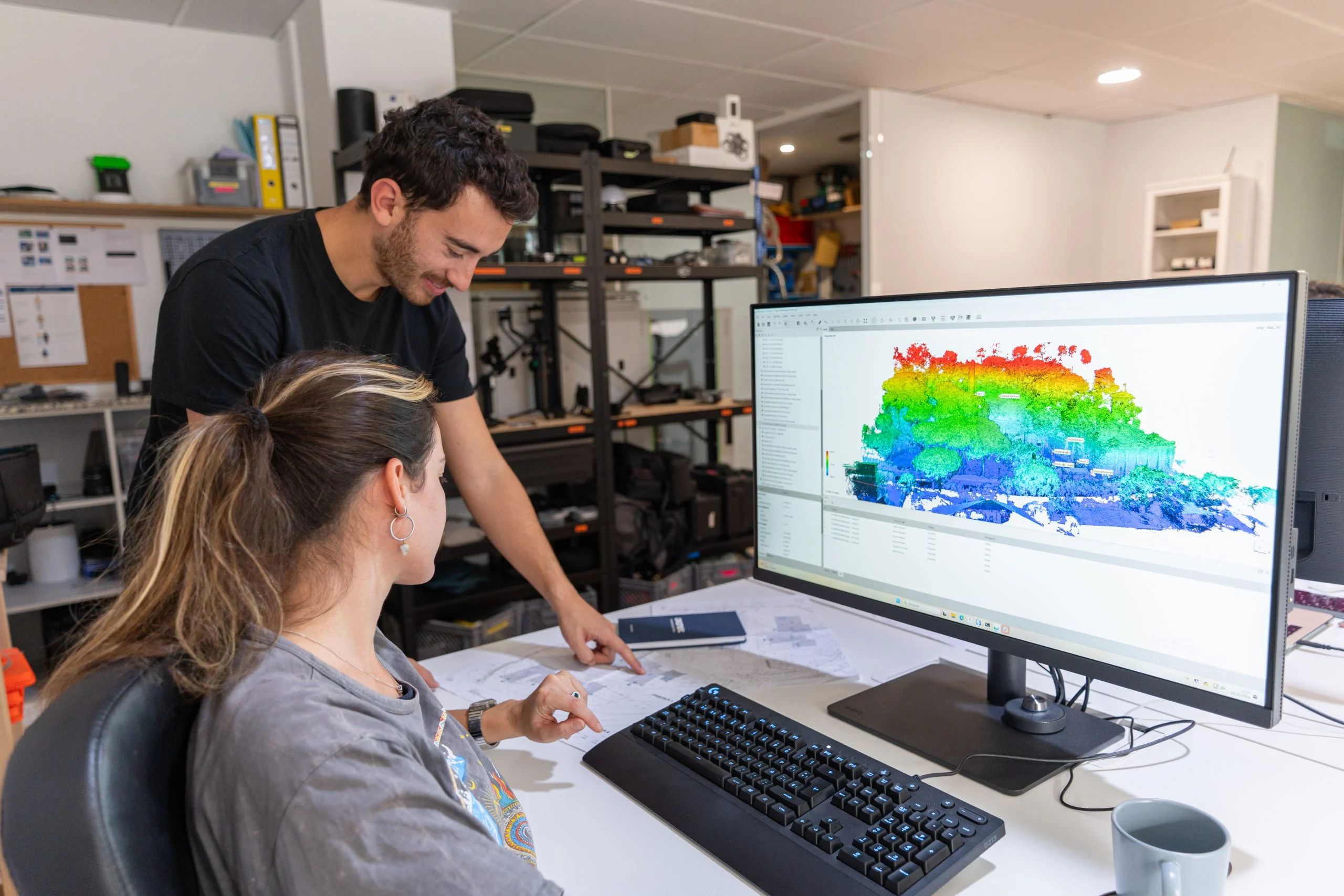
- Data processing softwareTurns the data into maps and 3D models, improving project planning.
How we work
Step 1: Flight planning
We analyse the site and plan the drone surveying flights around the specific features and conditions of the terrain to ensure accurate, high-quality results.
Step 2: Data capture
We use drones fitted with calibrated high-resolution cameras to capture images of the terrain, and GPS equipment to measure ground control points on the ground.
Step 3: Processing
Advanced image processing with photogrammetry software to generate accurate orthophotos and 3D models.
Step 4: Delivery
Digital models, 2D vector files and contour lines in formats compatible with CAD and GIS software.
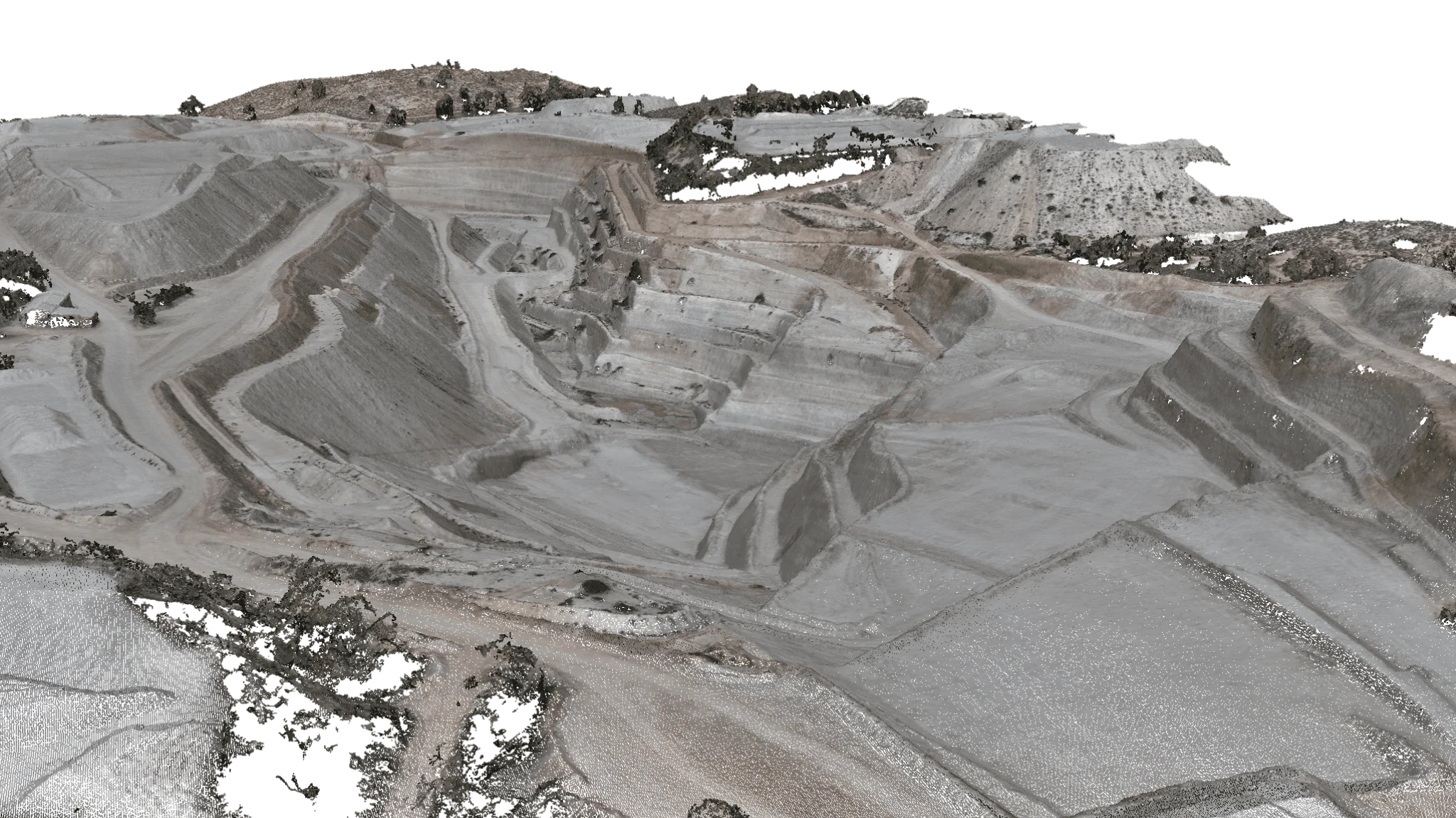
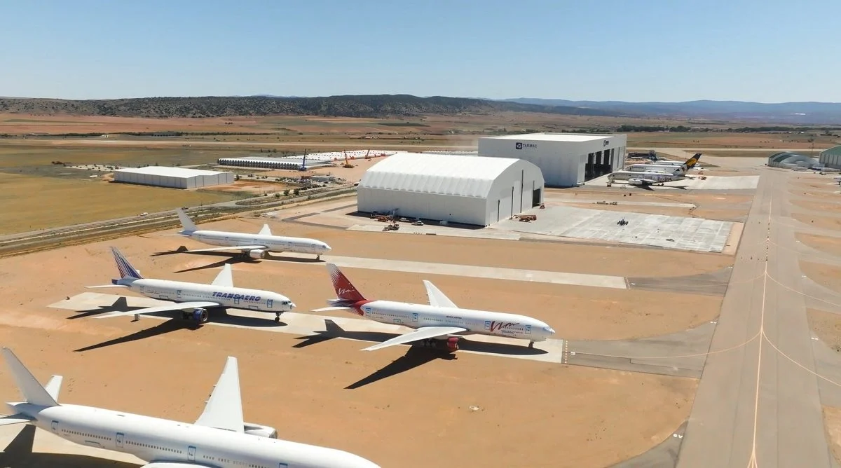
Featured projects

Any questions?
If your question is not here, give us a call and we will talk you through it.
+34 675 538 886How do drone surveying and mapping differ from traditional methods?
Drone surveying and mapping deliver high-accuracy data in less time and at a lower cost than traditional methods. Drones can also reach hard-to-access areas, improving project safety and efficiency.
How accurate are drone topographic surveys?
Thanks to RTK technology and ground control points (GCPs), our drones achieve an accuracy of up to ±2 cm, ideal for projects that require precise georeferencing and elevation.
What types of projects can benefit from drone mapping and surveying?
Companies in sectors such as construction, mining, precision agriculture and natural resource management can benefit greatly from the accuracy and efficiency of our topographic and mapping surveys.
What file formats do you deliver, and are they compatible with CAD and GIS software?
We deliver orthophotos, 2D maps and 3D models in formats such as DXF, DWG and GeoTIFF, compatible with CAD and GIS software, so they integrate easily into our clients' projects.
How can drone surveying and mapping help with land registry (cadastre) projects?
Drone surveying and mapping provide accurate, up-to-date data on land and properties, making it easier to create and maintain cadastral records. Because they cover large areas quickly and with high accuracy, drones are an efficient tool for updating property boundaries, identifying unregistered buildings and analysing changes in land use. This is especially useful for companies and public authorities responsible for land management and planning.
How is flight planning carried out to ensure data accuracy?
We analyse each site and plan the flights according to the needs of the project, ensuring that all accuracy and georeferencing requirements are met.
Is a licence or permit required for drone mapping and surveying?
In Spain, a licence or permit is required to operate drones commercially. Requirements may vary depending on the jurisdiction and the weight of the drone. It is important to comply with local regulations and obtain the necessary authorisations before carrying out drone surveying and mapping work. As a UAS operator registered with AESA No. 2018030856, Droneit obtains the flight permits on behalf of its clients.
Related services
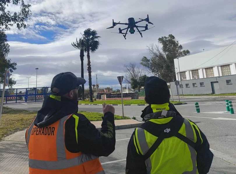
Drone mapping
Mapping focuses on representing, visualising and analysing the land, ideal for studies, planning, environmental work or documentation.
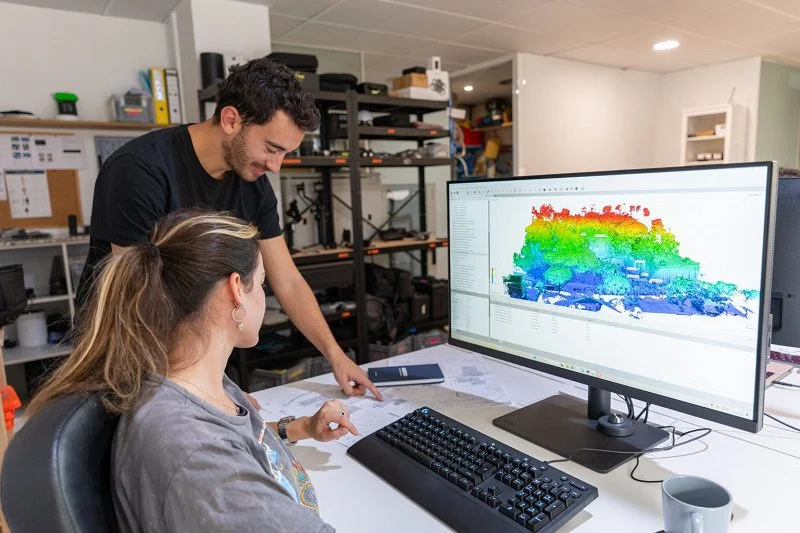
Drone photogrammetry
Drone photogrammetry, or aerial photogrammetry, is an essential tool for creating accurate, high-resolution 3D models.
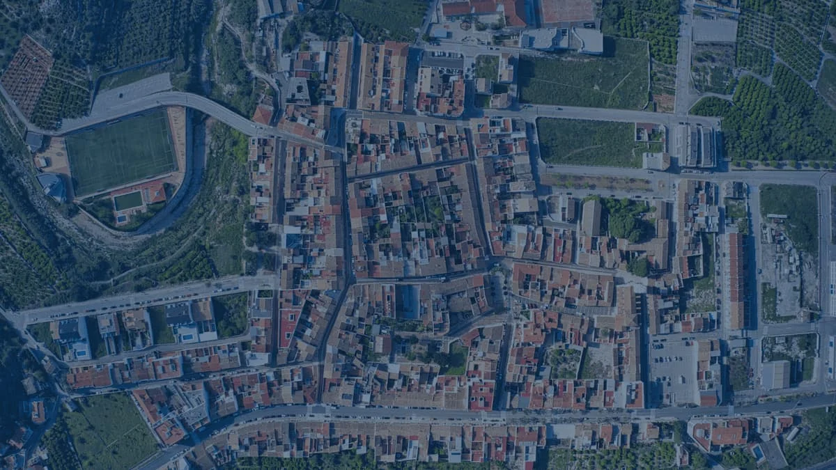
Aerial orthophotography
Drone aerial orthophotography is an aerial mapping technique that produces highly accurate georeferenced images.
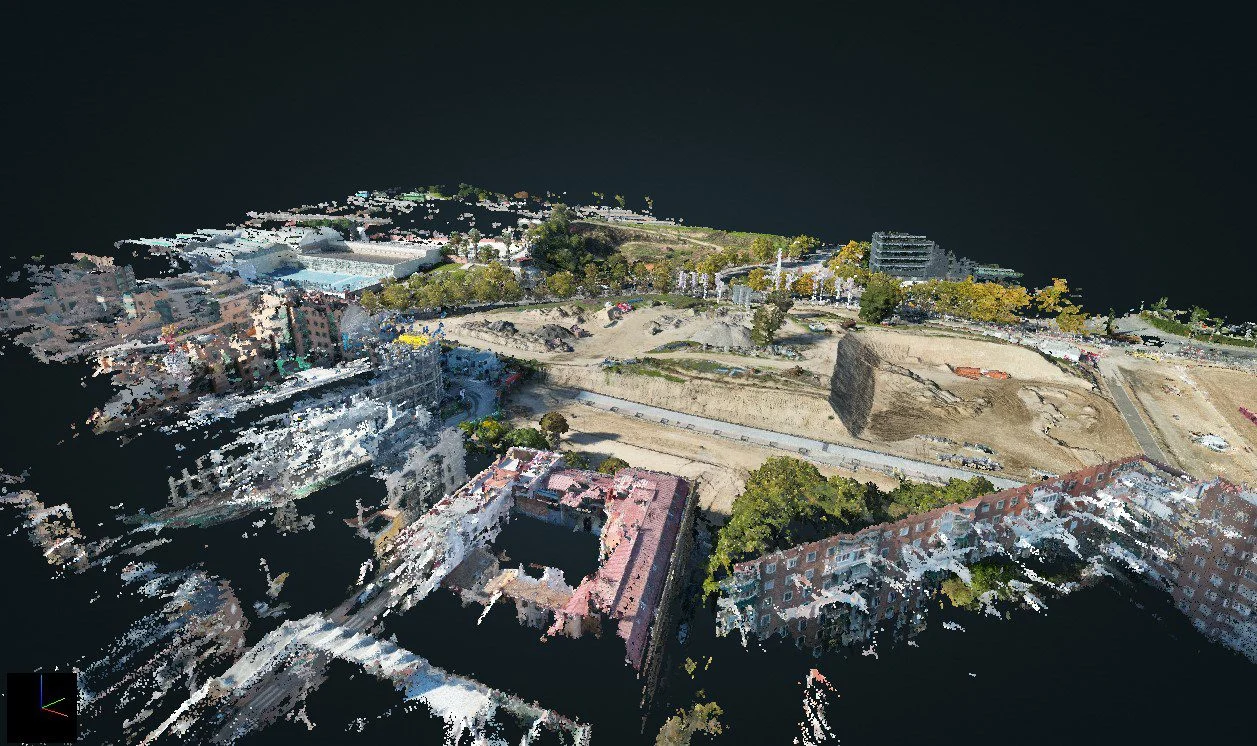
3D Laser Scanning
Discover the technical specifications, deliverables and features of our 3D LiDAR laser scanning service, by drone or on site
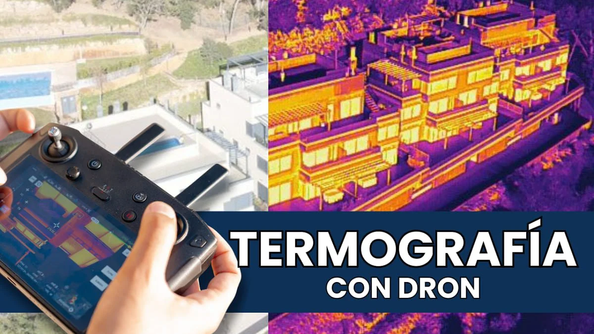
Drone thermography
Specialists in aerial drone thermography for photovoltaic and solar thermal plants, building inspections and more.
Further reading
Carrying out a drone surveying project
Aerial topographic survey: lower cost, greater reach and speed
Drone surveying deliverables: data and accuracy
Marking ground control points on digital elevation maps
Accurately measuring hard-to-reach land without walking it
Drone point clouds: when to use photogrammetry and when to use a LiDAR scanner
Request information
We reply with a proposal, crew and schedule. We work all over Spain from our three offices.