VisionHub



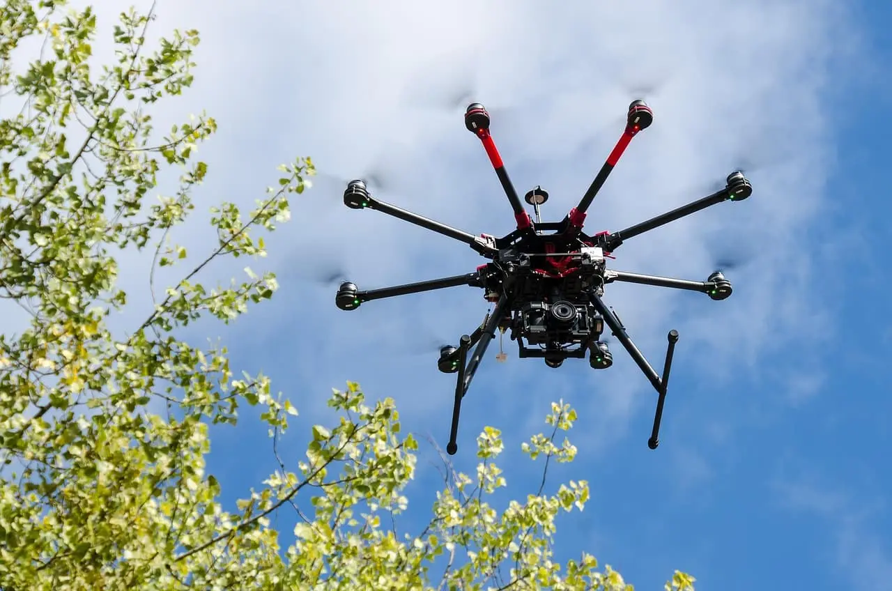
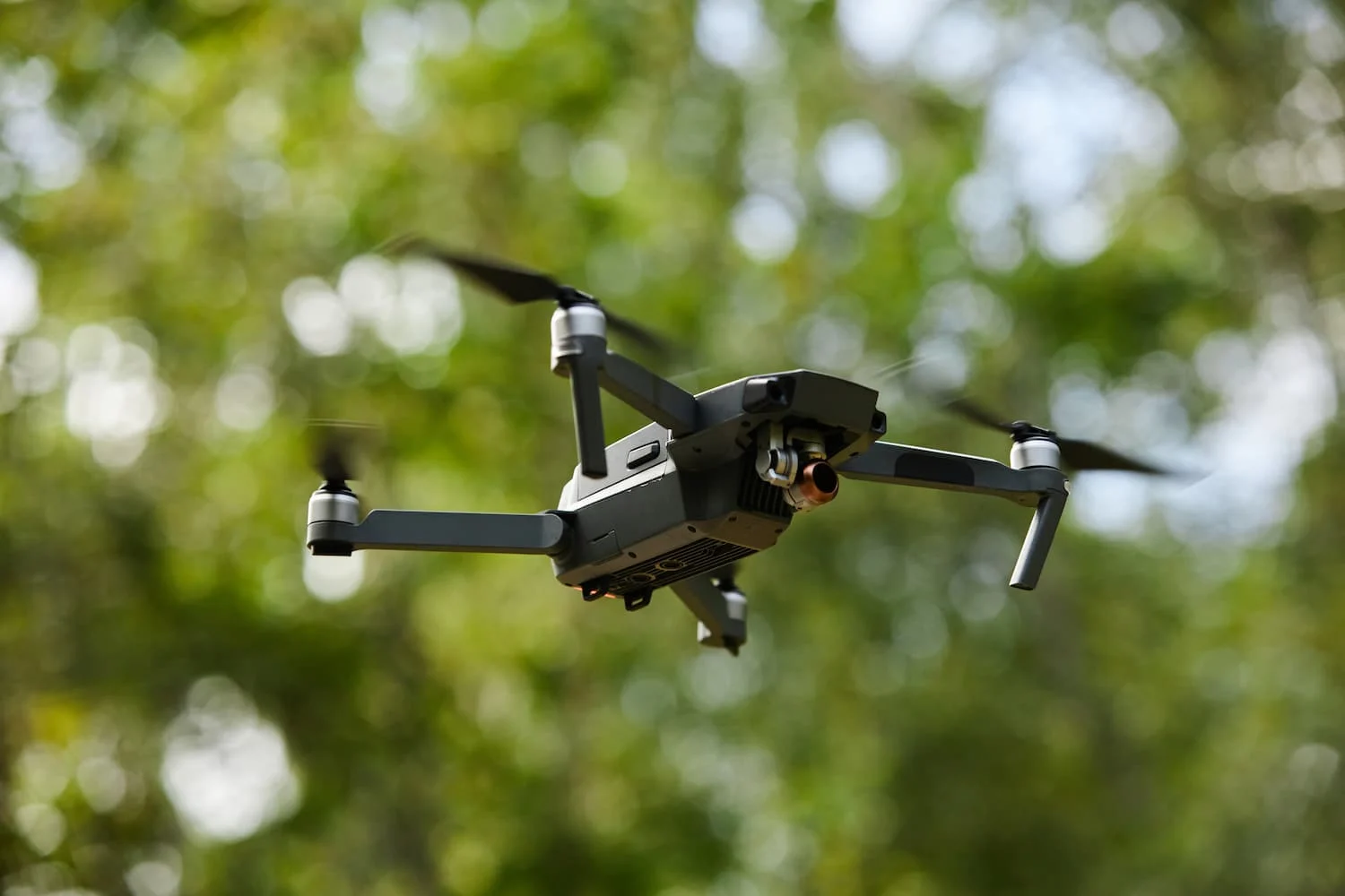
Mapping has changed significantly in recent years thanks to advances in technologies such as drones. Today, drones can capture high-accuracy aerial images that are transforming the way maps, 3D models and land analyses are produced. Compared with traditional methods, drone photography offers a unique combination of resolution, accuracy and flexibility, making it an essential tool for surveyors, urban planners and environmental professionals. Below, the experts at Droneit, specialists in aerial solutions for mapping and geospatial analysis, run through the key features of these images.
High resolution
Drone images usually have high spatial and temporal resolution, which is crucial for capturing precise detail in mapping.
Photo interpretation
The initial process of interpreting the images and drawing up a preliminary legend from them.
Adjustable scale
Image scale can vary (1:100, 1:250, 1:500, 1:1000) depending on the drone's flight time and the camera's resolution.
No lens distortion
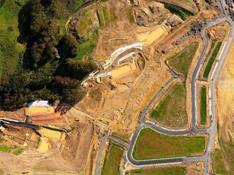
The resulting orthophotos are free of the distortions caused by the lens or by distance from the ground, so surfaces, perimeters and lengths can be measured accurately.
Image overlap
Images are captured with overlap to ensure complete, consistent coverage of the mapped area.
3D models and orthomosaics
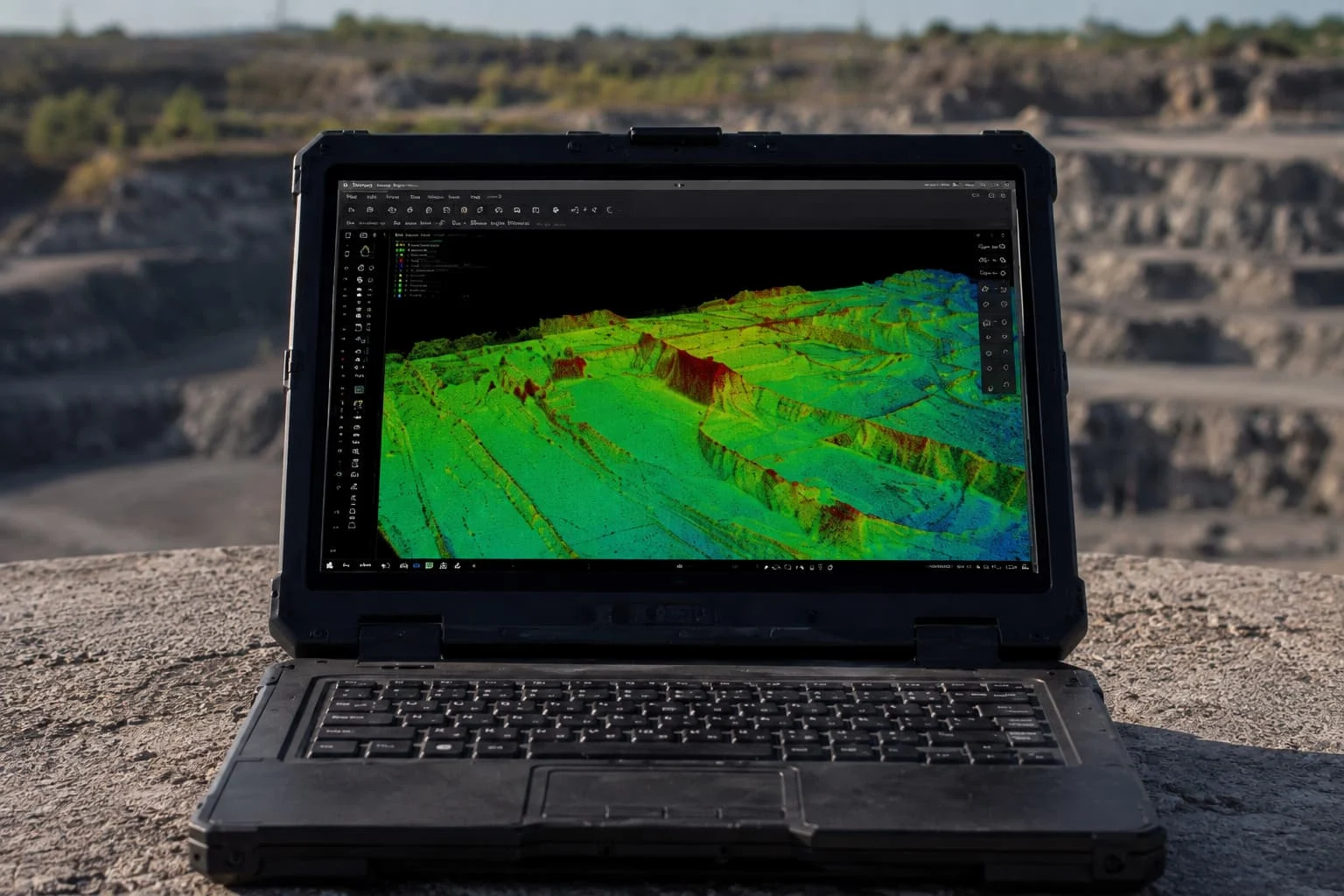
The images are processed into 3D models and orthomosaics, giving an accurate and detailed representation of the area.
Georeferencing
Images are georeferenced using GCPs (ground control points) and RTK devices to ensure features are located with high geographic accuracy.
Vector maps
Vector files can be generated from the images, making analysis and planning easier in urban mapping.
Measuring coordinates, distances, areas and volumes
The images allow exact measurements, including coordinate calculations and the creation of contour lines.
Image capture tailored to the setting
The drone can capture images from the best heights and angles, picking up relevant detail in urban or natural areas and on hard-to-reach terrain.
Get in touch, no obligation
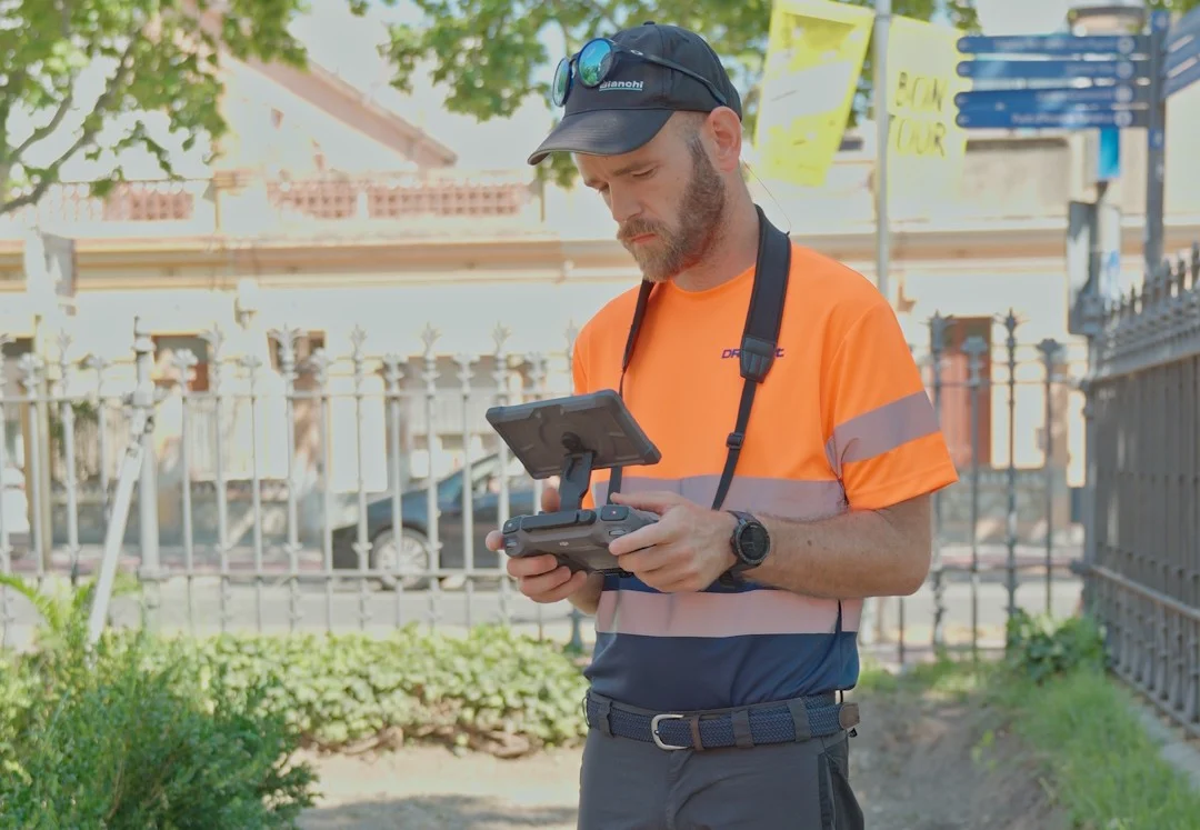
At Droneit we offer a specialist orthophotography service for drone mapping, designed to deliver high-accuracy results tailored to each project. Whether you need detailed maps for urban planning, environmental monitoring or topographic surveys, our team combines advanced technology, certified pilots and mapping expertise to deliver outputs ready for analysis and decision-making. Get in touch and find out how our orthophotos can make your work easier from the air.