VisionHub



Surveying and mapping have a long-standing enemy: vegetation. Trees and scrub hide the real ground and hold back any technique that only "sees" the surface. Drone LiDAR solves exactly that problem, because its laser can pass through gaps in the foliage and return the terrain underneath. In this article we explain what drone laser scanning is, how it differs from photogrammetry, and walk through a real case in which we recovered the ground beneath a dense forest for wildfire prevention, hydraulic modelling and engineering projects.
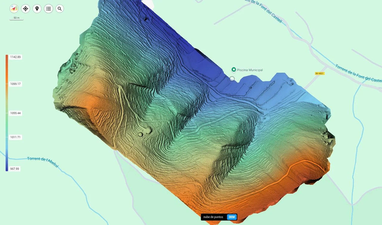
Drone-captured LiDAR point cloud of a tree-lined riverbed, coloured by elevation.
What is drone LiDAR?
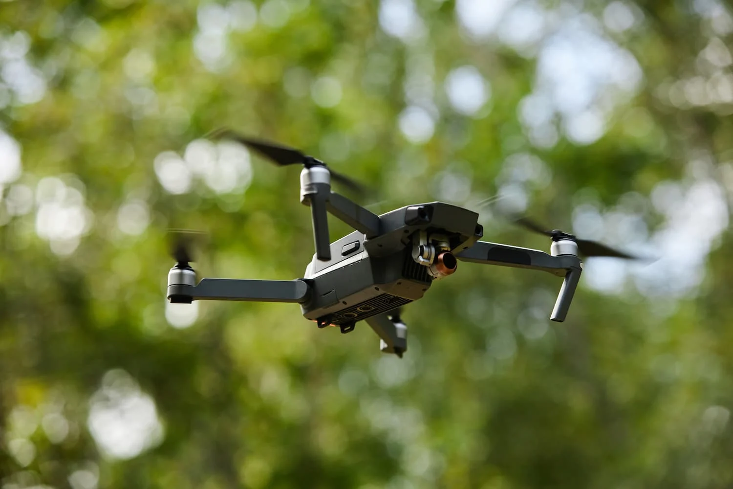
LiDAR (Light Detection and Ranging) is a sensor that fires millions of laser pulses per second and measures how long each one takes to bounce back. Mounted on a drone and paired with RTK positioning, it produces a 3D point cloud of the terrain with centimetre-level accuracy. Unlike a camera, the laser does not need to "see" a texture: it emits its own energy and records several returns per pulse. That is what lets it slip between the leaves and capture both the tree canopy and the ground below it.
At Droneit we use drone laser scanning to capture 3D geospatial data even in densely vegetated environments. The system combines laser and RTK to produce detailed point clouds, making better use of resources and cutting cost and time compared with traditional surveying methods.
Drone LiDAR vs photogrammetry: when to use each
Drone photogrammetry rebuilds a 3D model from a large number of overlapping photographs. It is an excellent, cost-effective technique with very high visual resolution for orthomosaics, mapping and models of open surfaces, and it reaches resolutions of 1–2 cm/pixel and centimetre-level accuracy when supported by ground control points (GCPs) and RTK. Its limit is a physical one: if the camera cannot see the ground, because vegetation is covering it, it cannot reconstruct it.
That is where drone LiDAR comes out ahead. By recording several returns per pulse, it separates vegetation from terrain and makes it possible to rebuild the real ground beneath the forest canopy. In practice the two technologies complement each other: photogrammetry provides the visual detail and the orthomosaic, while LiDAR provides a reliable digital terrain model (DTM) wherever there is vegetation cover. On many projects we combine them.
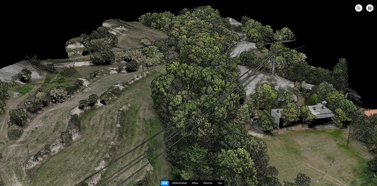
Orthophoto of the tree-lined riverbed: the aerial image shows the canopy, but not the ground beneath it.
Case study: seeing the terrain beneath a dense forest
To show what airborne LiDAR is worth, we take a real example: the survey of a tree-lined riverbed and of terrain under dense forest. The aim was to obtain the real ground surface for wildfire prevention studies and terrain analysis. These are the steps of the workflow.
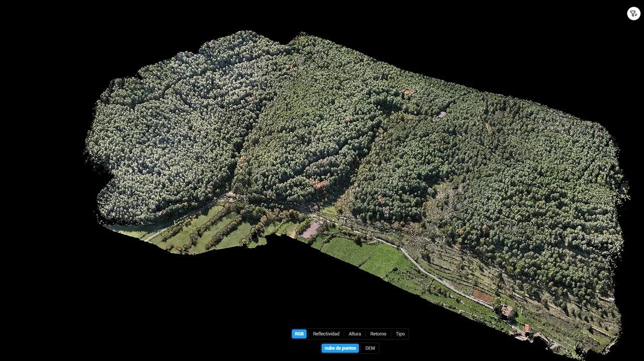
Point cloud by elevation (forest included)
The first product is the full point cloud, coloured by height. Everything is in it: canopies, trunks, scrub and ground. It is a faithful three-dimensional portrait of reality, but the vegetation still dominates the scene.
Filtering out the vegetation
Thanks to the laser's multiple returns, we classify the points and separate the vegetation from the ground. The profile shows how, beneath the trees, a continuous terrain line appears (in orange) that no camera could have captured. This ability to separate out the vegetation is what really sets drone LiDAR apart.
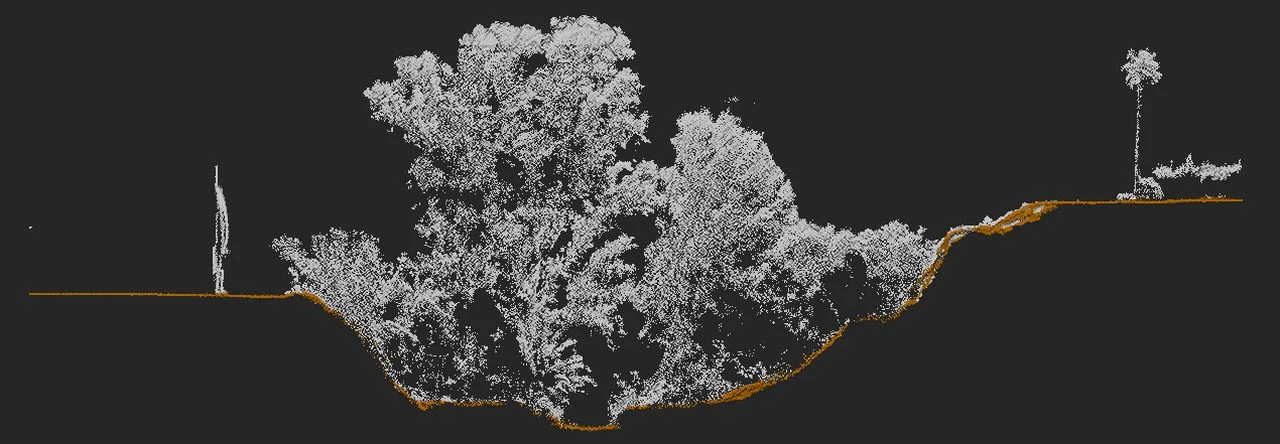
LiDAR profile: vegetation in grey; in orange, the terrain line recovered beneath the forest.
Ground classification and digital terrain model (DTM)
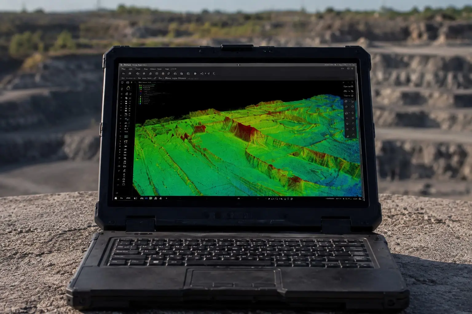
Once the ground points are classified, we generate the digital terrain model: a representation of the "bare" relief, with no vegetation. On that DTM you can measure slopes, calculate volumes, draw cross-sections and feed other technical studies with reliable data.
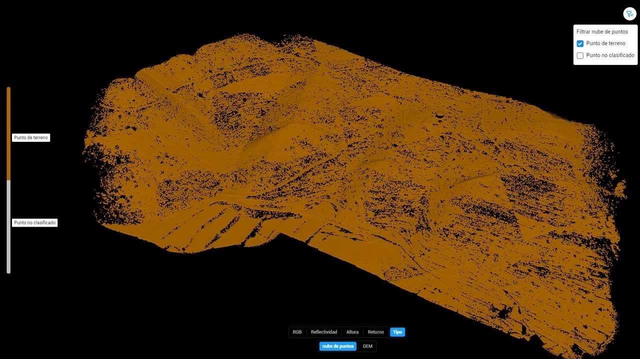
Classified point cloud and the terrain beneath the forest: the real ground, ready to generate the DTM.
Applications: from wildfire prevention to hydraulic models
Classified point cloud and the terrain beneath the forest: the real ground, ready to generate the DTM.
Wildfire prevention
LiDAR makes it possible to build forest inventories of trees and shrub vegetation: stand height, density, spacing between canopies and available fuel. That information is key to wildfire prevention plans, to sizing firebreaks and to prioritising clearance work on objective grounds.
Hydraulic models and river management
Flood risk studies and hydraulic models need an accurate DTM of the channel and its banks. Because riverbeds almost always carry riparian vegetation, drone LiDAR is the ideal tool: it gives the true elevation of the bed and banks, the essential basis for modelling how the water behaves and the extent of flooding.
Surveying, mapping and more
Beyond forestry, drone laser scanning is used for surveying and mapping large areas, in mining to calculate volumes, in archaeology and heritage to reveal structures hidden by vegetation, in precision agriculture and in infrastructure inspection. The point cloud can also be brought into BIM models and used to generate 3D sections for measurement and deformation analysis.
Sectors where we use drone LiDAR
- Mapping of large areas.
- Forest management and wildfire prevention.
- Civil and hydraulic engineering: riverbeds, flood risk and hydraulic models.
- Construction and urban planning.
- Mining and quarrying: volume calculations and monitoring.
- Archaeology and cultural heritage.
- Infrastructure inspection.
- Precision agriculture.
Droneit's LiDAR service specifications
Our drone LiDAR service delivers an accuracy of ±1 cm to ±5 cm, ideal for surveying, geospatial mapping and inspections. In suitable conditions, and depending on the technology used, we scan up to 150 hectares per day, which allows fast surveys of large and hard-to-reach areas. From the point cloud we deliver 3D models, sections, DTM/DEM and products ready for BIM and GIS, in formats such as LAS/LAZ, XYZ, DXF, DWG, GeoTIFF and others, working in the project's coordinate system.
- Accuracy: ±1 to ±5 cm. Output: up to 150 ha/day. Technology: laser + RTK, multi-return to separate out vegetation. Deliverables: point cloud, DTM/DEM, sections, 3D models, BIM/GIS integration.
How we run a drone LiDAR project
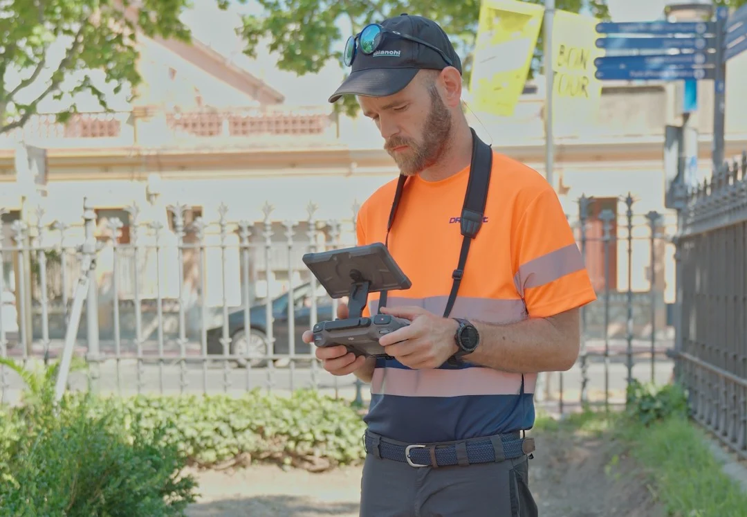
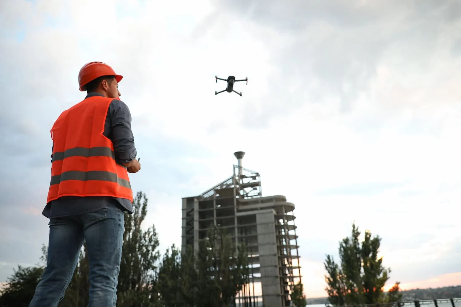
Every survey starts with a site analysis and flight planning: we study the terrain, the flight altitude and the weather to guarantee the coverage and point density required. During capture, the drone, fitted with a LiDAR sensor and RTK, flies the area autonomously, while on the ground we set out the control points that tie the model to the project coordinates. We then process the point cloud (filtering, classification, quality control) and produce the final deliverables. This workflow lets us cover large and hard-to-reach areas beyond the limits of conventional surveying, with a real saving in time and cost.
Drone LiDAR FAQs
Does drone LiDAR really "see" the ground beneath the trees?
Yes. The laser fires millions of pulses and records several returns per pulse: some bounce off the canopy and others reach the ground through gaps in the foliage. By classifying those returns we recover the terrain beneath the vegetation, something photogrammetry cannot do on its own.
How accurate is drone laser scanning?
Between ±1 cm and ±5 cm, depending on flight altitude, terrain and conditions. That is accurate enough for surveying, mapping, hydraulic models and engineering inspections.
LiDAR or photogrammetry for my project?
If there is vegetation or you need the real ground surface, LiDAR. If the terrain is open and visual detail and cost come first, photogrammetry with an orthomosaic. In many cases the best answer combines both, and at Droneit we will advise you on which suits your goal.
Conclusion
Drone LiDAR turns a classic problem, vegetation hiding the ground, into a competitive advantage. Where photogrammetry stops, the laser keeps capturing the real terrain, with the accuracy that surveying, mapping, wildfire prevention and hydraulic models demand. The dense forest case proves it: from impenetrable foliage to a terrain model ready to work with.
Do you have a project with vegetation or complex terrain?
At Droneit we help you get the data you need with drone LiDAR, photogrammetry and 3D laser scanning.