VisionHub



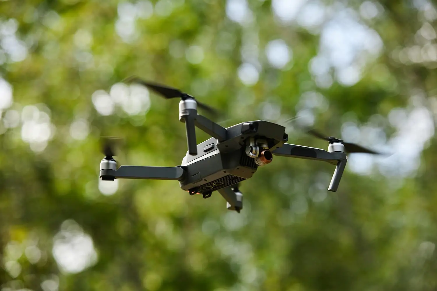
Drones have transformed mapping in recent years. Work that once took days or even weeks with traditional methods can now be done in a few hours with drone mapping, a technique that combines drones, high-precision positioning systems and photogrammetry software to produce maps, orthophotos and 3D models of the terrain.
Drone mapping involves automatically capturing hundreds or thousands of georeferenced aerial photographs, which are then processed into an accurate digital representation of the terrain. Because it delivers detailed, up-to-date data with centimetre-level accuracy, the technology has become an essential tool in engineering, surveying, construction, mining, precision agriculture and environmental management.
In recent years, the use of drones for mapping has grown steadily, driven by lower costs, better sensors and more capable processing software. According to the European Union Aviation Safety Agency (EASA), professional drone services are one of the fastest-growing segments of unmanned aviation, particularly in inspection, surveying and land mapping.
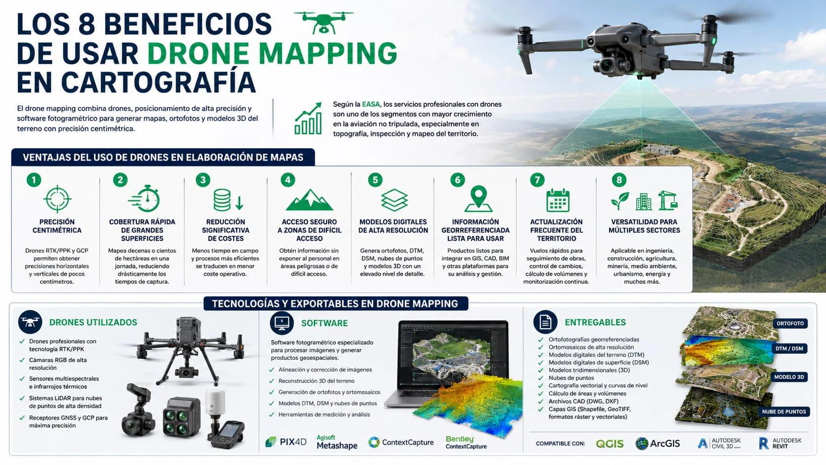
The advantages of using drones to produce maps
1. Centimetre-level accuracy in data capture
Professional drones equipped with RTK and PPK systems, combined with ground control points (GCPs), achieve horizontal and vertical accuracy within a few centimetres. This means the resulting mapping and survey models can be used with confidence on engineering, civil works and land-planning projects.
2. Fast coverage of large areas
One of the main advantages of drone mapping is its high productivity. A single team can map tens or even hundreds of hectares in a day, cutting data acquisition time considerably compared with traditional methods.
3. Significant cost savings
By reducing time in the field and automating much of the data capture, drones lower the operating costs of topographic and mapping surveys.
4. Safe access to hard-to-reach areas
Drones can collect data in areas that are difficult or risky for workers to reach on foot, such as embankments, quarries, infrastructure, woodland, industrial roofs or ground affected by landslides.
5. High-resolution digital models
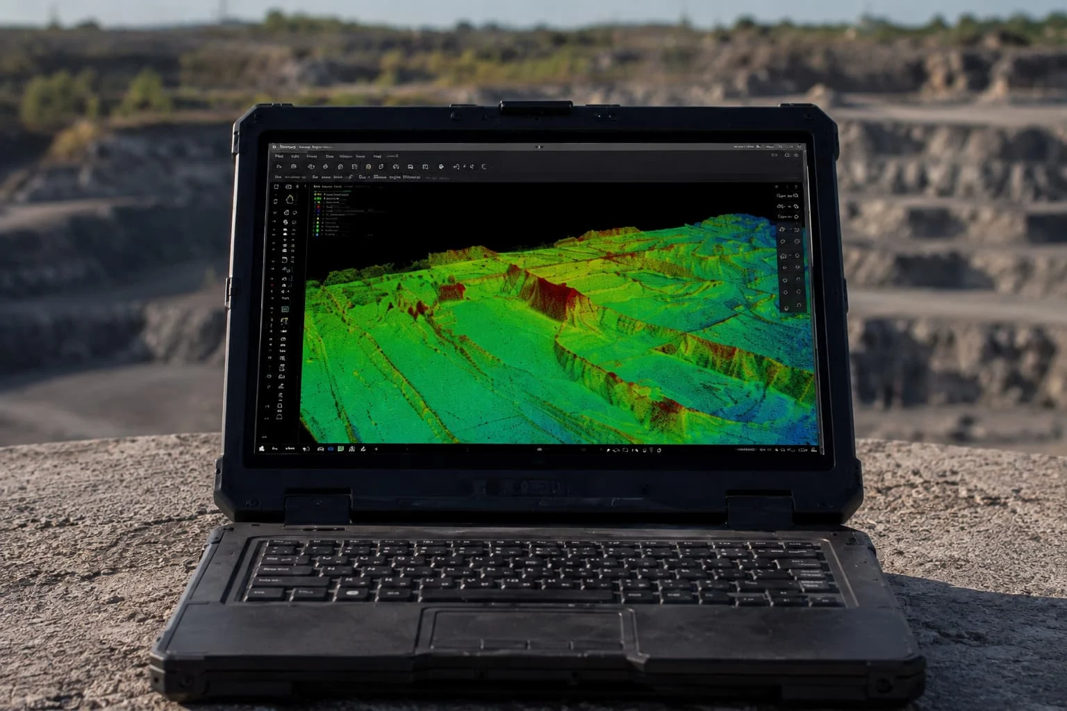
Photogrammetric processing produces highly detailed orthophotos, orthomosaics, digital terrain models (DTM), digital surface models (DSM), point clouds and 3D models.
6. Georeferenced data ready to use
Every output is georeferenced and can be loaded straight into GIS platforms, CAD and BIM software or engineering applications, making spatial analysis and decision-making easier.
7. Frequent updates of the site
Because flights are quick, surveys can be repeated often to monitor construction progress, track ground movement, calculate volumes or follow how projects and infrastructure evolve.
8. Versatility across many sectors
Drone mapping has applications in many fields:
- Civil engineering
- Construction
- Urban planning
- Surveying
- Precision agriculture
- Mining
- Forestry management
- Environment
- Historic heritage
- Energy and infrastructure
Drone mapping technology and deliverables
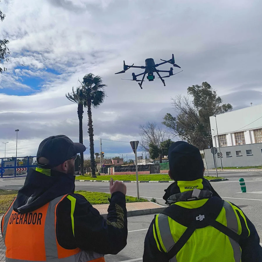
Drones used
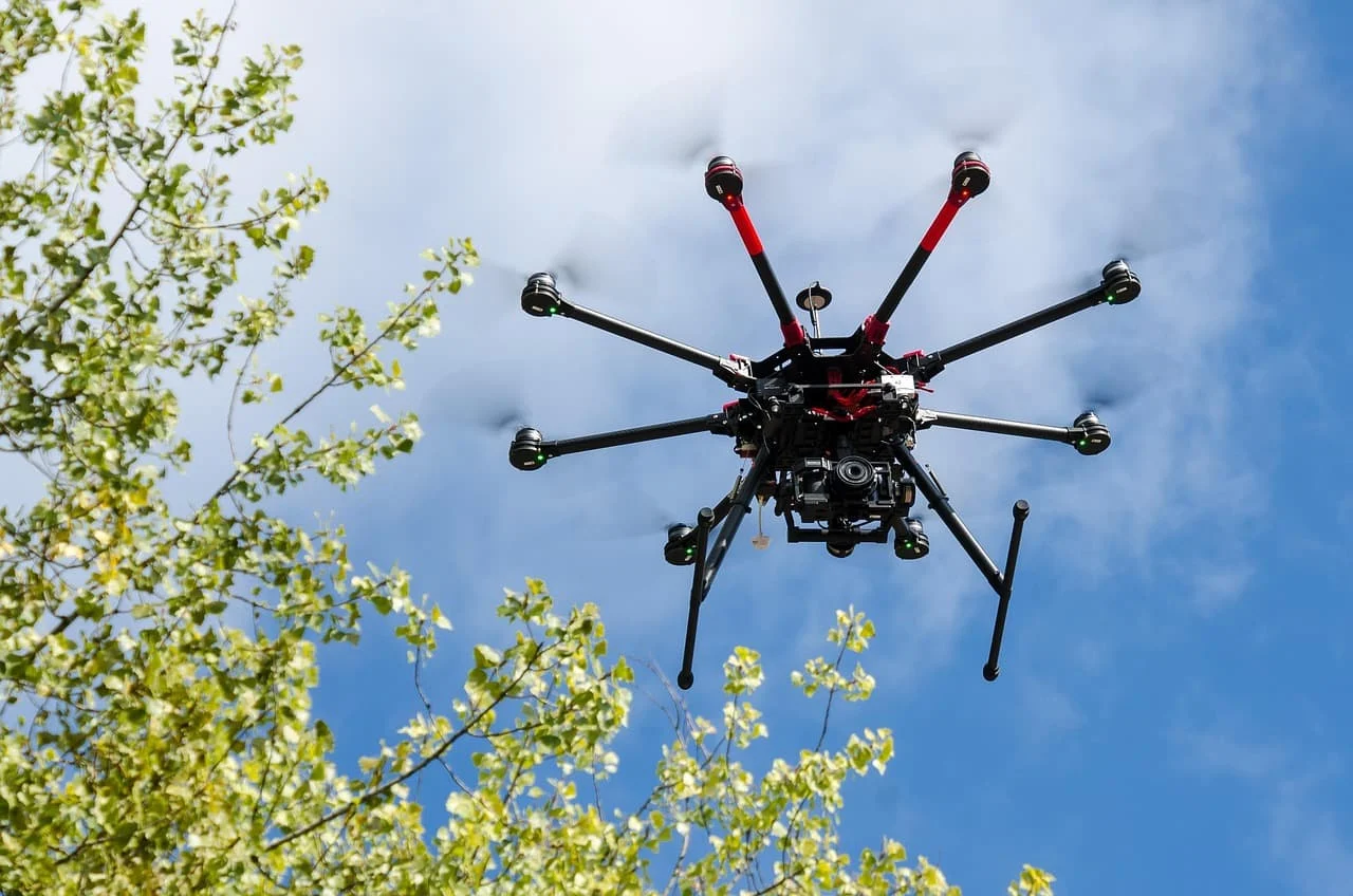
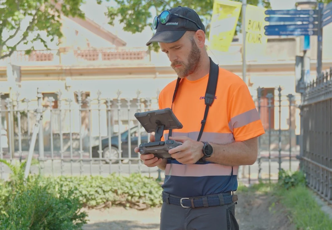
Drone mapping calls for professional platforms that fly with great stability and position themselves to the centimetre. They are typically drones with RTK or PPK technology carrying high-resolution RGB cameras, multispectral sensors, thermal cameras or even LiDAR systems when the project needs to capture data beneath vegetation or produce high-density point clouds.
Alongside the drone, GNSS receivers and ground control points (GCPs) are commonly used to improve the absolute accuracy of the mapping models.
Software
Once the images are captured, all the data is processed in specialist photogrammetry software that reconstructs the terrain and generates a range of geospatial products.
During processing, coordinates are corrected, photographs are aligned, and orthomosaics, digital terrain models, surface models, point clouds and 3D models are created, ready for analysis or for use in other workflows.
Deliverables
Depending on the project, a drone mapping service can produce a range of technical outputs, including:
- Georeferenced orthophotos.
- High-resolution orthomosaics.
- Digital terrain models (DTM).
- Digital surface models (DSM).
- 3D models.
- Point clouds.
- Vector mapping.
- Contour lines.
- Area and volume calculations.
- CAD files (DWG and DXF).
- GIS layers (Shapefile, GeoTIFF and other raster and vector formats).
These deliverables can be loaded directly into software such as QGIS, ArcGIS, AutoCAD Civil 3D, Revit or BIM platforms, making project analysis, planning and management easier.