VisionHub



Drone point clouds: when to use photogrammetry and when to use a LiDAR scanner
By Jaime Gaig ·
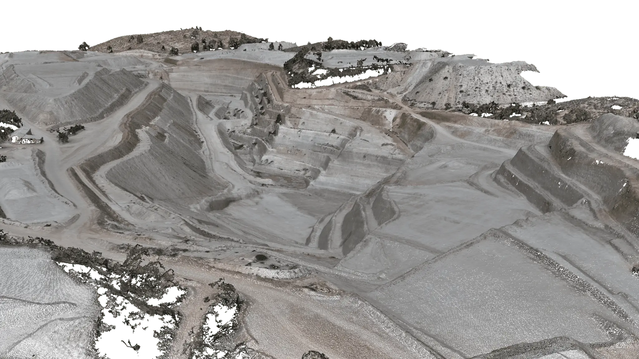
What is a drone point cloud?
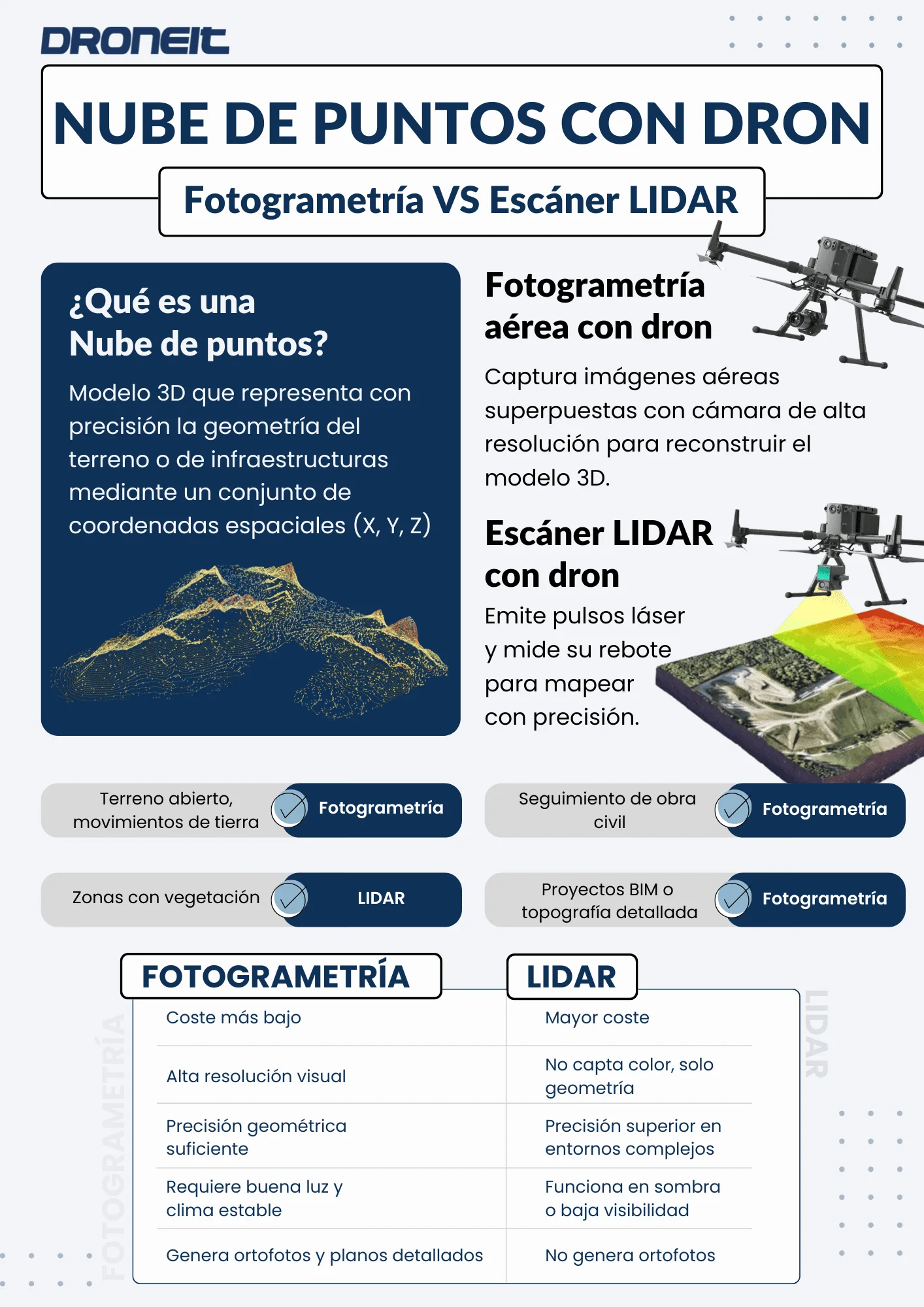
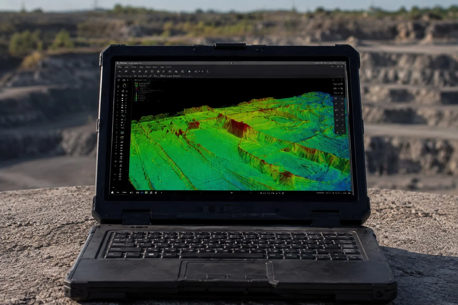
Drone-generated point clouds have become a key tool in sectors such as construction, engineering, surveying and renewable energy. They capture the condition of the terrain or a piece of infrastructure with centimetre-level accuracy, saving time and money compared with traditional methods.
However, there are several ways to produce these point clouds. Which is right for your project: photogrammetry or LiDAR? Here we explain when to use each, how they differ, and their costs and limitations.
Drone photogrammetry
Aerial photogrammetry involves capturing overlapping aerial images with a drone fitted with a high-resolution camera. Specialist software (Pix4D, Metashape, DJI Terra and so on) then reconstructs the 3D model.
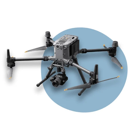
Advantages:
- Lower cost.
- High visual resolution (real photographs).
- Ideal for flat surfaces, civil works and construction progress monitoring.
- Produces orthophotos and plans with a high level of visual detail.
⚠️ Limitations:
- Depends on sunlight and weather conditions.
- Less effective on vertical faces or steep changes in level.
- In areas of very dense vegetation, the cloud may have blind spots or gaps, because the camera cannot “see” the ground beneath the canopy.
Drone LiDAR scanning
A LiDAR sensor service emits thousands of laser pulses per second and measures how long they take to bounce back off objects. This captures shapes and volumes with great accuracy.
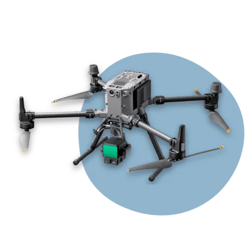
Advantages:
- Can penetrate dense vegetation and capture the terrain beneath trees or scrub.
- Performs better in low light or shade.
- Higher geometric accuracy in complex environments.
⚠️ Limitations:
- Higher operating cost (sensor, processing, maintenance).
- Although accurate, the resulting point cloud is not directly comparable with one from a terrestrial LiDAR scanner, as the distance to the object is greater and there are fewer returns on vertical or narrow surfaces.
| Application | Recommendation | Reason |
|---|---|---|
| Open ground, earthworks | Photogrammetry | Fast, economical and accurate enough |
| Areas with trees or scrub | LiDAR | Penetrates vegetation and captures the true ground surface |
| Civil works progress monitoring | Photogrammetry | Excellent visuals, good value for money |
| BIM projects or detailed surveying | Photogrammetry | Higher point density, cleaner model |
At Droneit we combine solutions
At Droneit we carry out both photogrammetric surveys and surveys with drone-mounted LiDAR scanners. On many projects, when the accuracy or complexity calls for it, we combine both technologies with terrestrial laser scanning to produce a hybrid model that brings together the best of each technique.
This approach lets us adapt to any scenario, making the most of resources and delivering results of the highest technical quality.
📩 Have a project that needs a drone point cloud? Get in touch for no-obligation advice.