VisionHub



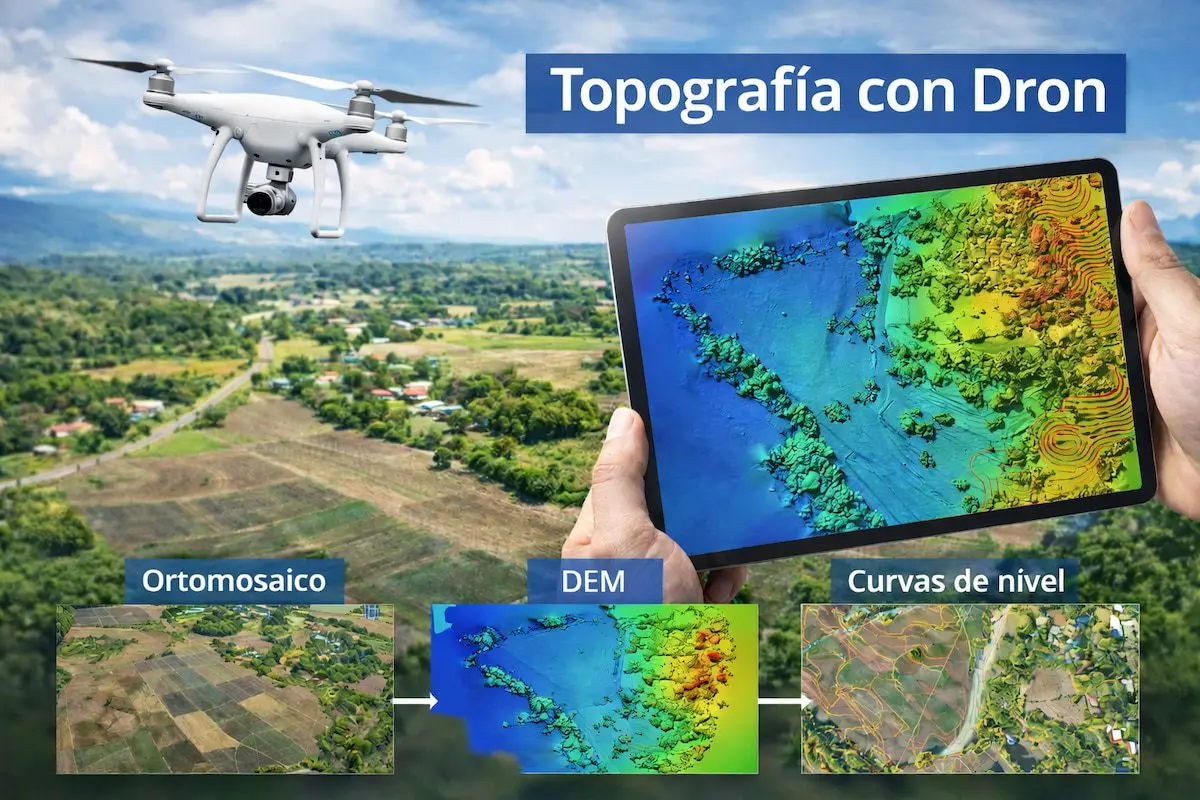
When a client asks us for a drone topographic survey, as in this case, what matters is not only the flight but the deliverables they receive afterwards.
At Droneit we turn aerial imagery into ready-to-use technical data that fits the workflows of engineers, architects, surveyors and site teams.
Digital models: the foundation of the project
We deliver models in industry-standard formats:
GeoTIFF · DEM · DTM
What can these models do?
- Analyse slopes and elevations
- Calculate earthwork volumes
- Simulate runoff and drainage
- Plan earthworks on site
The result: faster decisions, fewer site visits and greater control of the terrain from the office.
2D vector deliverables: accuracy straight into CAD
DXF · DWG · SHP
These formats can be used directly in AutoCAD, Civil 3D, QGIS and other technical software.
Practical applications
- Measure real distances
- Calculate exact areas
- Design on the real terrain
- Integrate the survey into existing projects
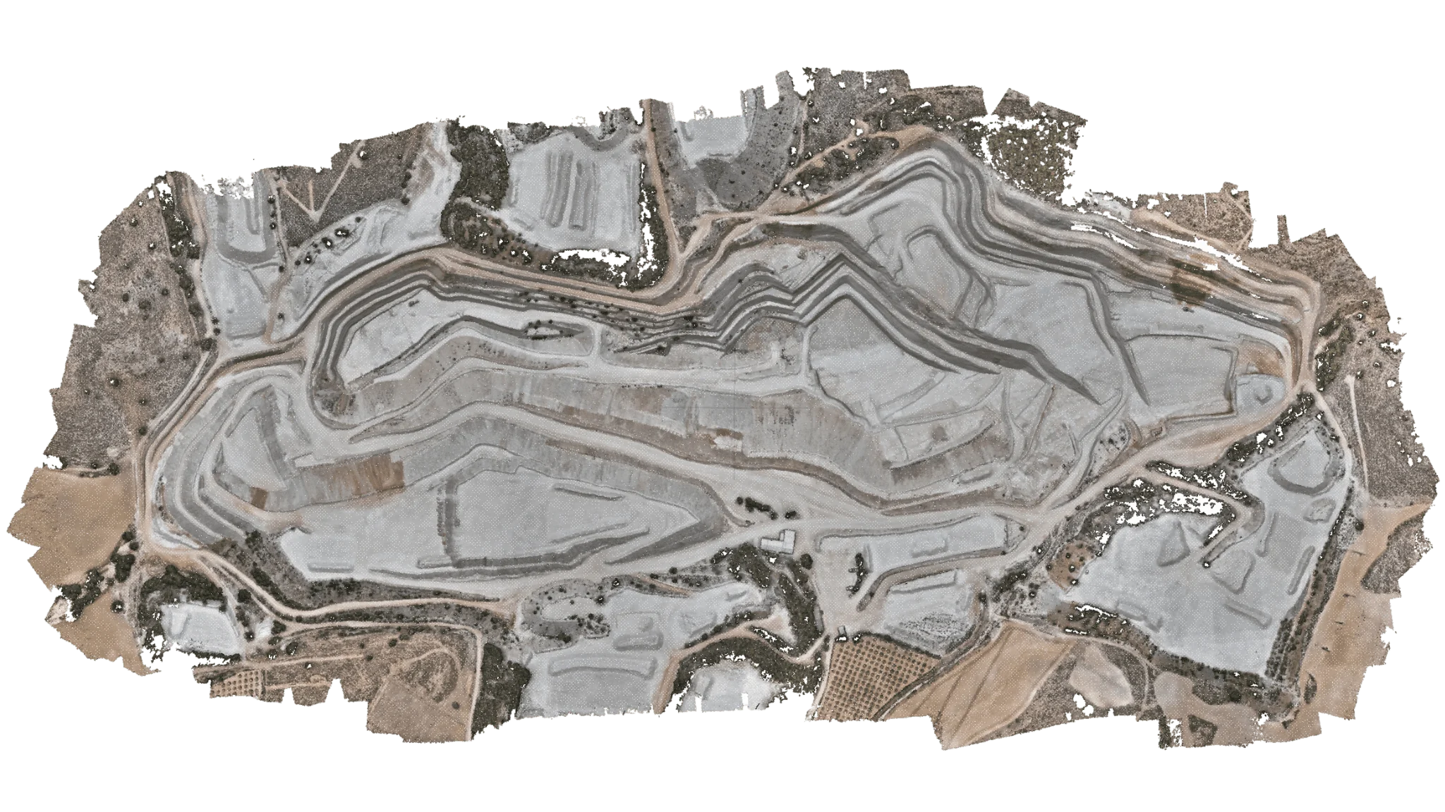
For example, when we produce a point cloud converted to DWG, the client can accurately measure any feature without going back to site.
Need a quote?
We handle the flight permits
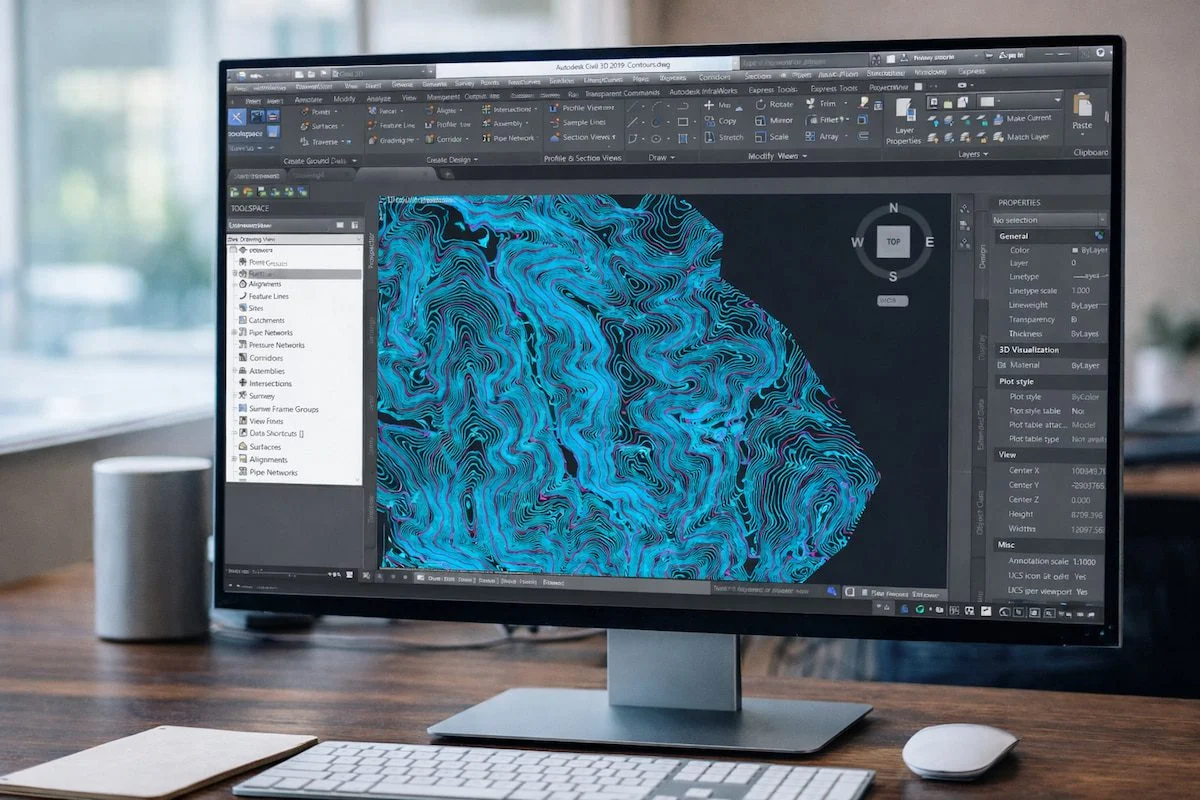
Contour lines: the relief at a glance
XYZ · SHP · DXF
Essential for:
- Hydraulic and drainage projects
- Linear infrastructure
- Environmental impact assessments
- Civil engineering and urban planning
Contour lines let you understand how the terrain behaves at a glance and design with complete confidence.
Key advantages over traditional surveying
| Advantage | Direct impact |
|---|---|
| Fast capture | Lead times cut from weeks to days |
| Maximum accuracy | Controlled centimetre-level error |
| Remote working | Fewer trips to site |
| Reusable data | The same survey serves several project phases |
| Direct integration | Compatible with CAD, GIS and BIM |
A deliverable that becomes a working tool
At Droneit audiovisual services we don't just hand over ‘files’. We deliver technical tools that let you:
- Measure, design and calculate from day one
- Reduce construction costs
- Avoid setting-out errors
- Make decisions based on real data
Need more information?
Contact us to find out about all our aerial surveying, mapping, photogrammetry and drone orthophoto capture services.