VisionHub



Carrying out a topographic survey project with a drone
By Jaime Gaig · , updated
DRONE SURVEYING SERVICES
For work in the sector, our drone surveying service cuts costs and delivers results sooner and faster, with very high accuracy compared with traditional topographic surveys.
HOW DOES IT WORK?
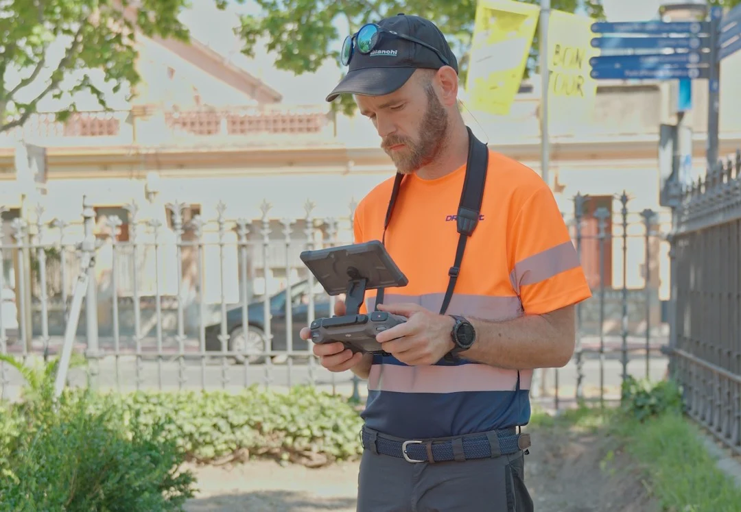
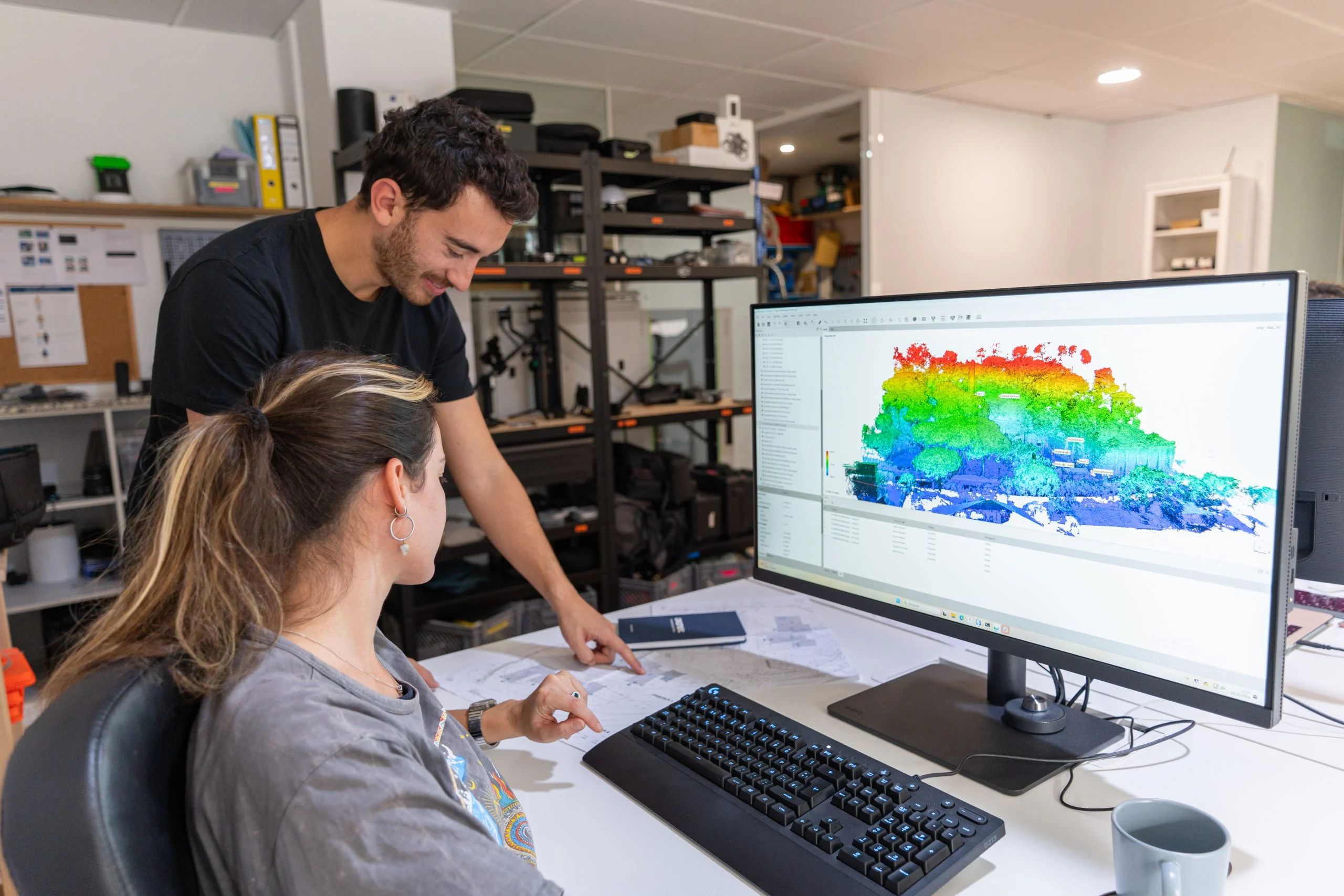
First, aerial photographs are taken of the area to be studied and measured. These images are processed to produce a high-resolution point cloud, similar to the one obtained with other systems such as LIDAR. Every point is georeferenced, so its exact position in space is known.
WHAT RESULTS CAN WE DELIVER?
The results we can deliver:
- Measurements (the height of a point, distances between points, and also areas and volumes).
- Orthophotos: georeferenced photographs with an overhead (nadir) perspective.
- Digital Elevation Map: using colours for the different elevations, we create a view of the terrain that is easy to interpret.
- High-resolution 3D models: a virtual three-dimensional model whose surfaces have photographic quality that reflects reality.
- Contour lines: a classic format that is easy to read and interpret.
- 3D printing: a 3D model can be printed to scale.
HOW LONG DOES DRONE SURVEYING TAKE?
The time needed for a drone survey project depends on the area to be photographed. We can use multirotors or fixed-wing (aeroplane-type) drones. The time required can vary, but lead times will always be shorter than with conventional surveying, and at a lower cost.
WHAT IF THERE IS A LOT OF VEGETATION?
If there is dense vegetation on the ground that stops the images from showing the true surface, there is always the option of doing the job with LIDAR. It works like a radar, with the advantage that it penetrates down to ground level, so the real, georeferenced points can be obtained.
If you would like more information about our audiovisual services, please get in touch.