VisionHub



Measuring hard-to-reach land accurately without walking it
By Javier Morell · , updated
At Droneit we regularly work with clients who need to measure plots, rural estates, farms or land earmarked for engineering and construction projects, where access is difficult or even impossible.
Ravines, steep slopes, dense vegetation, flood-prone ground and very large plots are all situations where traditional methods can become slow and costly, and put the technicians doing the fieldwork at risk.
With aerial drone photogrammetry, we can now obtain high-accuracy topographic data without physically covering the whole area on foot. This shortens turnaround times, keeps costs down and makes operations significantly safer.
What is more, when parts of the site are inaccessible, drone technology is often not just the most efficient option but the only practical way to obtain reliable data.
The problems with traditional measurement on difficult terrain
Conventional measurement requires technicians to physically cover the entire plot to take the readings they need. While the method remains valid on many projects, it has serious limitations when the ground is hard to access.
The most common obstacles include:
- Thick vegetation that makes it hard to move around.
- Steep gradients and rugged ground.
- Very large plots that require long working days.
- Ravines, watercourses or flood-prone areas.
- Restricted-access areas or ground that is difficult to cross.
These conditions usually mean higher operating costs, longer timescales and greater exposure to occupational risks. And when certain areas cannot be inspected directly, the quality of the data can suffer.
How we solve the problem with aerial photogrammetry
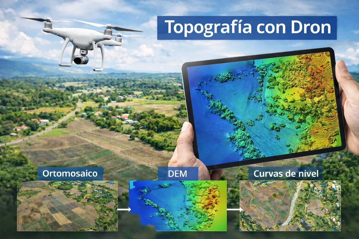
At Droneit we use advanced UAV photogrammetry systems to capture thousands of georeferenced images from the air and turn them into high-accuracy topographic data.
We work with drones equipped with aerial photogrammetry cameras, RTK technology and high-precision GPS, which allows us to obtain reliable data even on very large projects.
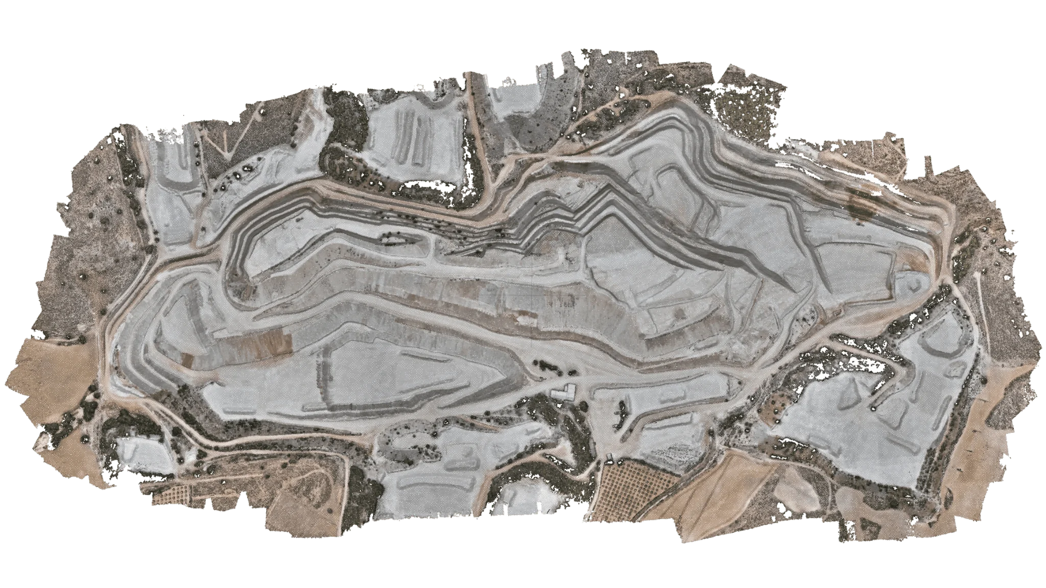
Combining surveyed ground control points (GCPs), RTK positioning and advanced photogrammetric processing lets us achieve centimetre-level accuracy and produce highly detailed 3D models and orthophotos.
This way we can measure areas, calculate distances, analyse changes in level and document the terrain without having to walk the entire plot.