VisionHub



Aerial topographic surveys: lower cost, wider reach and faster results
By Jaime Gaig · , updated
In recent years, drone topographic surveying has established itself as one of the most powerful tools for engineering, construction and land-planning projects.
At Droneit we have embraced this technological shift with a clear aim: to deliver results that are more accurate, faster and significantly cheaper than traditional methods.
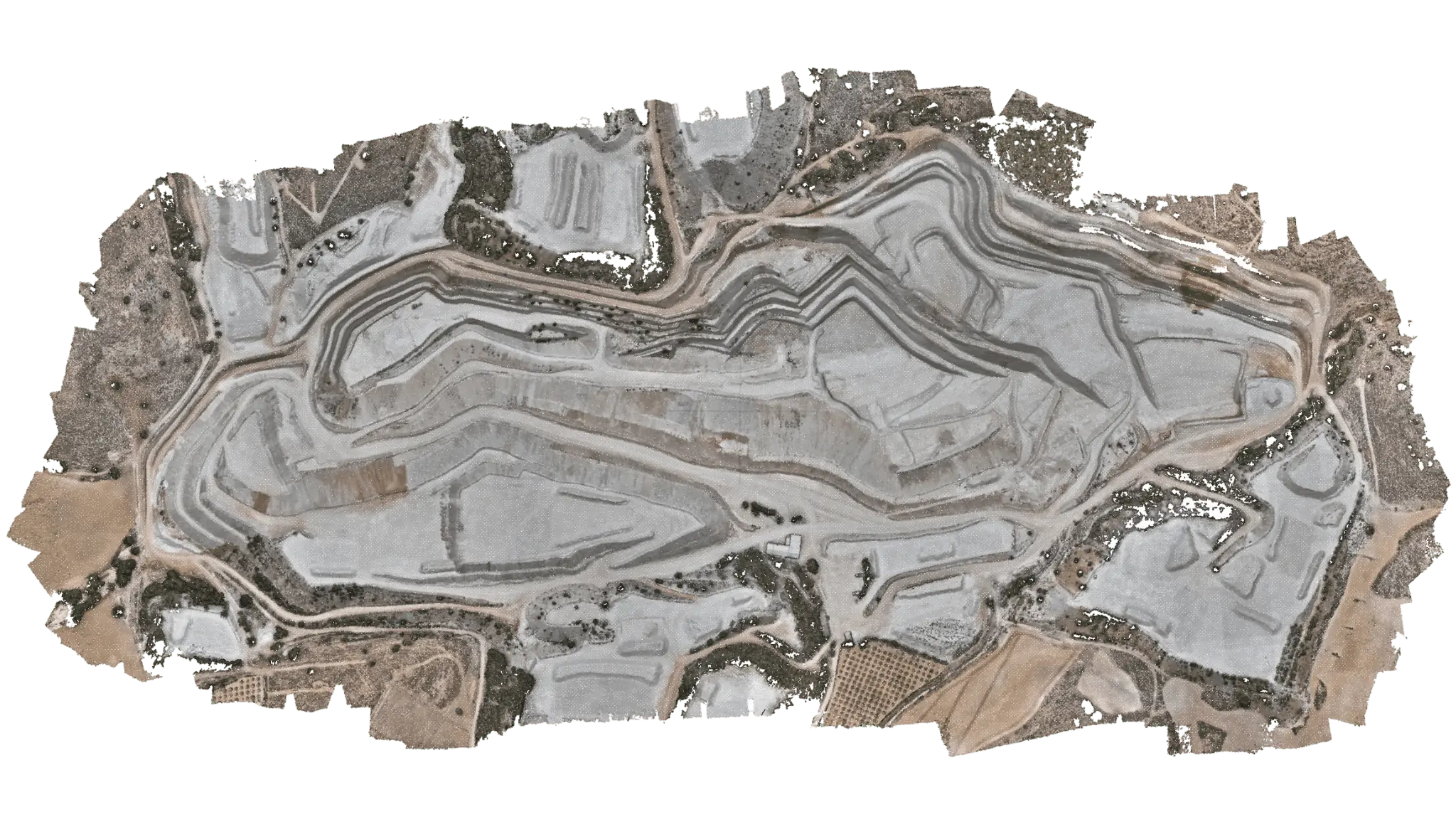
> Take a look at our portfolio: Volumetric Measurement in a Quarry with Drone Photogrammetry
How does a drone topographic survey work?
Our PPK and RTK drones allow us to carry out drone surveying with maximum accuracy. Equipped with high-resolution cameras and advanced positioning systems, they capture detailed aerial photographs of the entire study area. When carrying out a topographic survey, we can also georeference the point clouds using existing ground control points (GCPs), ensuring centimetre-level accuracy even in complex environments.
This technology lets us cover up to 100 hectares per day, depending on the technology used, far more than conventional surveying, which can need weeks of fieldwork to cover the same area.
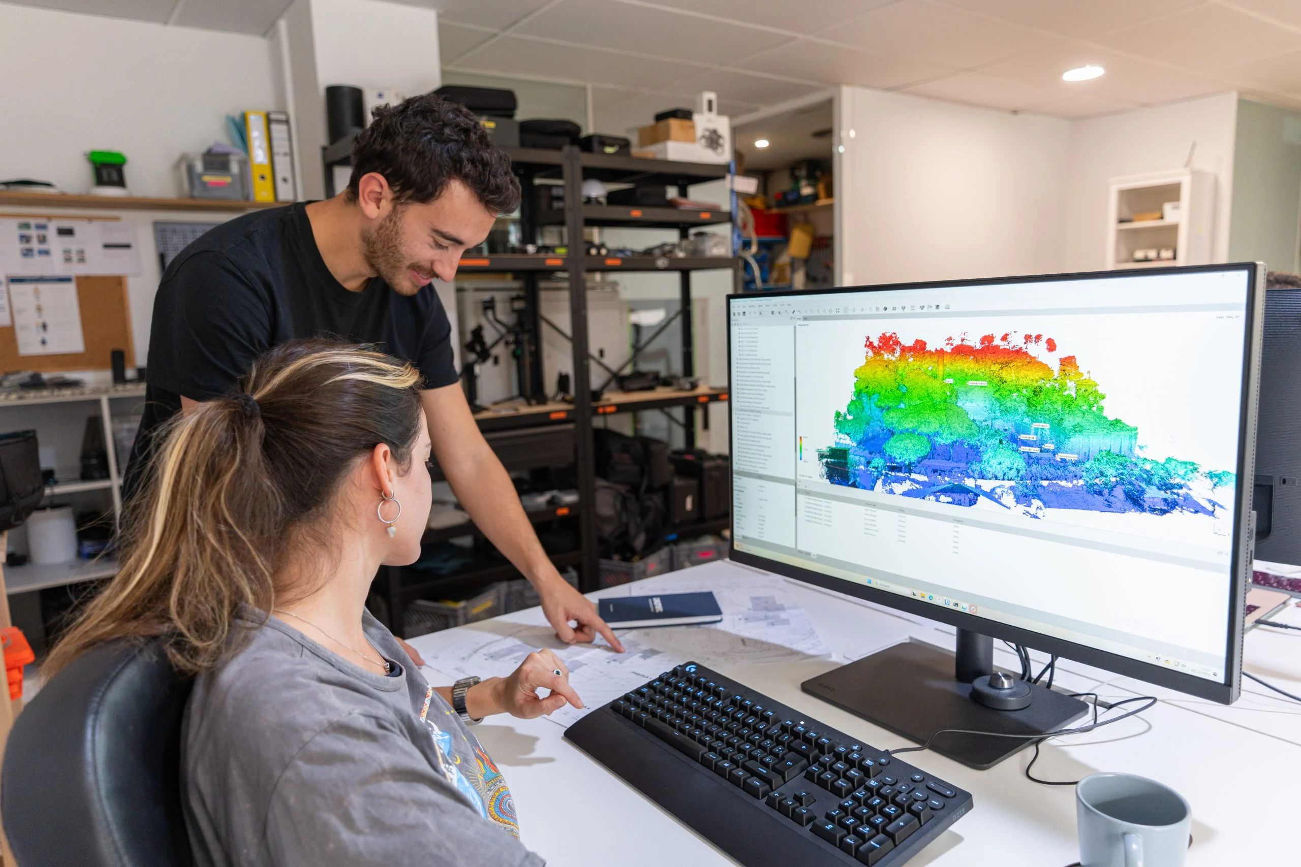
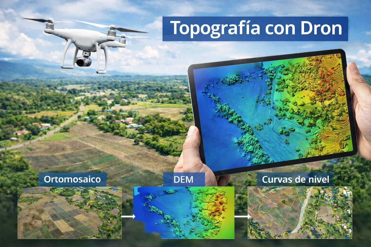
Once captured, the images are processed with advanced photogrammetry software to generate a high-density, georeferenced point cloud. We then classify the ground and the features on it to obtain precise metric data, including:
- High-resolution orthophotography
- Digital Terrain Model (DTM)
- Digital Surface Model (DSM)
- 2D plans and planimetric surveys
- Contour lines
- BIM modelling from point clouds (ideal for civil works, architecture and engineering)
The end result offers accuracy comparable to a LiDAR survey, but with shorter lead times, more competitive costs, simpler flight permit management and much quicker fieldwork.
Speed and efficiency on every project
Our drones can cover up to 100 hectares per day, depending on the technology used. By combining RTK and PPK systems, calibrated cameras and surveyed ground control points (GCPs), we achieve accuracy of around ±2 cm, dramatically reducing:
- Operating costs
- Turnaround times
- Risks in hard-to-reach areas
- The need for large field crews
Every project is planned around the characteristics of the terrain to ensure the best possible results.
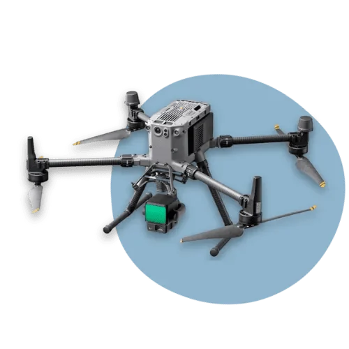
The future of surveying is already here
Drone surveying, volumetric and surface analysis and digital terrain management are just some of the applications where this technology shows its full potential. With more data, greater accuracy and reliable digital models, you can make smarter decisions and optimise every phase of the project.
Our drone survey service guarantees:
- Detailed technical information
- A high-accuracy drone photogrammetric survey
- BIM models from point clouds
- Professional orthophotography
- Tailored advice
At Droneit we can support you from the initial study through to final delivery. Our team offers tailored solutions for engineering, architecture, construction and civil works projects.
📩 Any other questions? Get in touch for no-obligation advice.