VisionHub



Marking ground control points on digital elevation maps
By Jaime Gaig · , updated
When using
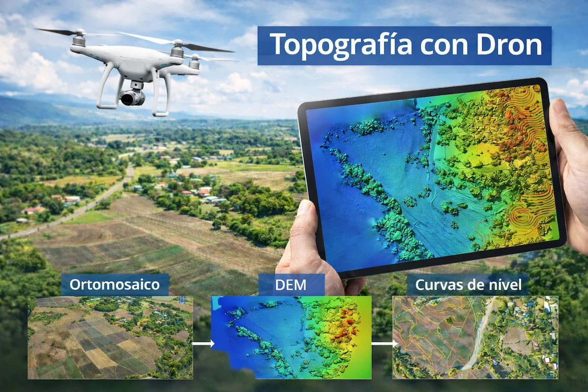
drones to carry out topographic surveys
, we have a great deal of help on our projects, because we work with high-quality images and thousands of control points. These tools cut costs and make the work dramatically faster.
MARKING GROUND CONTROL POINTS ON DIGITAL ELEVATION MAPS
When carrying out a drone surveying project, you may wonder how to mark the ground control points to make sure the 3D model is correctly positioned on the ground.
ARE GROUND CONTROL POINTS ESSENTIAL?
No. Even without marking ground control points, all the results we obtain, the heights and everything we see, have the correct shape. However, because we do not know the exact position of the drone, the map, while correct, may be shifted along the X, Y and Z axes. It could even be rotated at any angle, or the scale may be wrong. Once you have marked it, it may turn out slightly larger or smaller than it really was.
HOW MANY GROUND CONTROL POINTS DO DIGITAL MAPS NEED?
With one point, we anchor the model, but it can still rotate and end up larger or smaller. Once we add a second point, it is far more constrained, as it can only rotate around those two points, so it is effectively fixed.
With three points, the model is properly fixed in place, so three points give us a reliable model. Even so, five to seven points are recommended to reduce error.
WHERE SHOULD GROUND CONTROL POINTS GO?
When deciding where to place the ground control points for a topographic survey, there are several things to bear in mind.
1. Ground control points should not be placed too close together: if there are only a few points and they sit close to one another, they may not serve their purpose, because the model is neither rotated on itself nor shifted along its axes.
2. The points should not be placed in a line, as this would allow the topographic model to rotate. It is therefore best to place ground control points randomly, without bunching them together or lining them up. If you have any questions about how we work, get in touch with Droneit.