VisionHub



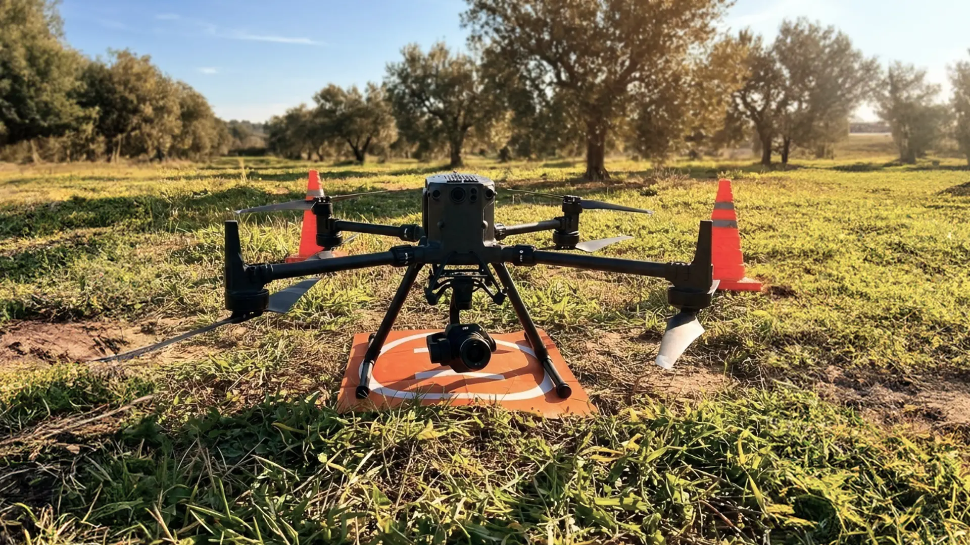
Drone photogrammetry has become a key tool for improving accuracy, planning and site control on construction projects.
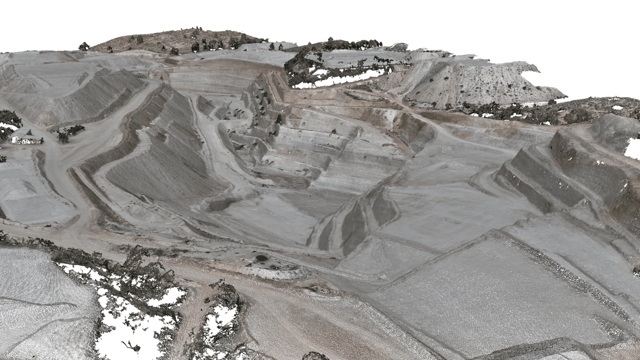
Today, contractors, engineering firms, architecture practices and developers use drones and photogrammetry software to produce 3D models, orthophotos, survey measurements and construction progress monitoring with a speed and accuracy that seemed out of reach only a few years ago.
In this article we explain exactly what photogrammetry means in construction, how it works and what its main advantages are.
What is photogrammetry?
Photogrammetry is a technique for extracting metric and spatial information about a piece of land, a building or an object from overlapping photographs.
Using advanced algorithms and specialist software, hundreds or thousands of images captured by drones are processed to generate:
- 3D models
- Point clouds
- Orthophotos
- Volume measurements
- Topographic maps
- Digital terrain models (DTM)
- Digital surface models (DSM)
In other words, photogrammetry turns photographs into accurate, measurable data.
How does drone
photogrammetry work?
1. Flight planning
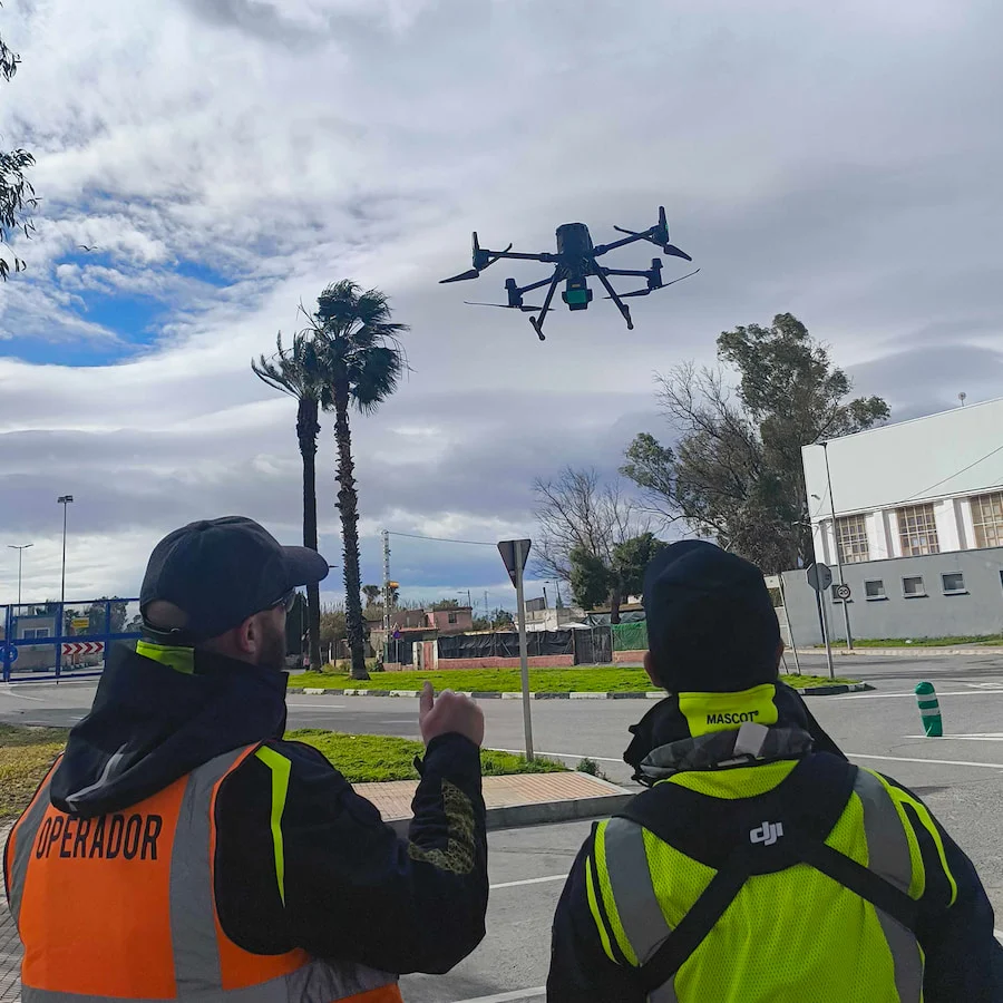
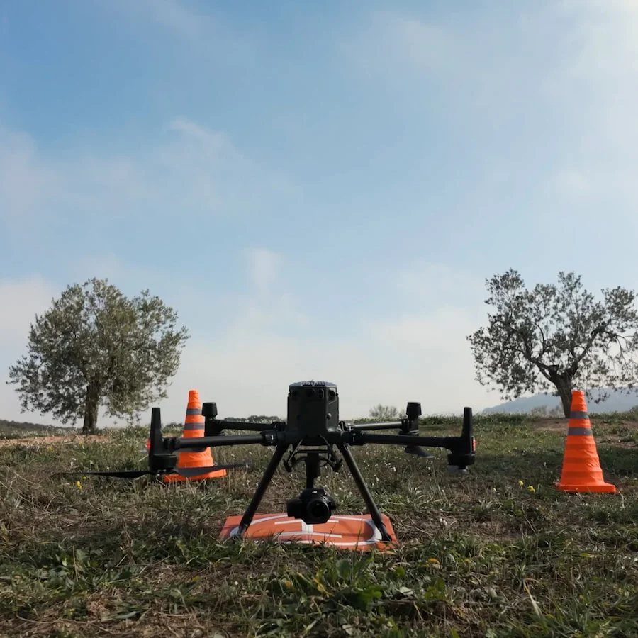
Before take-off, an automated mission is designed taking into account:
- Flight altitude
- Size of the area
- Ground conditions
- Overlap between images
- Required resolution
Getting the photo overlap right is essential for an accurate reconstruction.
2. Image capture
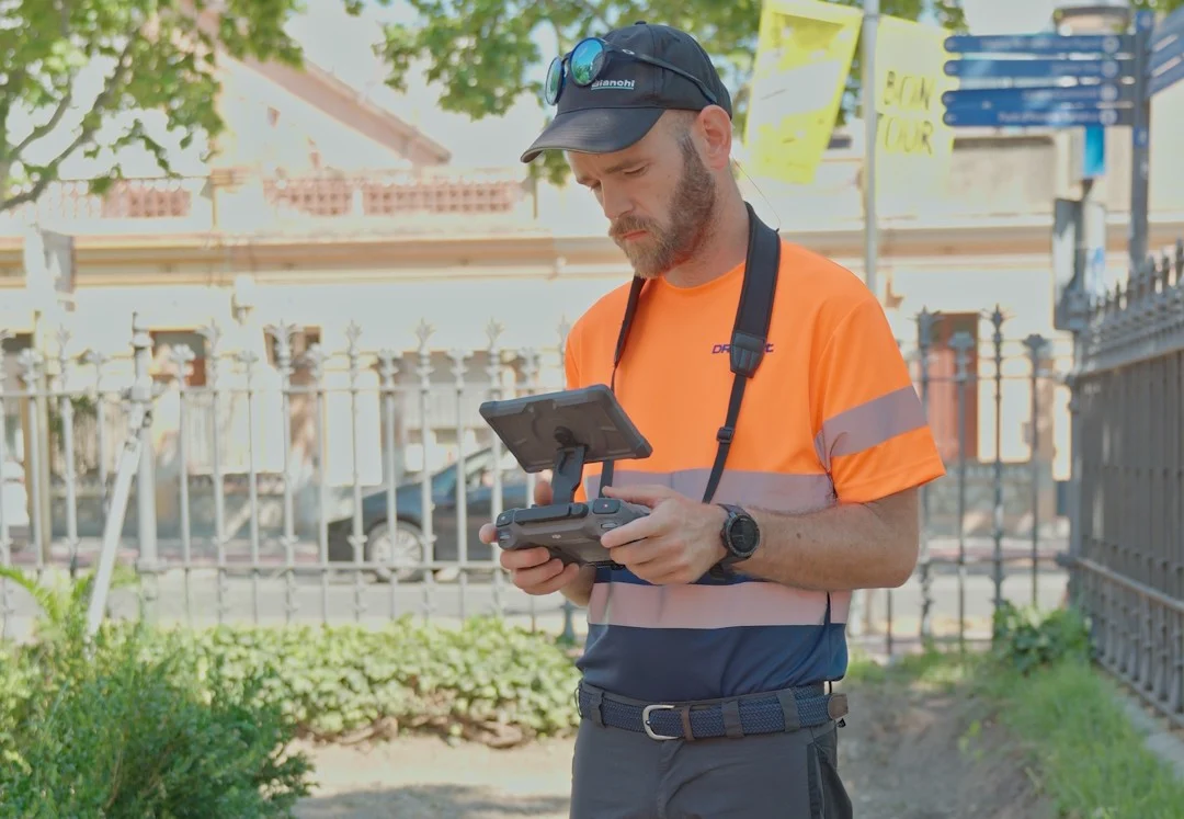
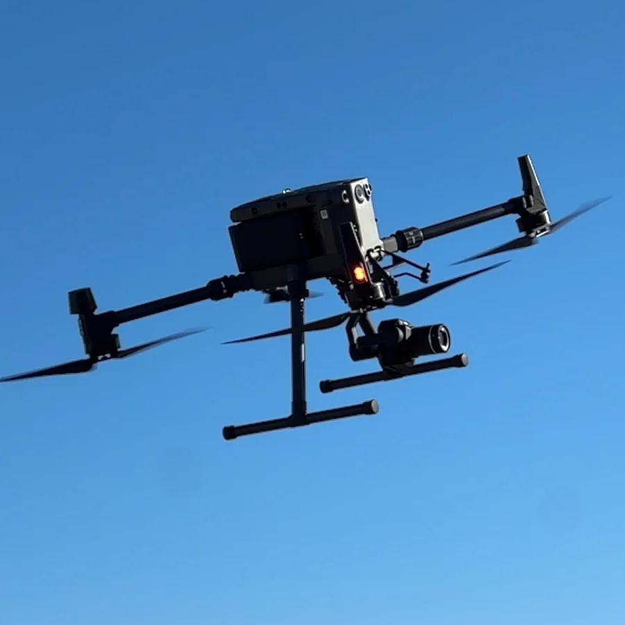
The drone flies automated routes, taking hundreds of georeferenced photographs from different angles.
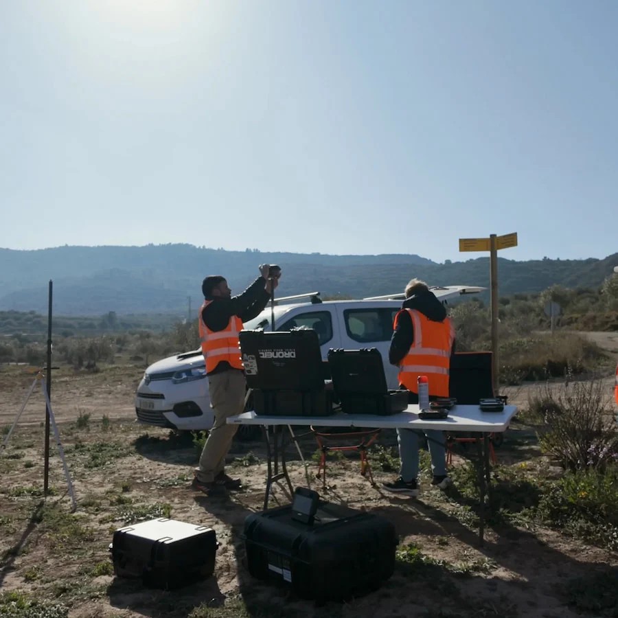
Today's RTK and PPK drones can reach centimetre-level accuracy when combined with ground control points (GCPs).
3. Photogrammetric processing
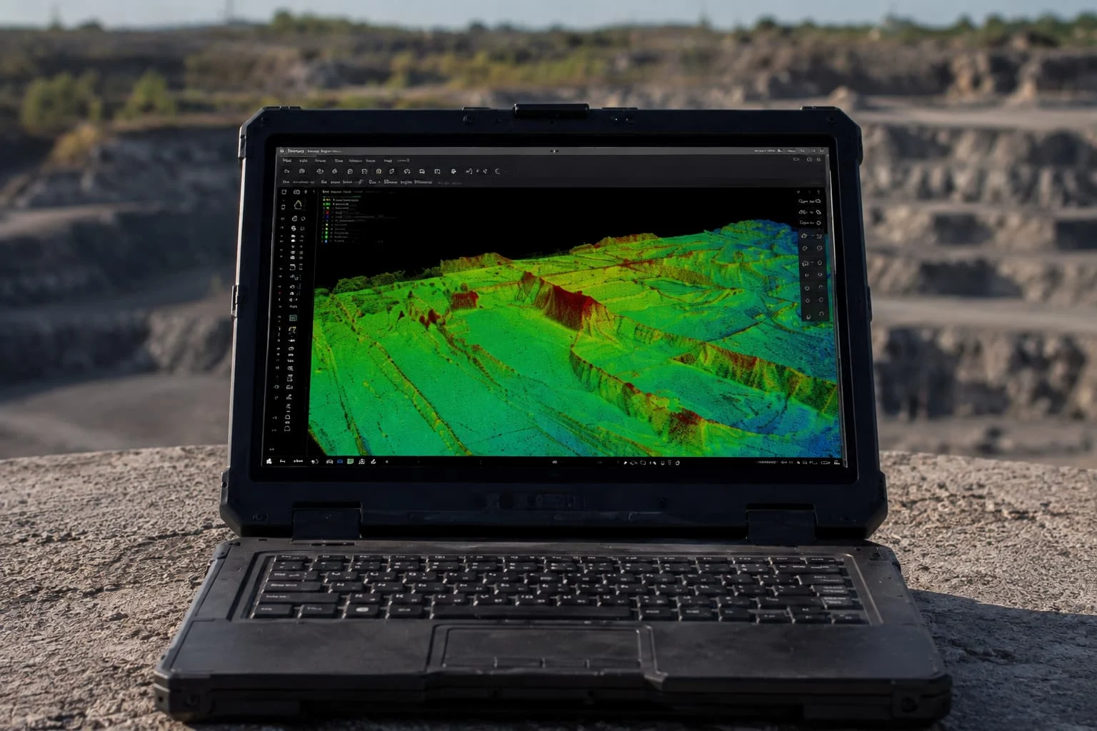
The images are processed with specialist software that detects common points across photographs to reconstruct the scene in 3D.
The result is an extremely detailed digital representation of the terrain or structure.
4. Data analysis and use
Once the model has been generated, it can provide:
- Exact measurements
- Comparisons over time
- Construction progress tracking
- Volume calculations
- Error detection
- BIM integration
- Digital twins
Topographic surveys
With drones and photogrammetry, large areas can be mapped in a matter of minutes, cutting operating time and costs considerably.
The density of information captured is also far greater than with traditional surveying methods.
Construction progress monitoring
Regular flights document the actual progress of the project so it can be compared with the original schedule.
This makes it possible to:
- Spot deviations
- Track construction milestones
- Improve coordination between teams
- Produce visual reports for clients and investors
Volume calculations
According to studies by specialist platforms, drone-based volume calculations can come within a 1% to 2% margin of error compared with traditional surveying methods.
This is useful for:
- Quarries
- Civil engineering works
- Infrastructure
- Earthworks
- Materials management
BIM integration
Combining photogrammetry and BIM (Building Information Modelling) is opening a new chapter in the digitalisation of construction.
Drone-generated models can be integrated with BIM models to compare the actual state of the site with the design. Recent research shows how integrating BIM with 3D reconstruction systems improves early error detection and reduces rework.
Technical inspections and safety
Photogrammetry also reduces occupational risk. Drones make it possible to inspect industrial structures without scaffolding, cranes or hazardous physical access.
As well as improving safety, this shortens inspection times and the costs that come with them.
Applications of
photogrammetry in construction
Benefits of photogrammetry for construction projects
- Greater accuracy: the information captured is extremely detailed and measurable.
- Time savings: a survey that once took several days can be completed in a few hours.
- Lower costs: fewer hours in the field, fewer staff travelling to site and less need for heavy equipment.
- Better decisions: 3D models and orthophotos give a completely clear view of the project, so site managers can base their decisions on real, up-to-date data.
- Complete project records: every flight creates a historical record of the state of the site.
Drone photogrammetry is no longer an experimental technology. It has become an essential tool in modern construction.
Its ability to produce accurate, fast and visually powerful information helps make better use of resources, tighten site control and reduce risk on practically any type of project.
Specialist companies such as Droneit are leading this change, bringing advanced aerial capture and analysis to contractors, engineering firms and developers who want to work more efficiently, safely and profitably.
📩 Request a quote or more information